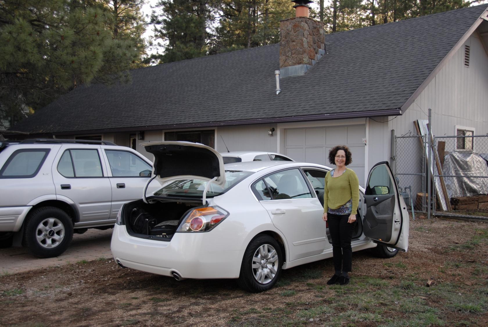
 DSC_9174.JPG
We arrived at our bed and breakfast, a private home Eliz found on AirBnB, after driving about 2 and a half hours from Phoenix to Flagstaff.
Elizabeth and I took a week-long trip to Flagstaff, Arizona to see the famous Meteor Crater, the somewhat less famous Sedona and the barely-mentioned Grand Canyon. We flew into Phoenix to save a little money.
DSC_9174.JPG
We arrived at our bed and breakfast, a private home
Eliz found on AirBnB, after driving about 2 and a half
hours from Phoenix to Flagstaff.
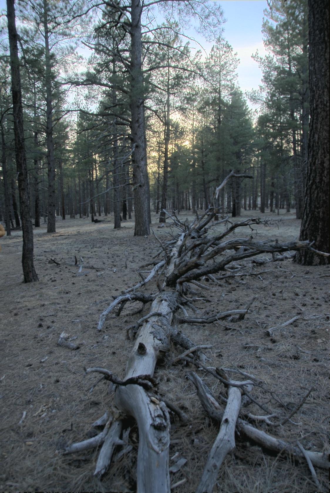 FallenLogAZ.jpg
The house literally backed up on a wilderness area,
where we took a walk before sunset.
 DSC_9205.JPG
The next day, we drove out to Meteor Crater, which was
the main reason for our trip. That’s the crater’s
rim visible in the background.
 IMG_0776.JPG
I was the main photographer (as usual), but Eliz took
some nice shots with her iPhone as well. (Any image
named IMG_* is hers.)
 DSC_9209.JPG
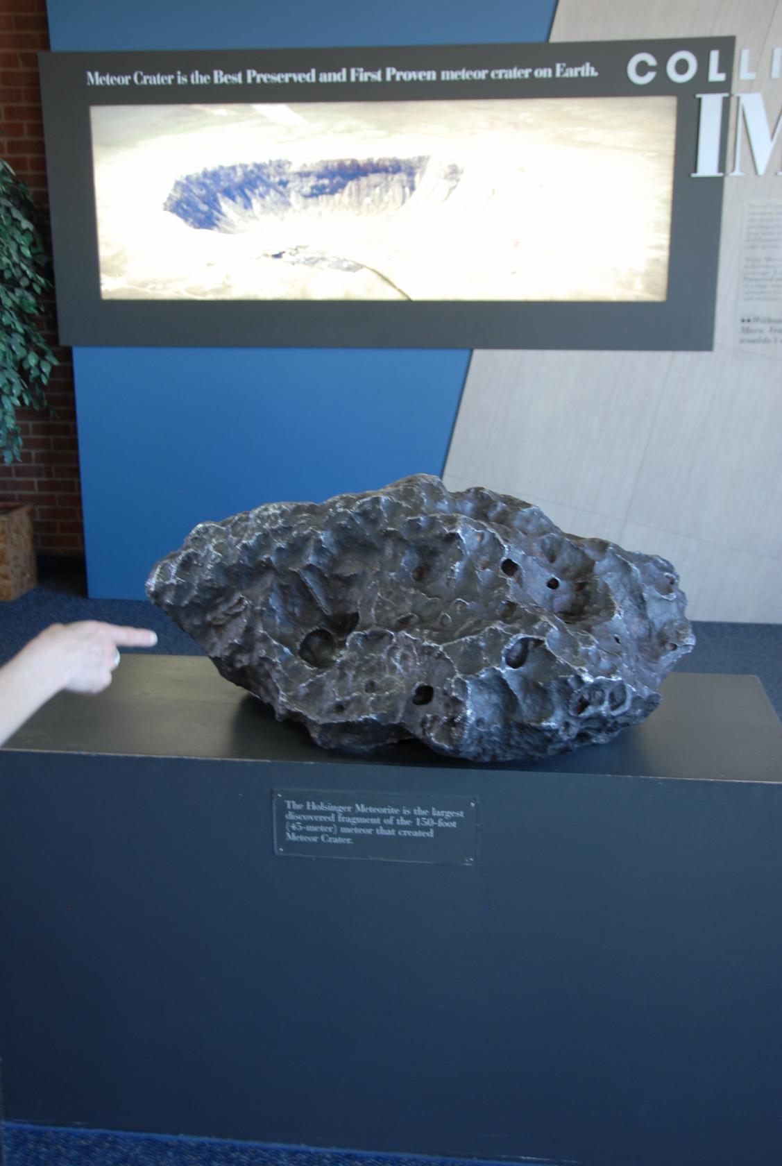
This is the biggest surviving chunk of the meteorite
that caused the impact 50,000 years ago, and it was
found some miles west of the crater.
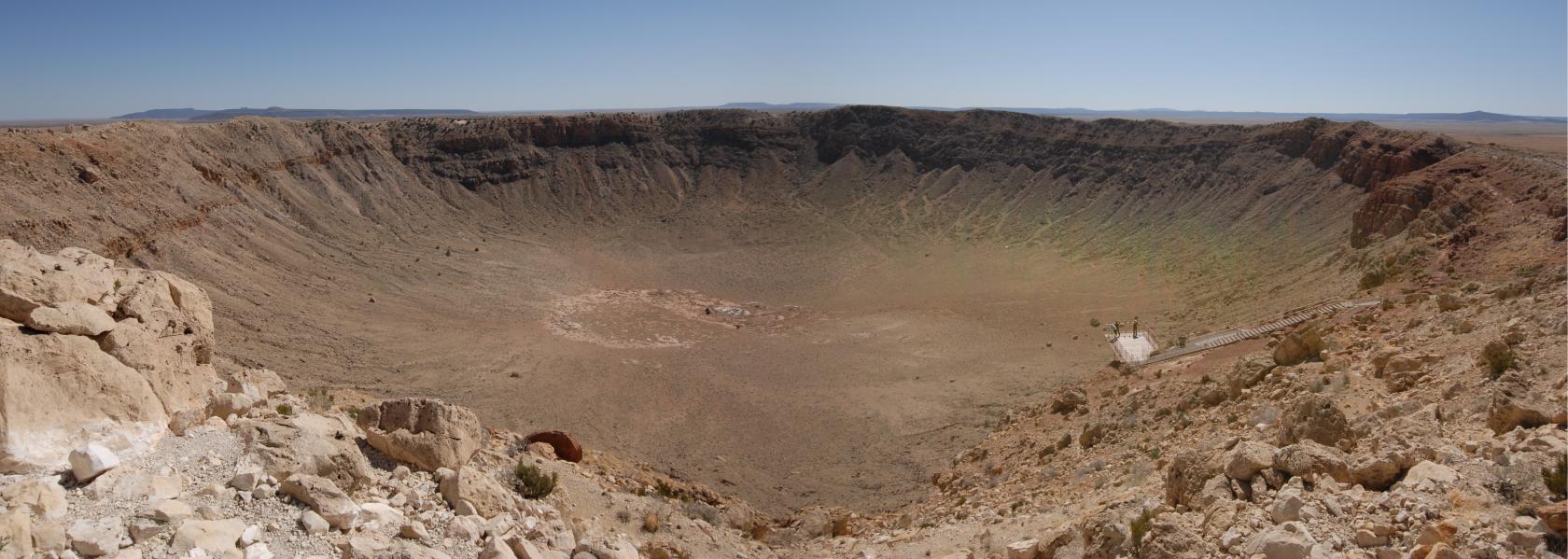
 MeteorCraterPano3.jpg
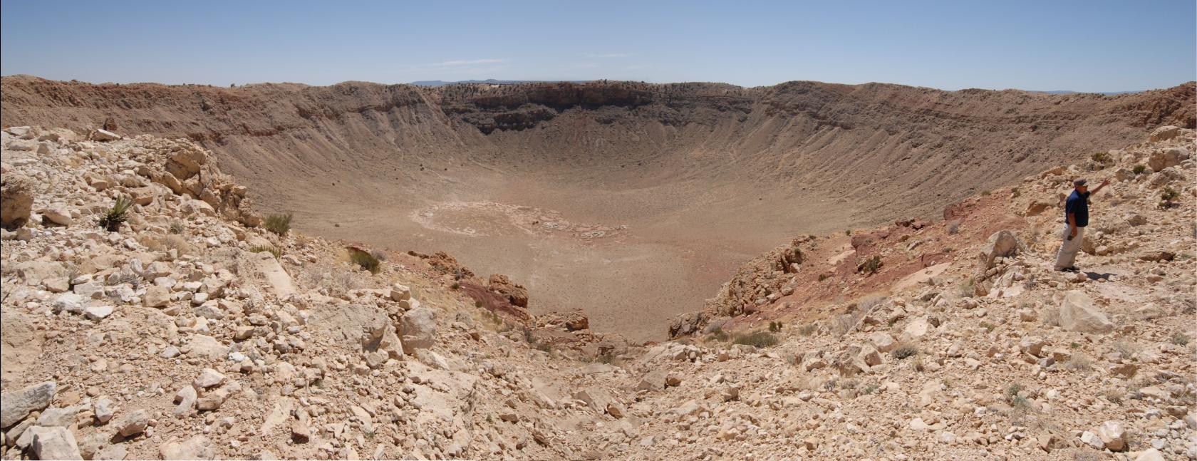
A panorama of the actual crater. (We took a few of
these.)
 DSC_9220.JPG
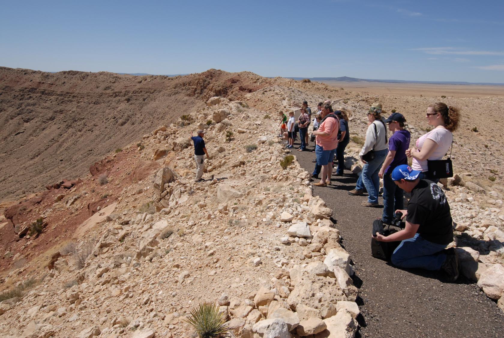
We were only allowed on a paved trail that extended
about a half mile along the rim, and had to be herded
by a guide the entire time. No wandering off and falling
in — dang!
 DSC_9225.JPG
This is one of the several mine shafts dug by Daniel
M. Barringer, who hoped to find an iron meteorite about
the size of the crater. The poor fellow died disappointed.
 DSC_9246.JPG
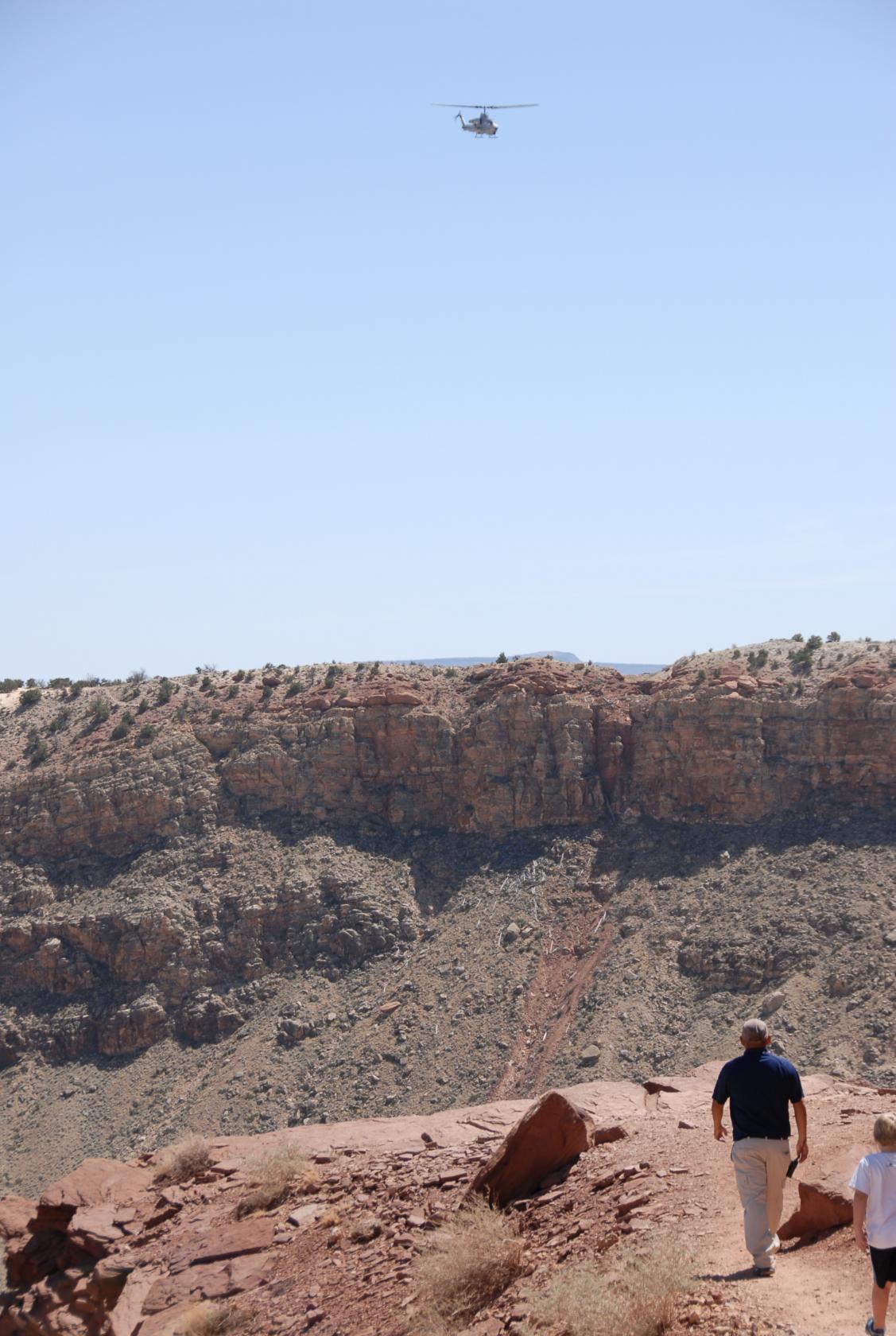
Commercial and private aircraft aren’t permitted
to fly anywhere near the crater, but the military can
go wherever they please.
 DSC_9248.JPG
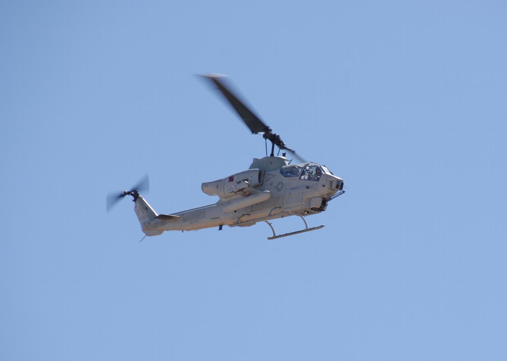
Obviously, they were enjoying the view, whether or not
we were really on their flight path.
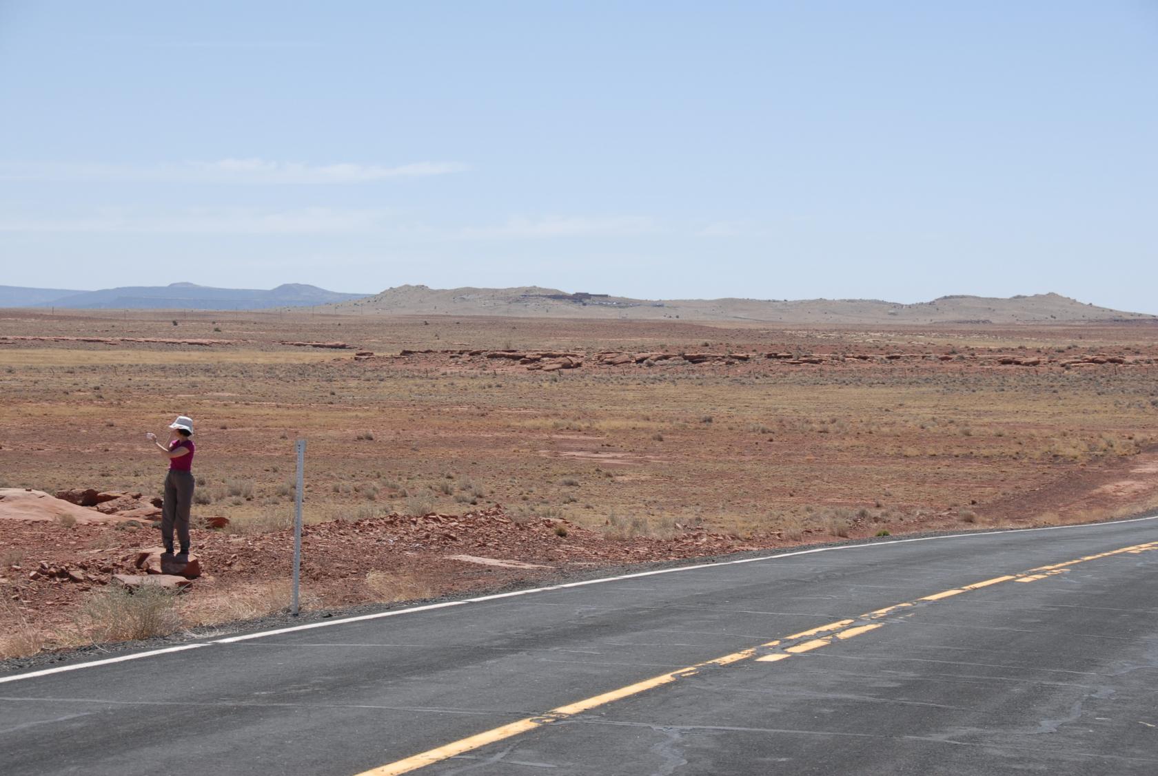
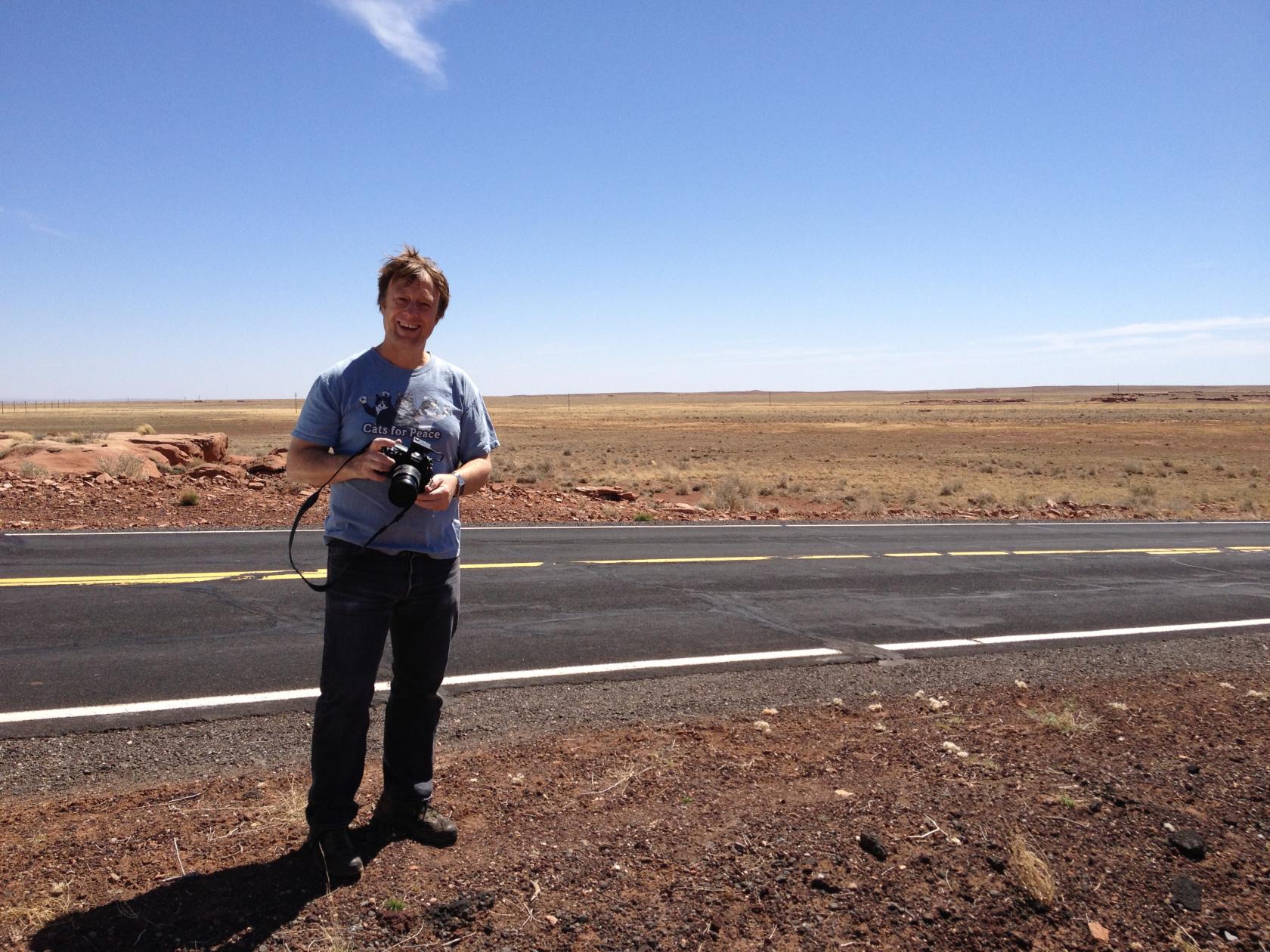
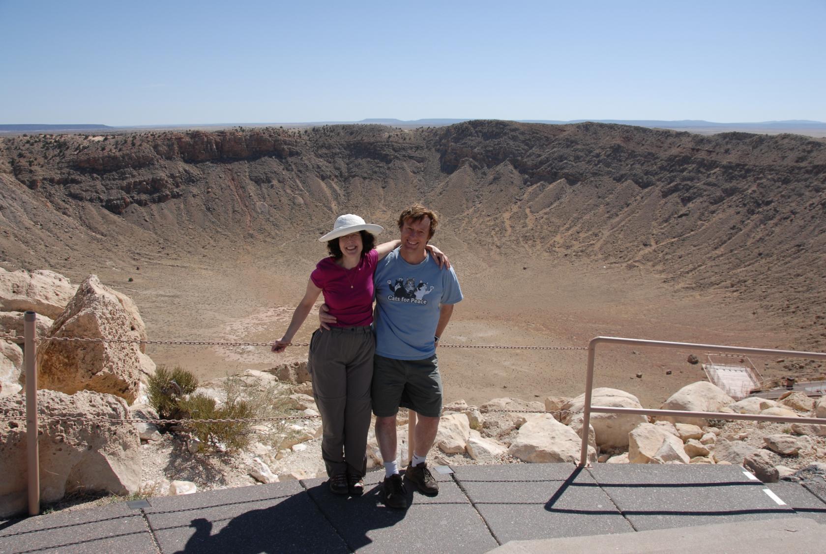
 DSC_9265.JPG
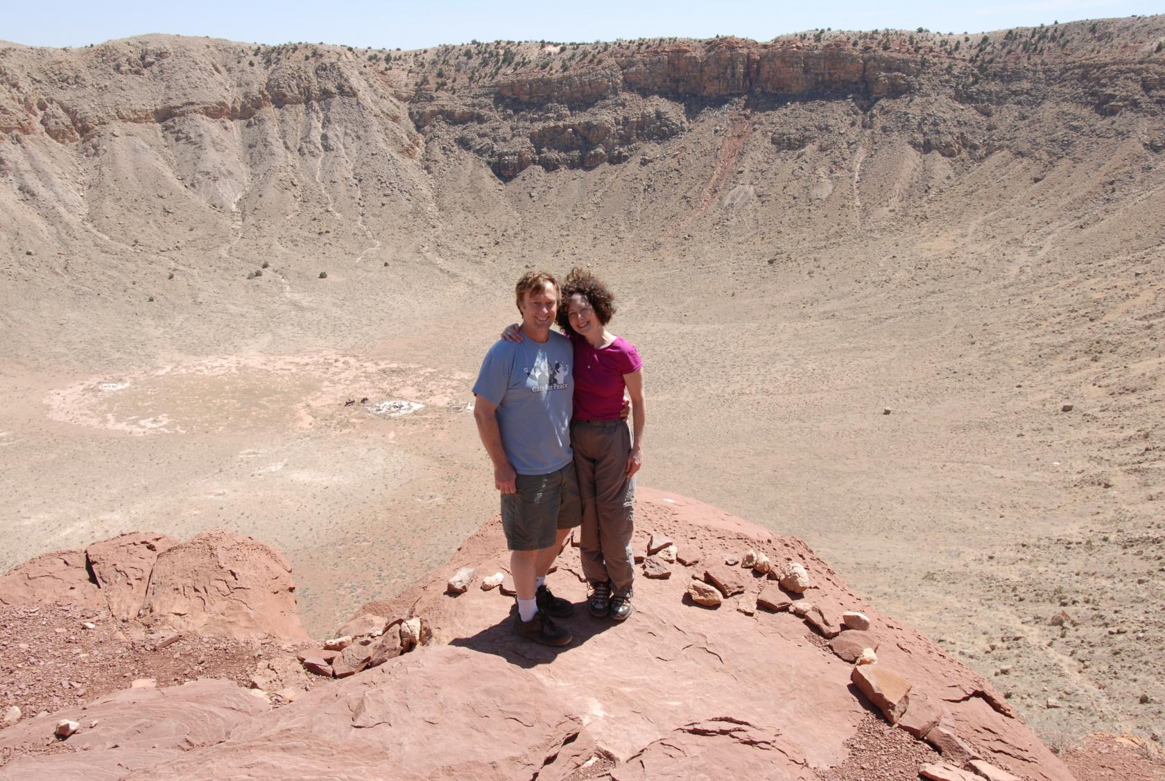
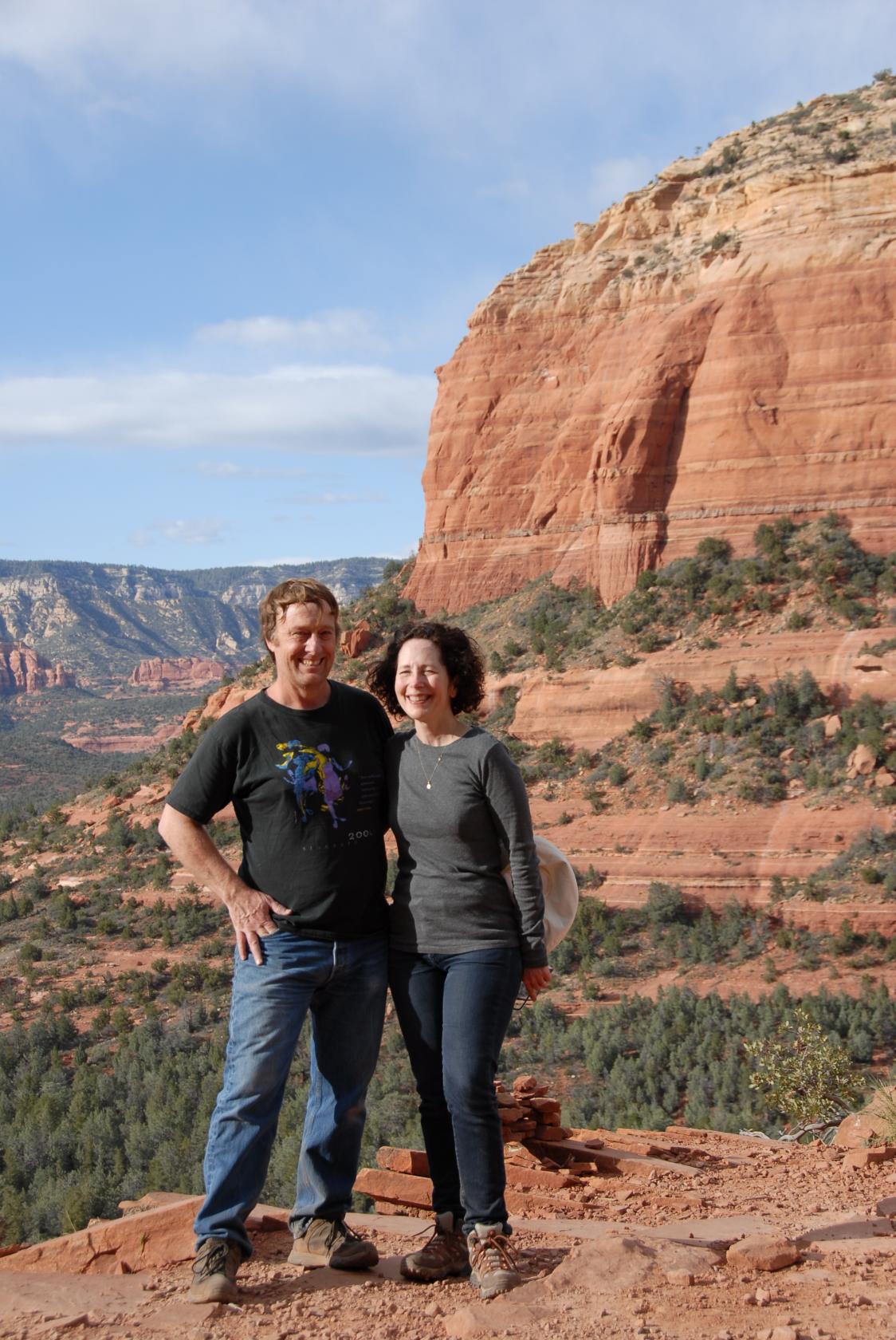
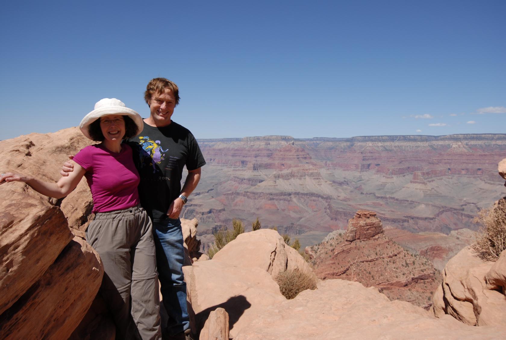
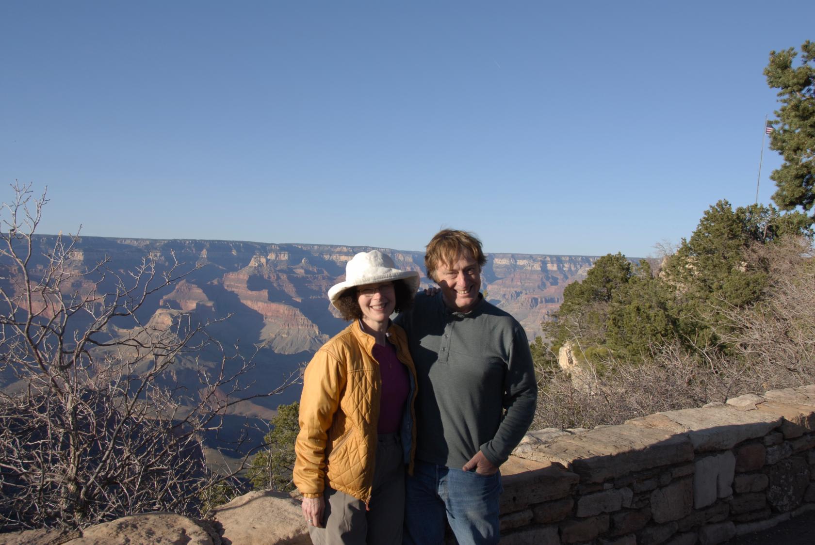
We asked a fellow straggler to take our photo on the
rim.
 DSC_9261.JPG
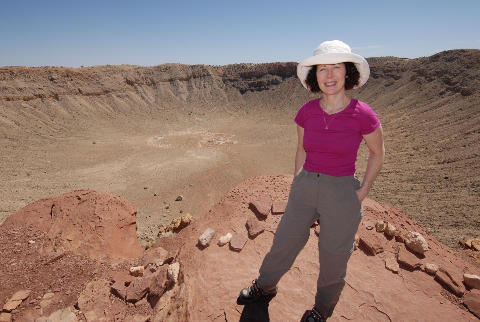
Eliz has been working on a series related to the crater,
so this was kind of a field trip.
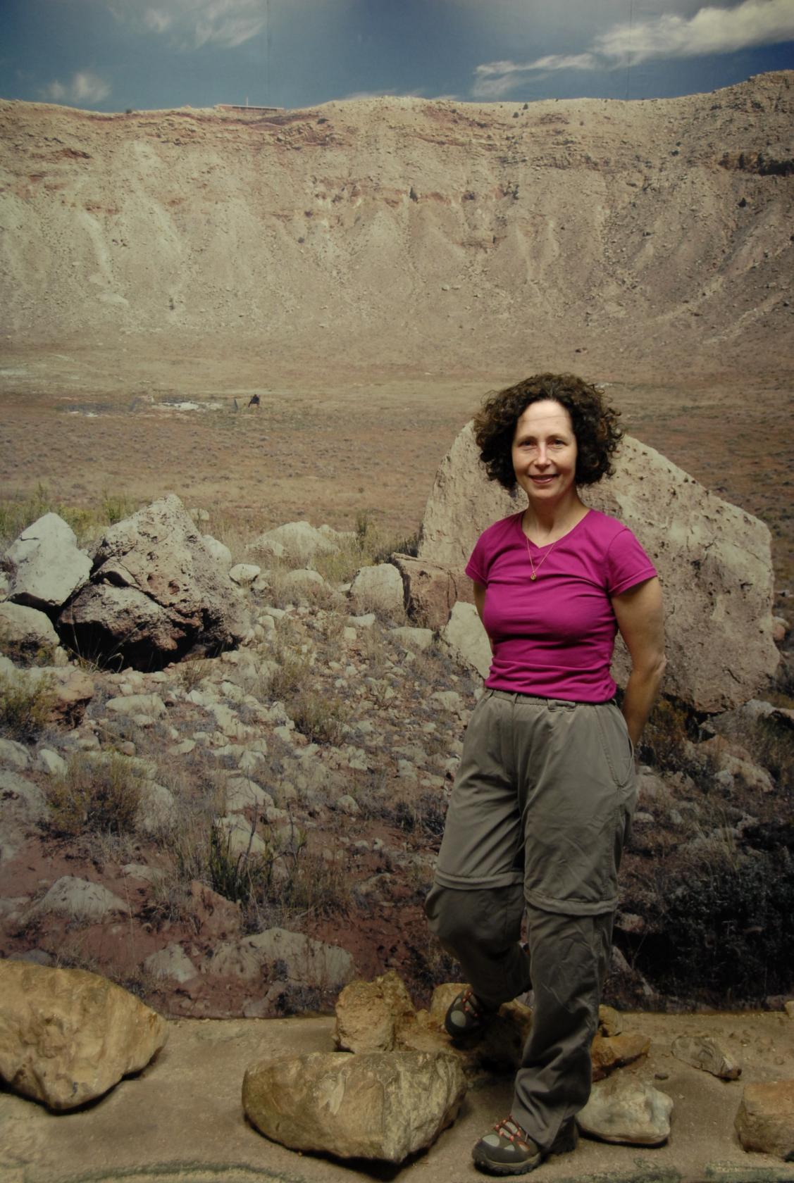 DSC_9279.JPG
They had a backdrop set up in the museum where you could
pretend to be at the bottom of the crater, since they
don’t allow visitors to go there anymore.
 DSC_9283.JPG
After our tour and visit to the museum, we went out
the other direction to look at the crater from the points
provided above and below the rim to the east.
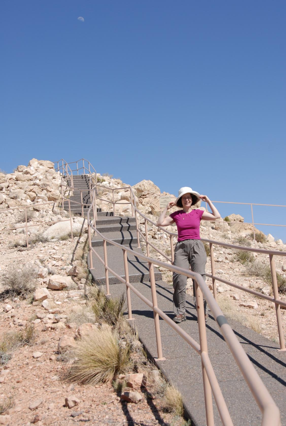
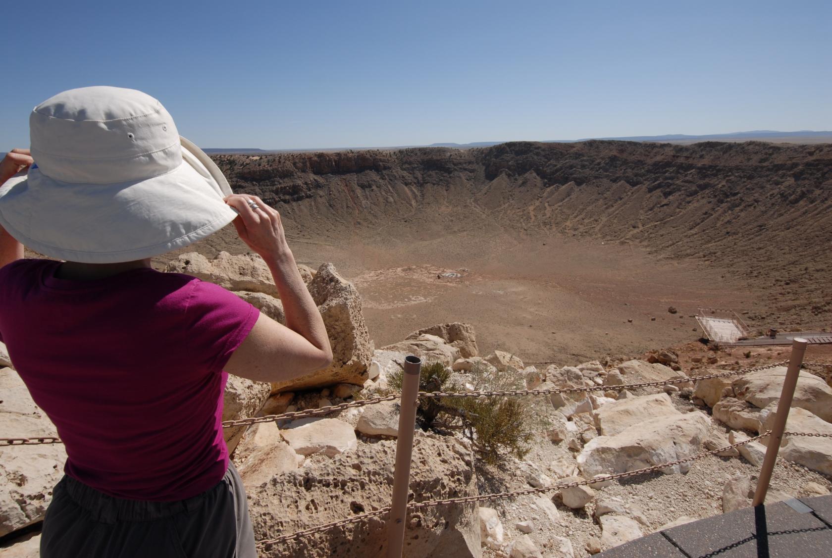 DSC_9296.JPG
It was very windy at the upper view point, though not
as windy as some days according to our guide. Eliz
had to hold onto her hat.
 IMG_0803.JPG
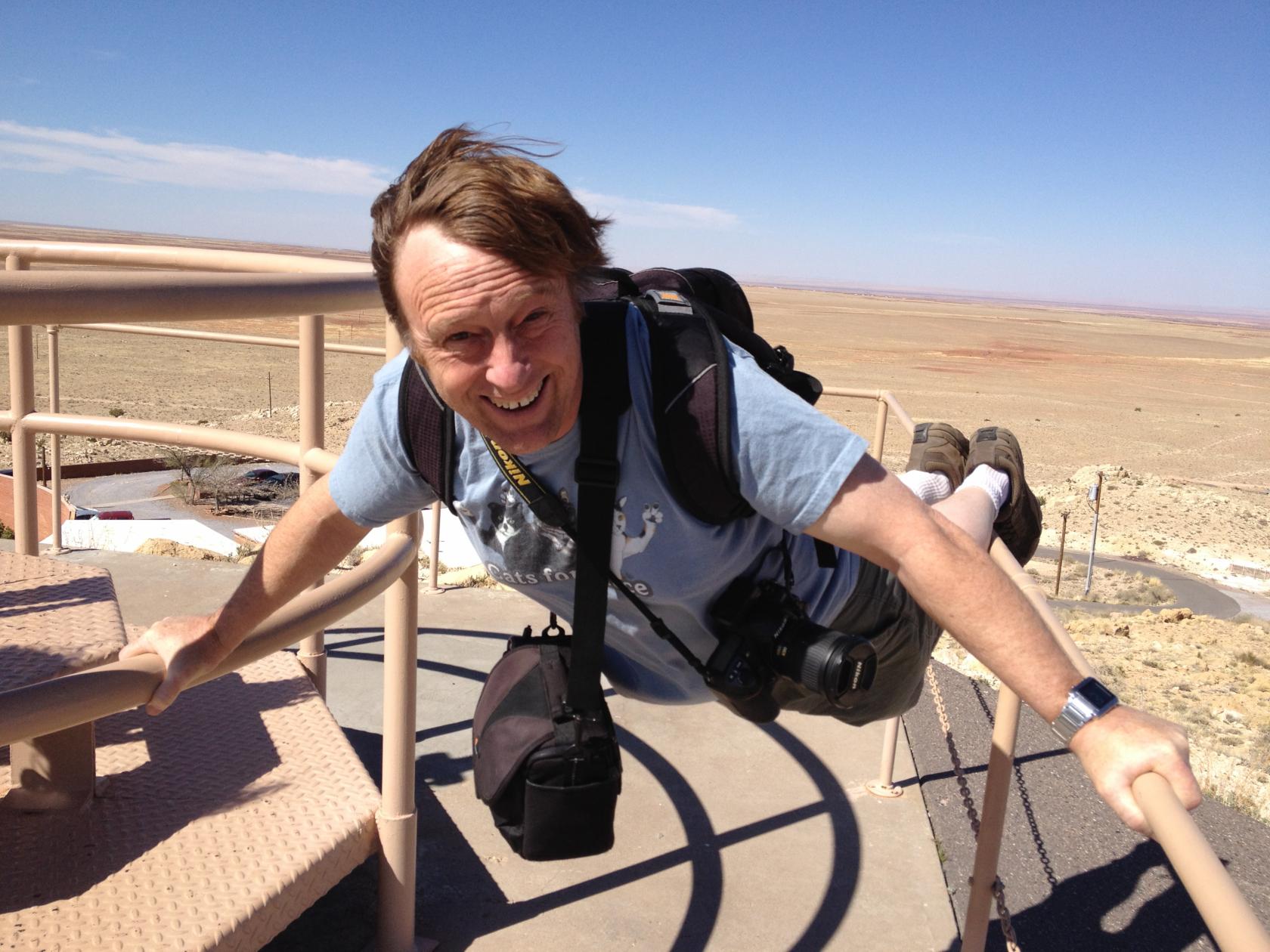
I had to hold onto the railing.
 MeteorCraterPano5.jpg
A panorama from the upper view point.
 DSC_9288.JPG
Another passerby took another photo of us (#2 in the
series).
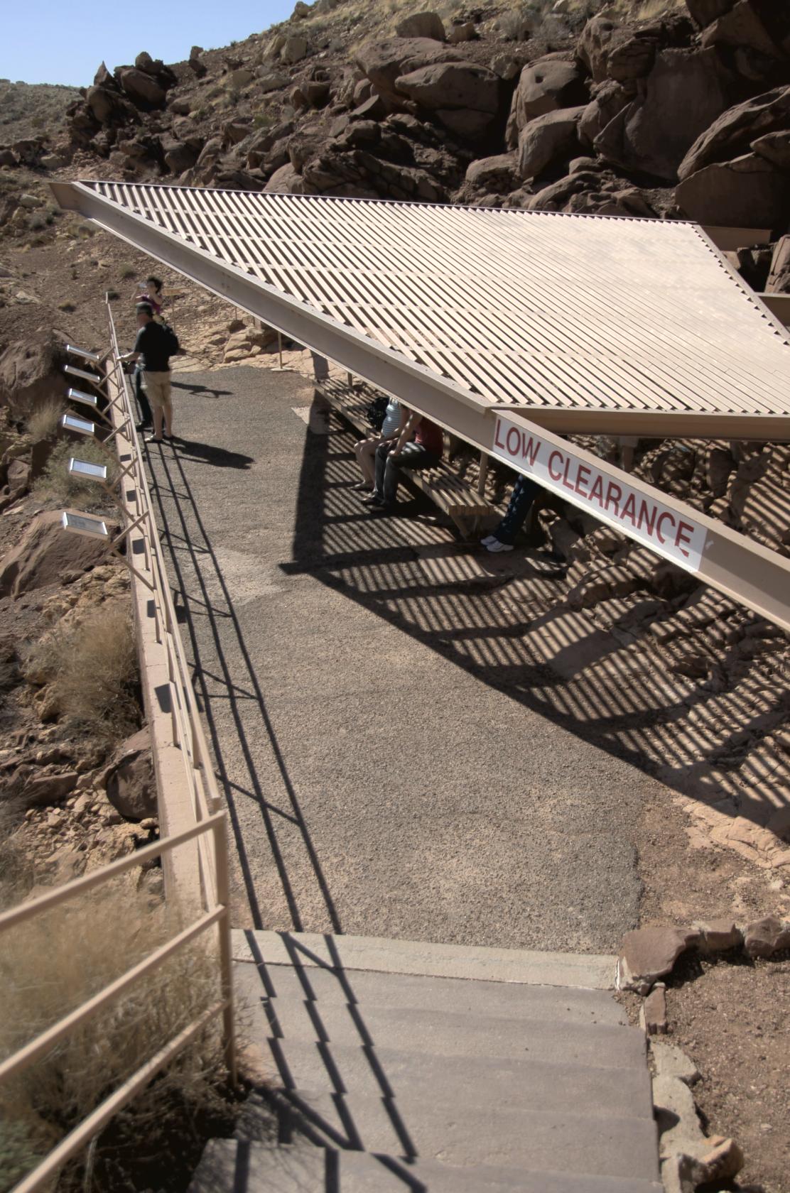 MeteorOverlook1.jpg
The lower rim view point was more comfortable, with
a nice shade structure that was actually constructed
as a barrier to falling rocks.
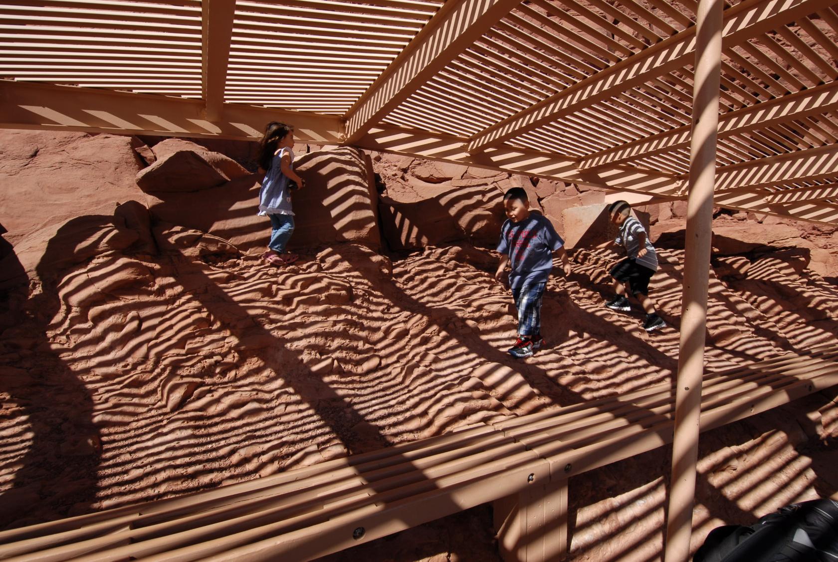 DSC_9317.JPG
Some kids were enjoying climbing around behind the viewing
benches.
 DSC_9345.JPG
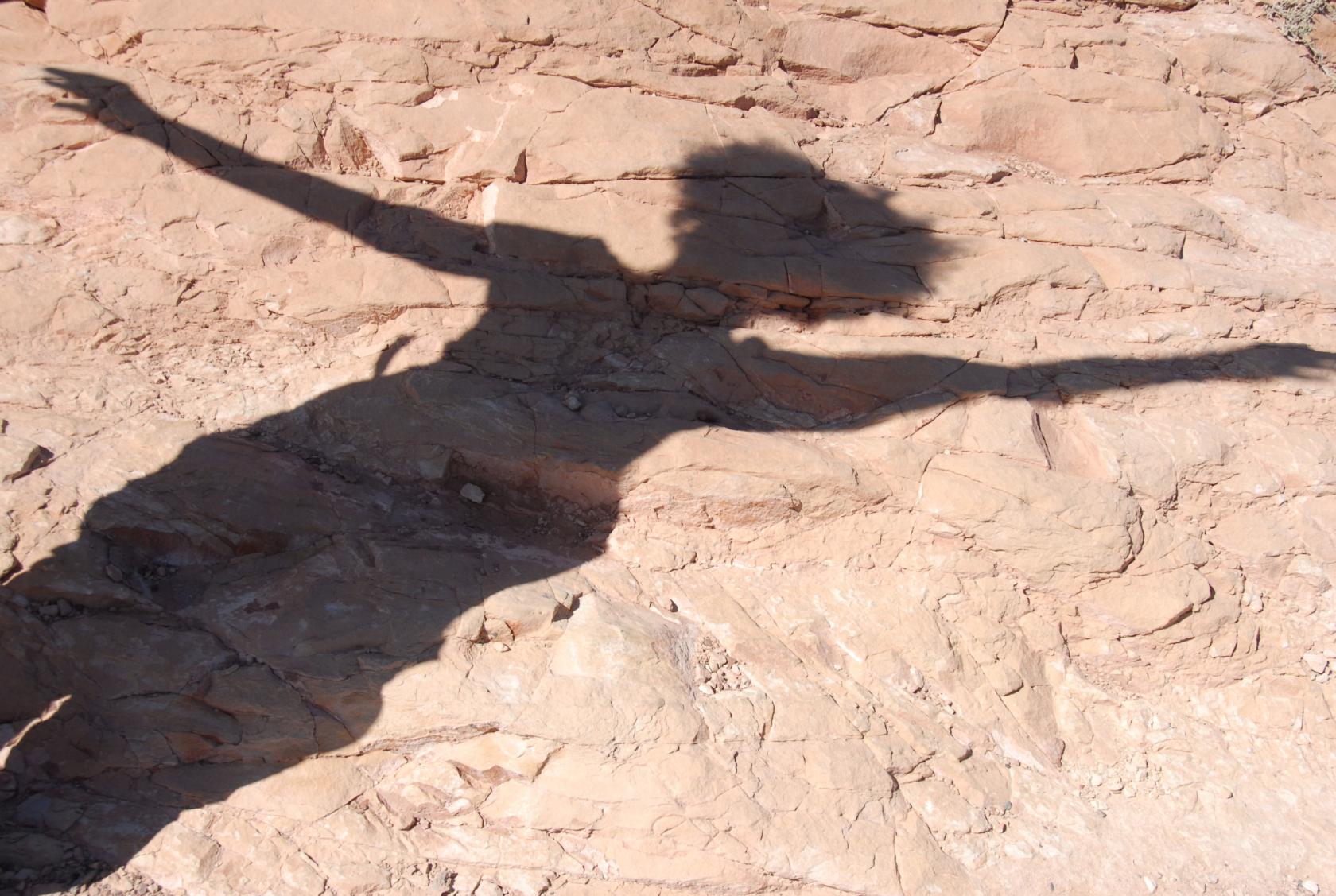
Shadow Painting
 IMG_0797.JPG
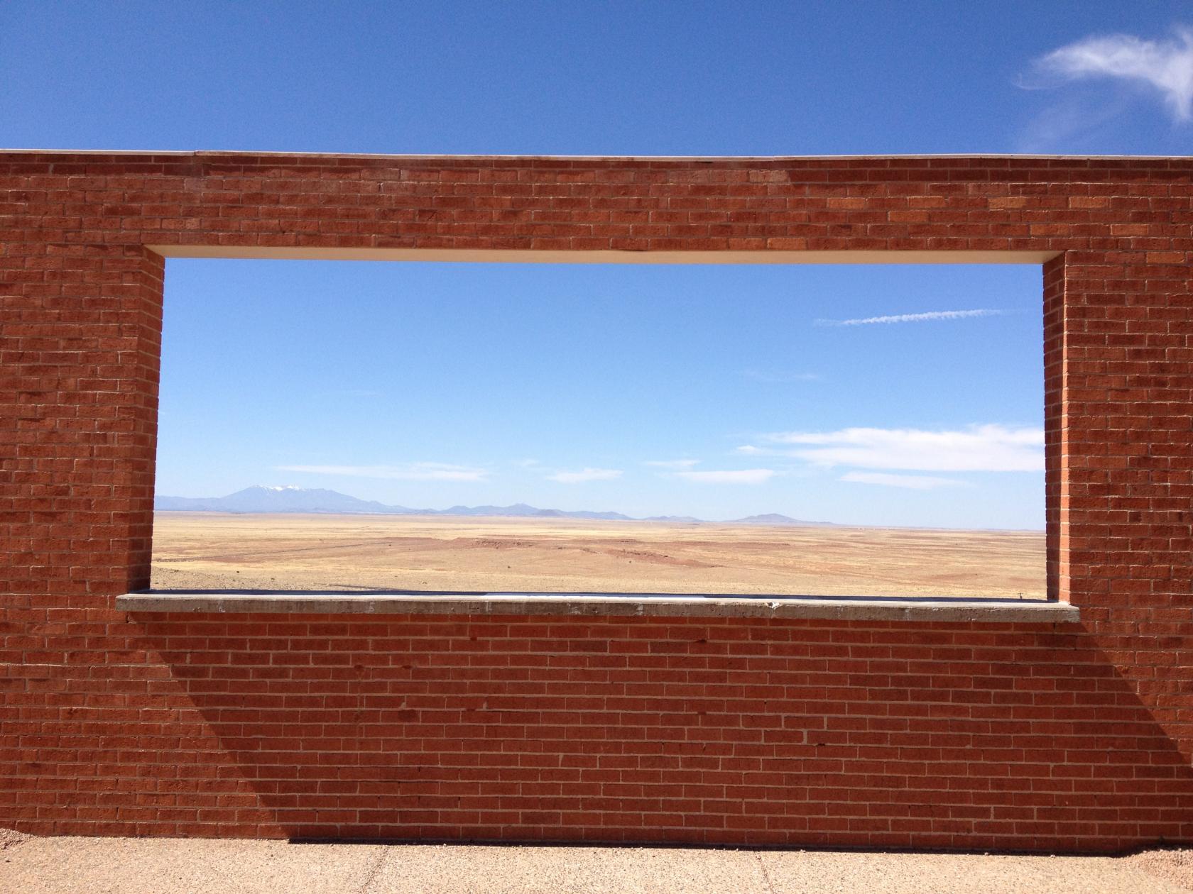
The outer courtyard had a nice, framed view of the northern
landscape.
 IMG_0812.JPG
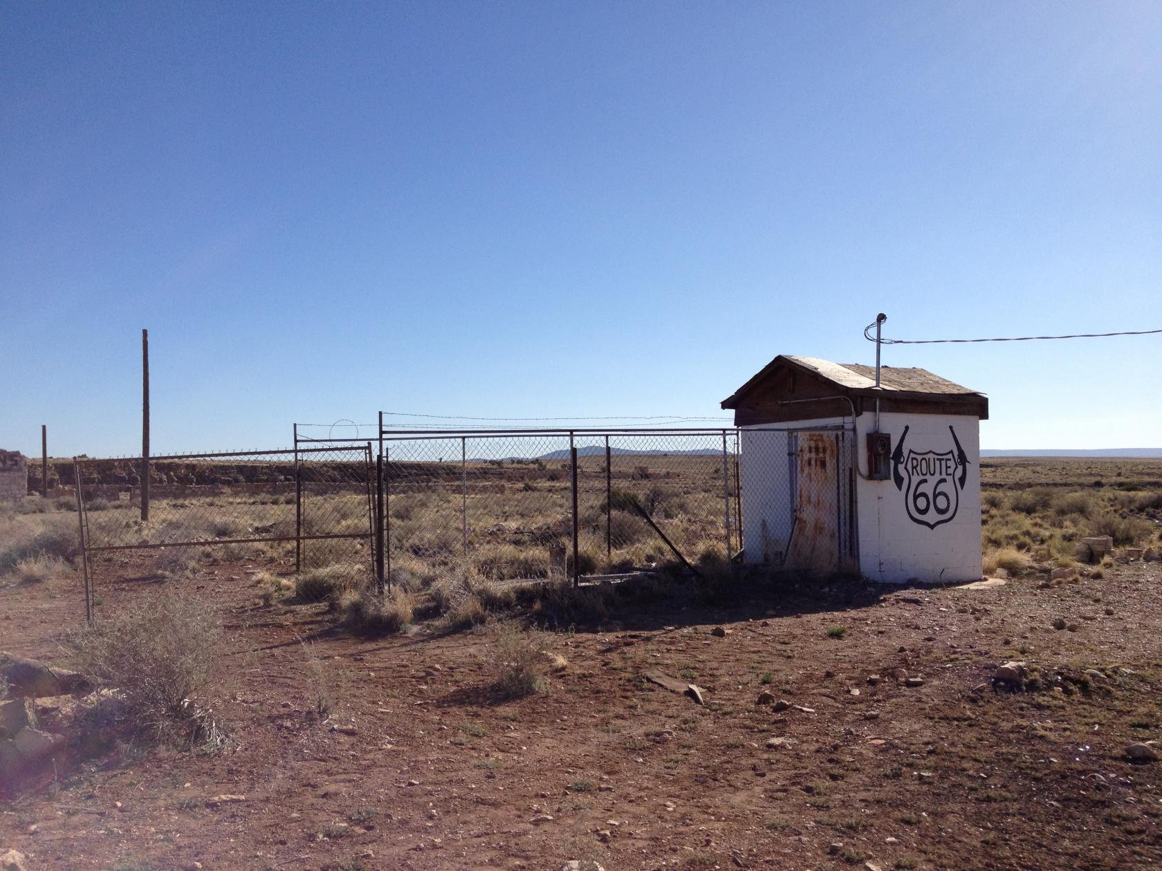
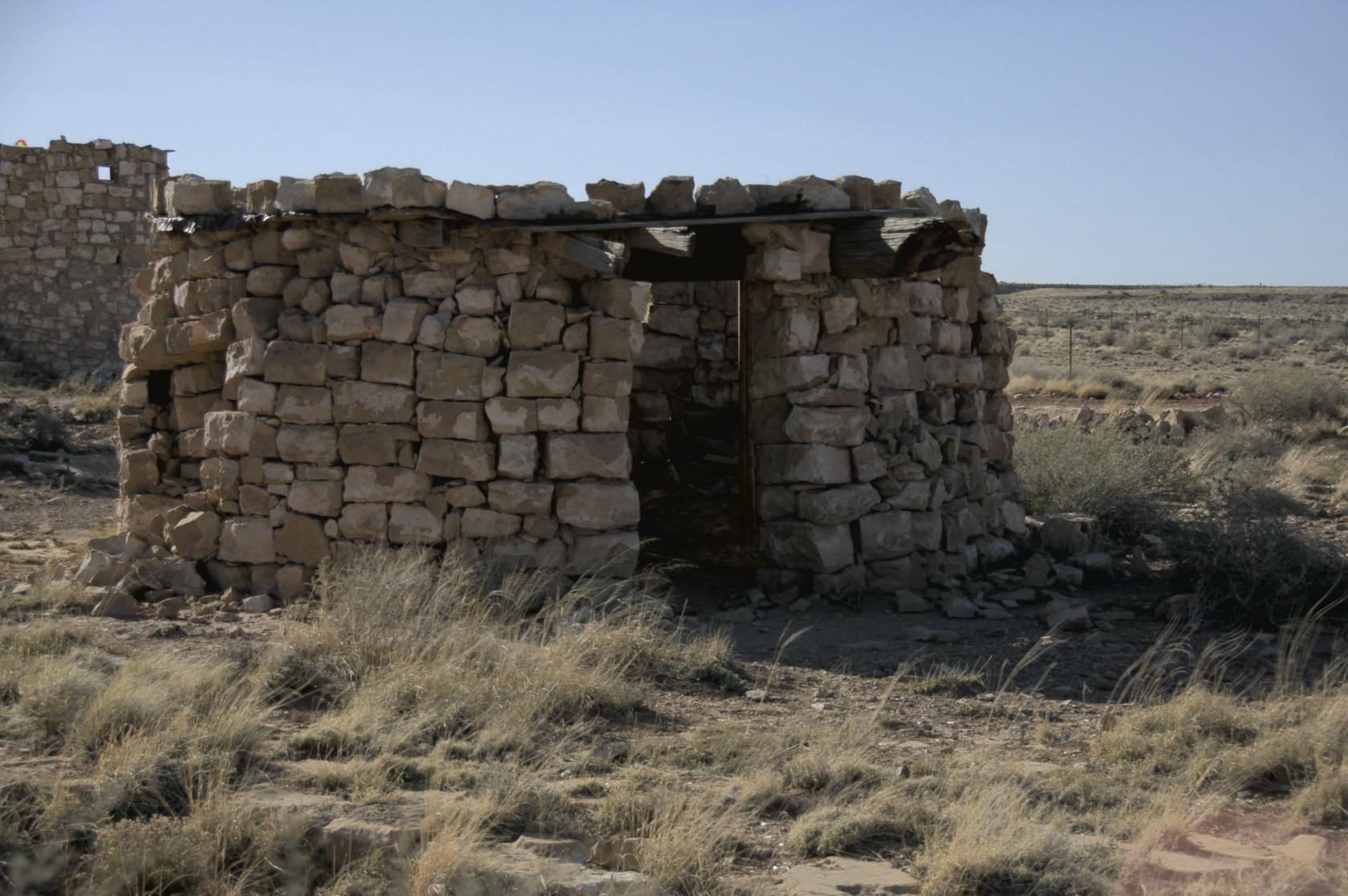
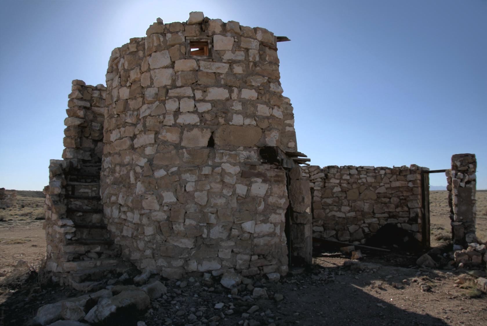
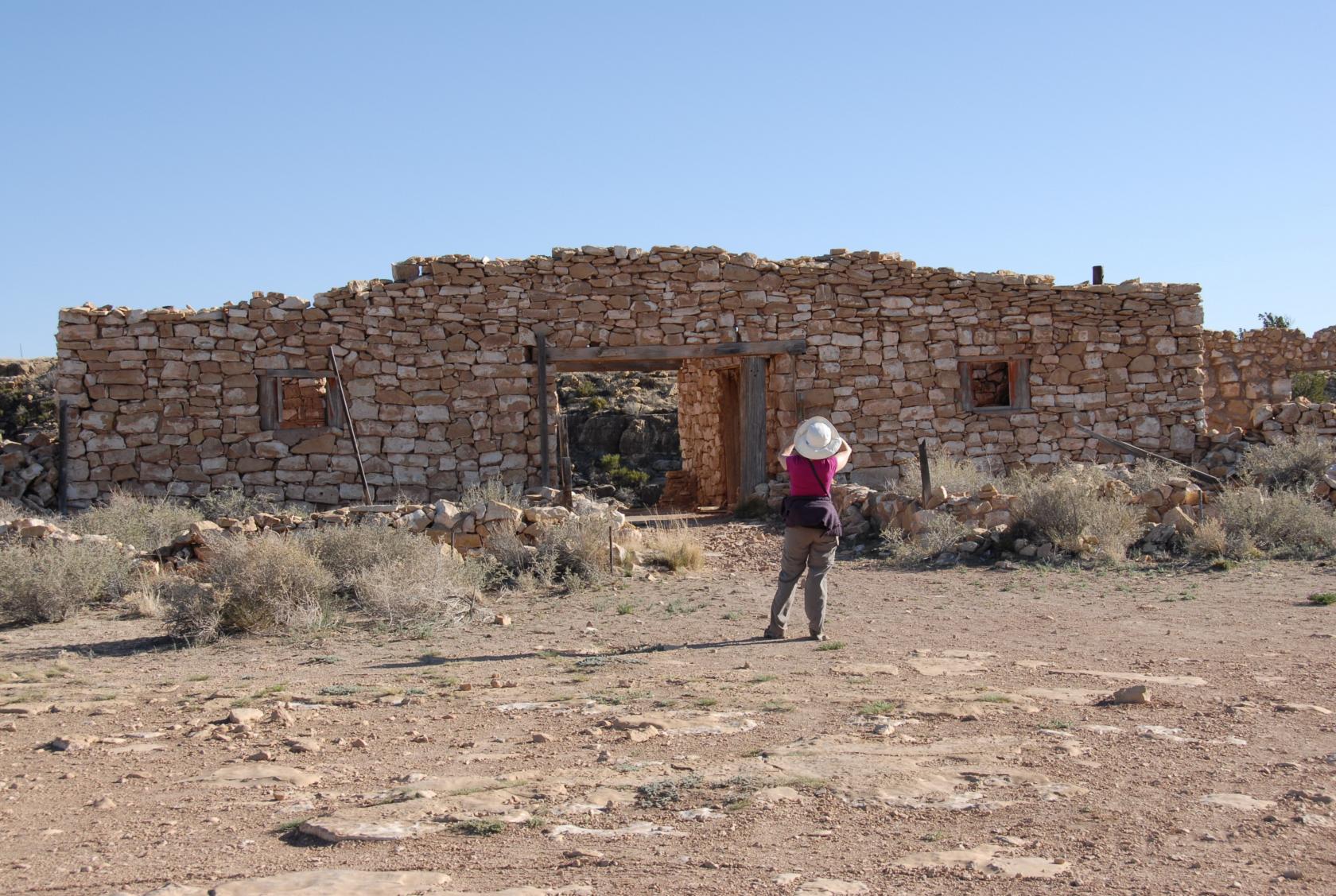
On the way back from Meteor Crater, we stopped in the
ghost town of Two Guns, formerly along Route 66 (now
I–89 on this section of it).
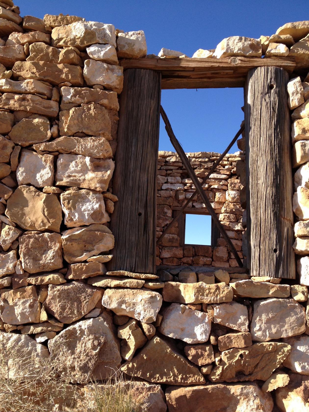
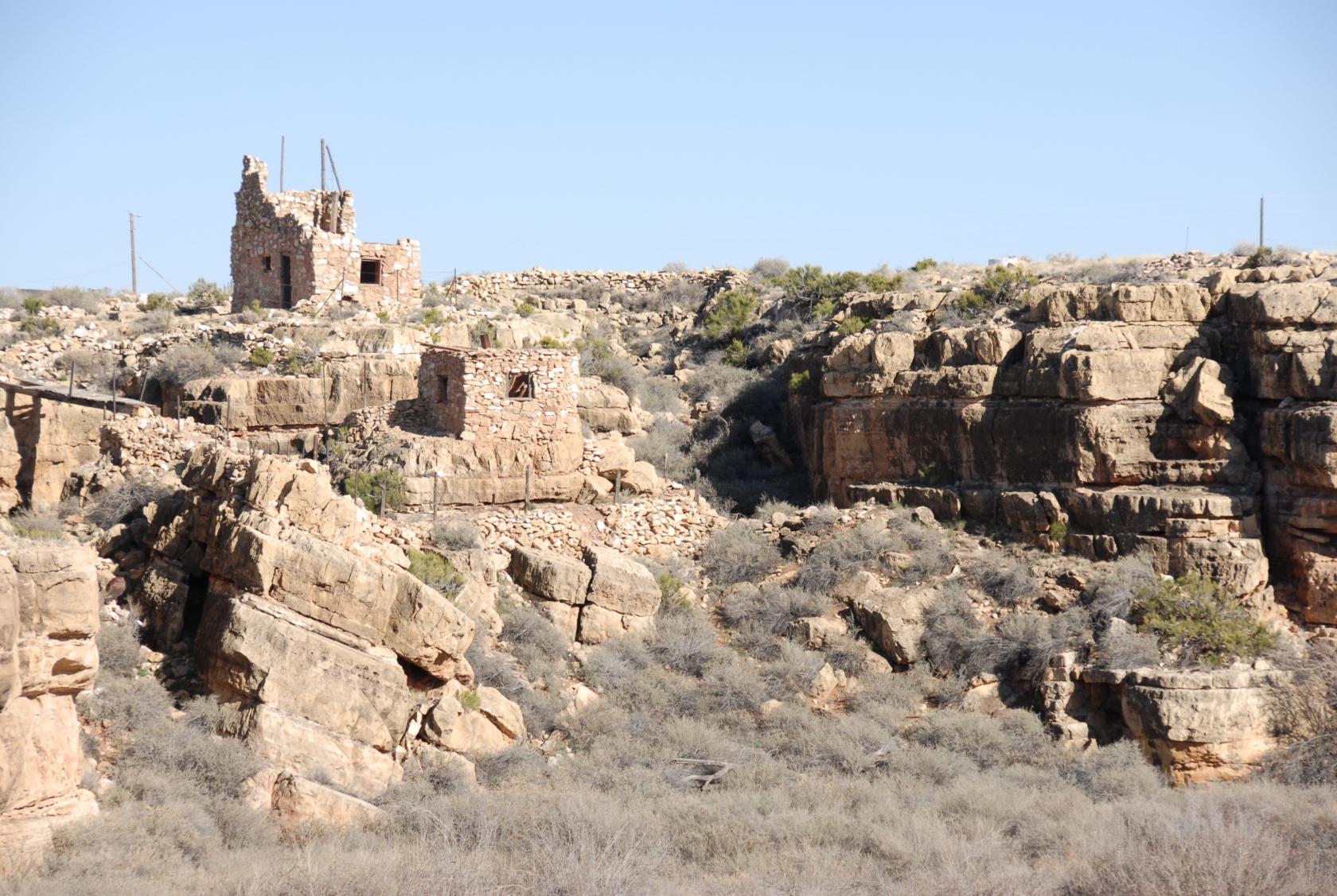 DSC_9355.JPG
There were a fair number of these stone structures,
which dated from the latter half of the 1800’s.
 DSC_9362.JPG
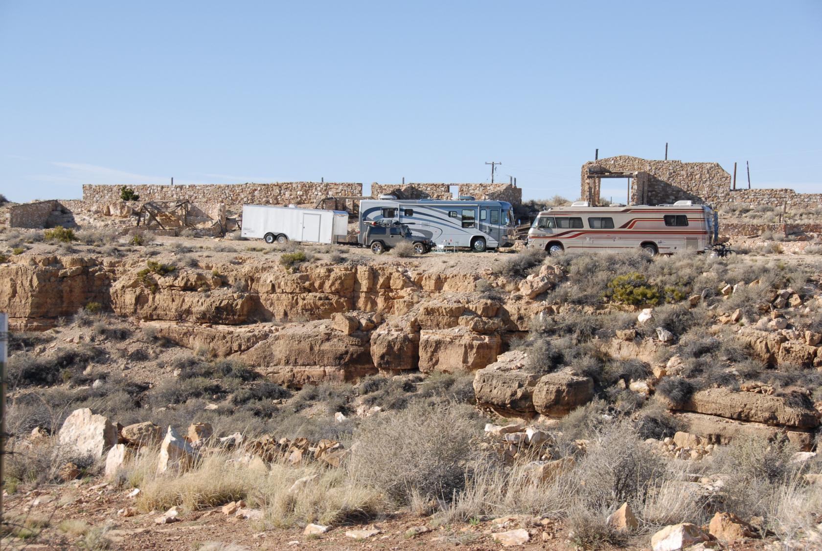
Still serving as a hideout for outlaws, these RV’s
were camping illegally, hidden from view of the highway.
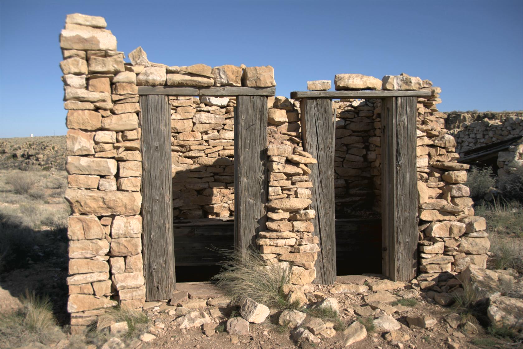 TwoGunsOuthouse1.jpg
There was even an old outhouse structure, with a row
of 4 or 5 seats unoccupied.
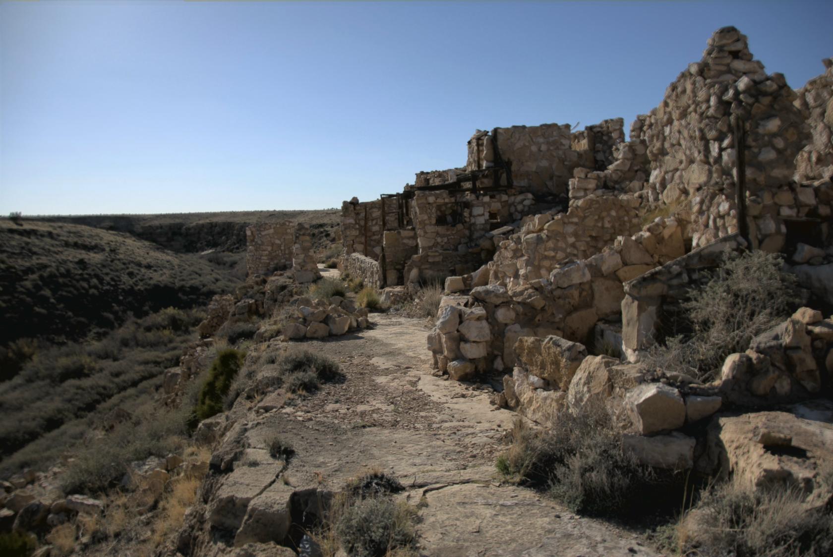 TwoGunsOverlook1.jpg
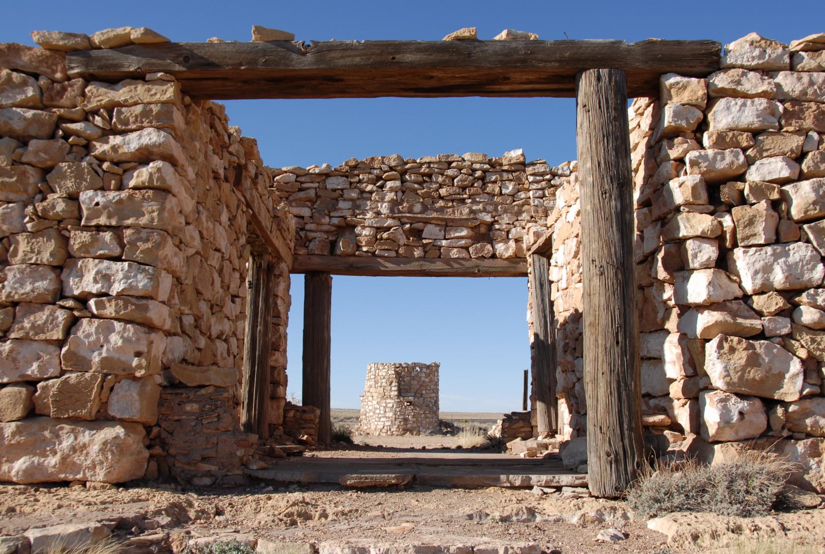
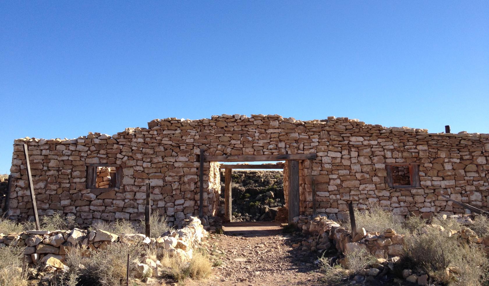
Here is a row of ruined buildings along the rim of Canyon
Diablo, whose waters were taken over for irrigation
many decades ago.
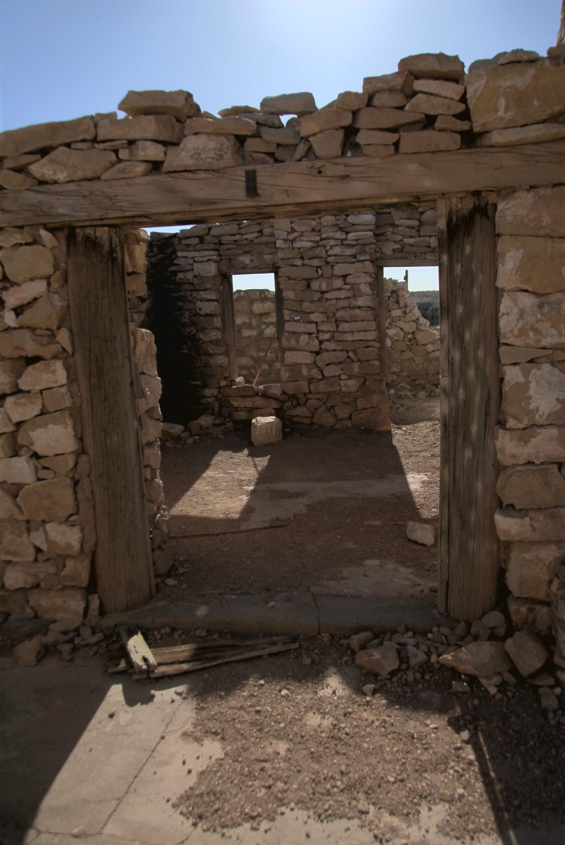 TwoGunsStruct2.jpg
The windows and walls survived, but the roofs were all
replaced by sky.
 IMG_0841.JPG
The iPhone actually takes pretty nice pictures.
 DSC_9407.JPG
Looking through to a round "hogan," a traditional
home of the Navajo (Dinea) people.
 TwoGunsStruct1.jpg
Another view of the hogan.
 TwoGunsStruct4.jpg
A two–story hogan.
 DSC_9420.JPG
Me taking a picture of Eliz taking a picture of...
 IMG_0832.JPG
...this.
 DSC_9485.JPG
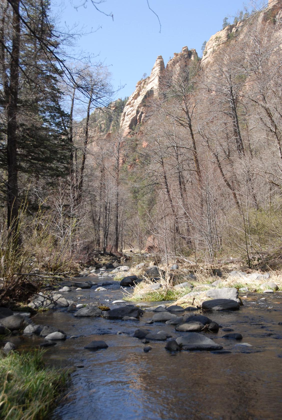
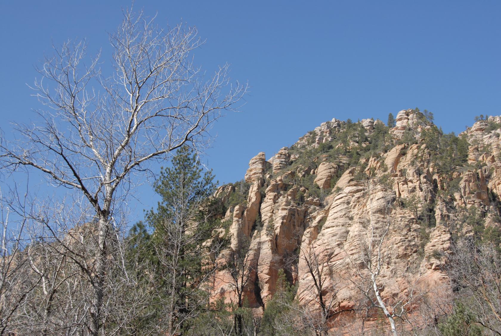
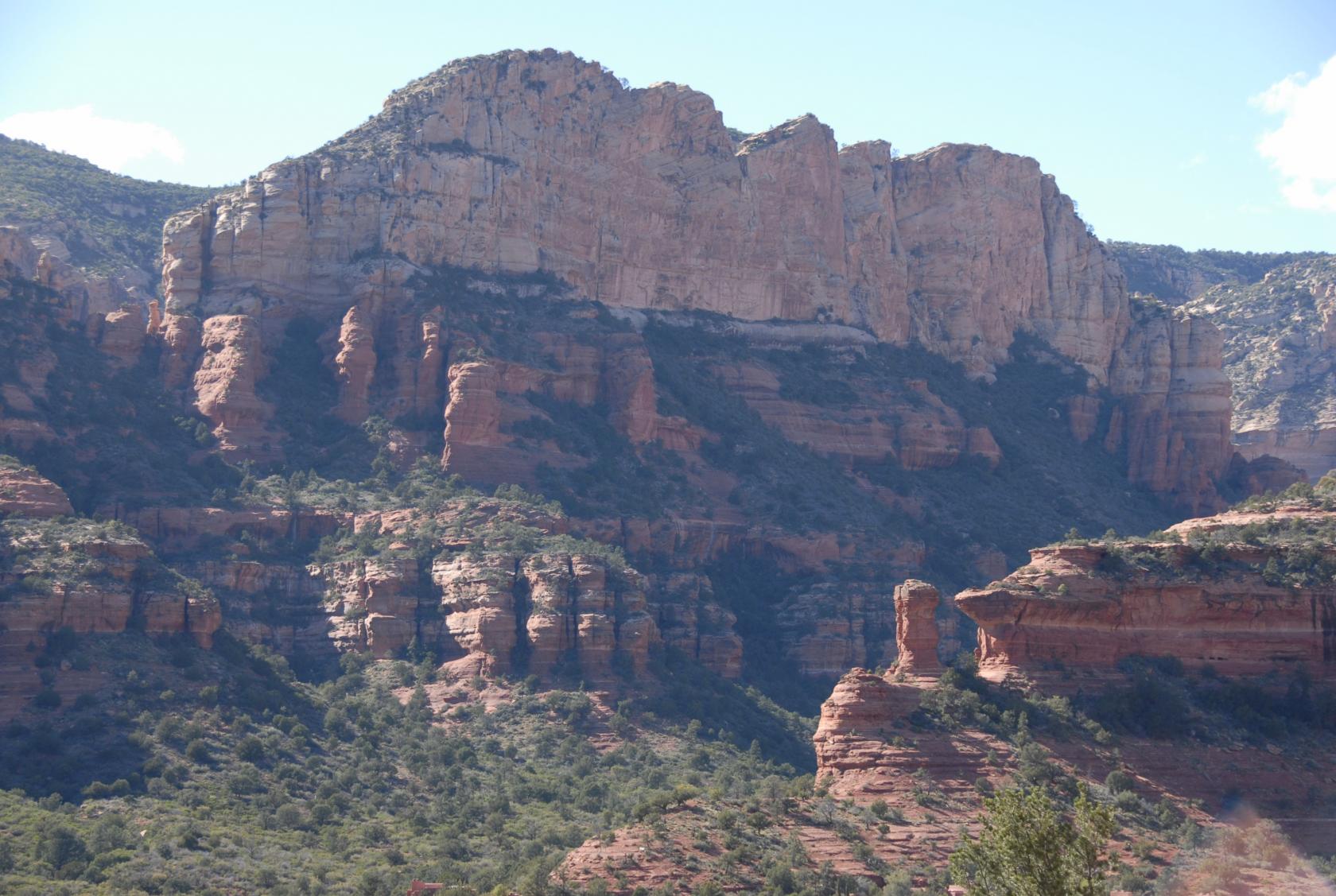
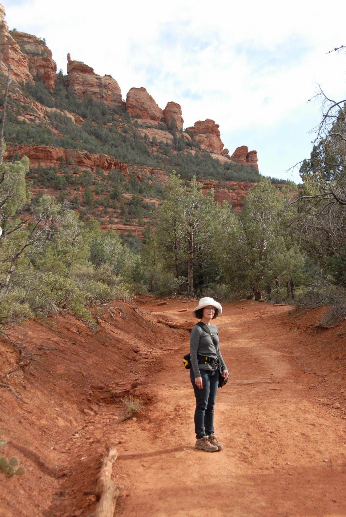
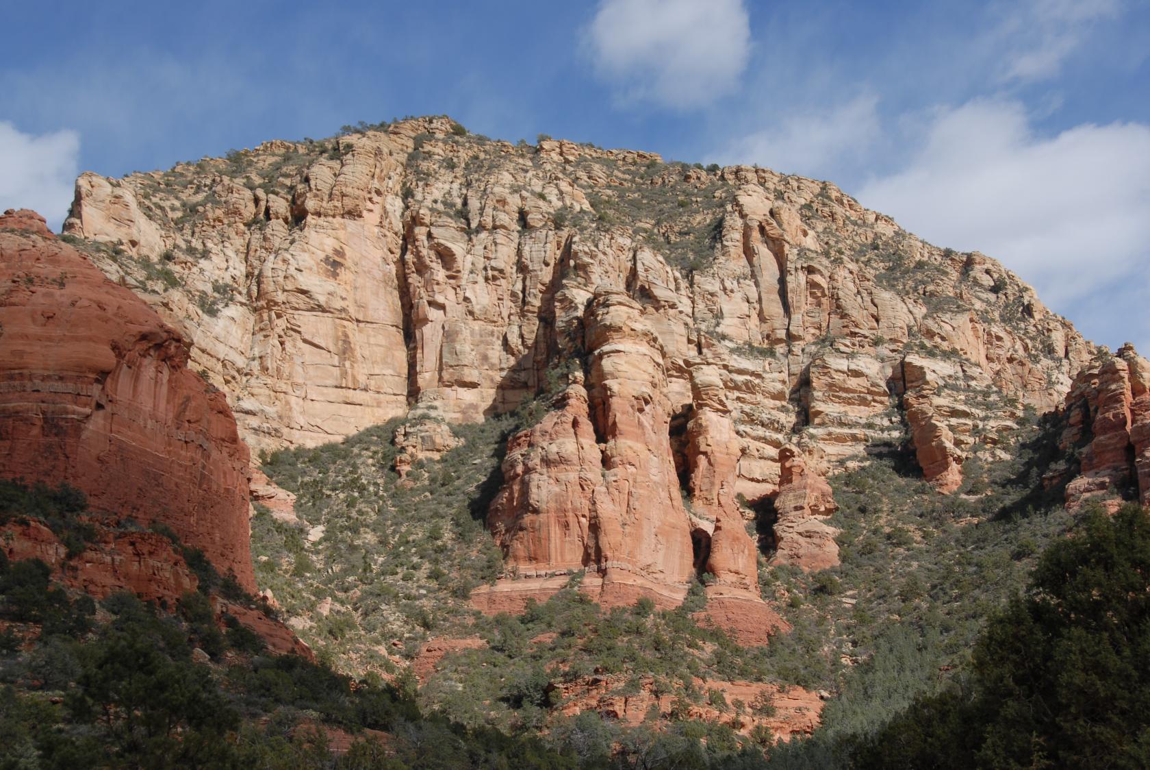
Our second day, we drove south to Sedona, checking out
Oak Creek Canyon on the way.
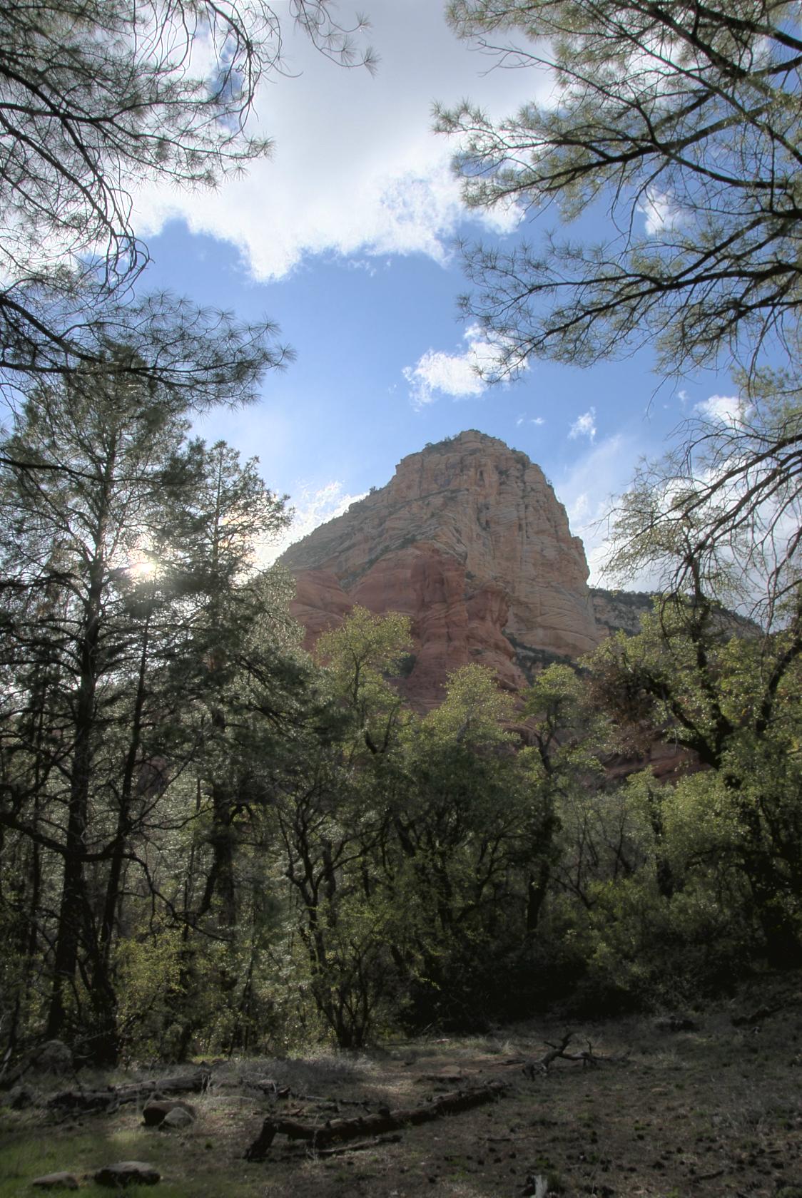
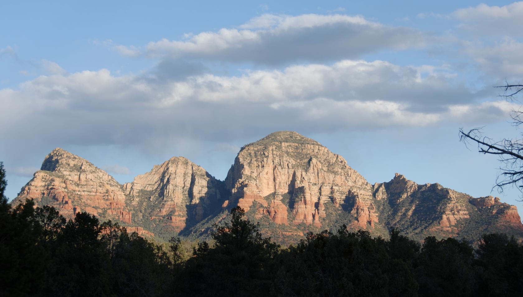
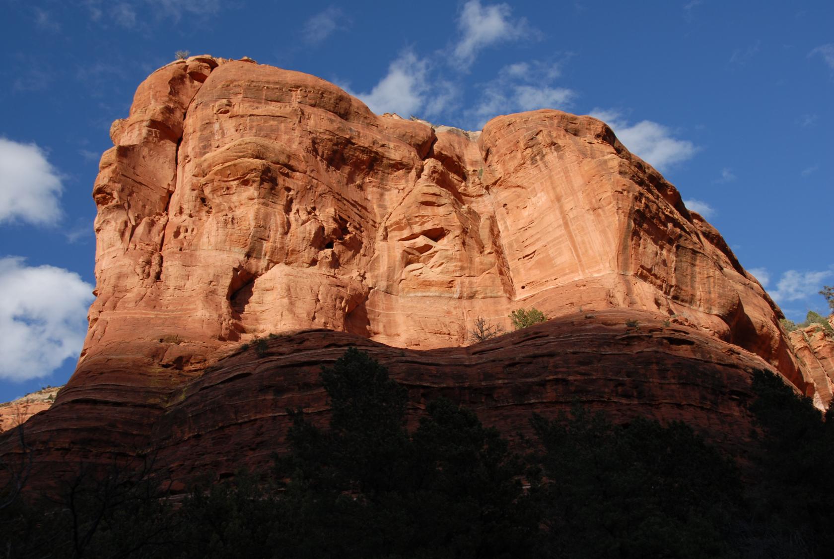
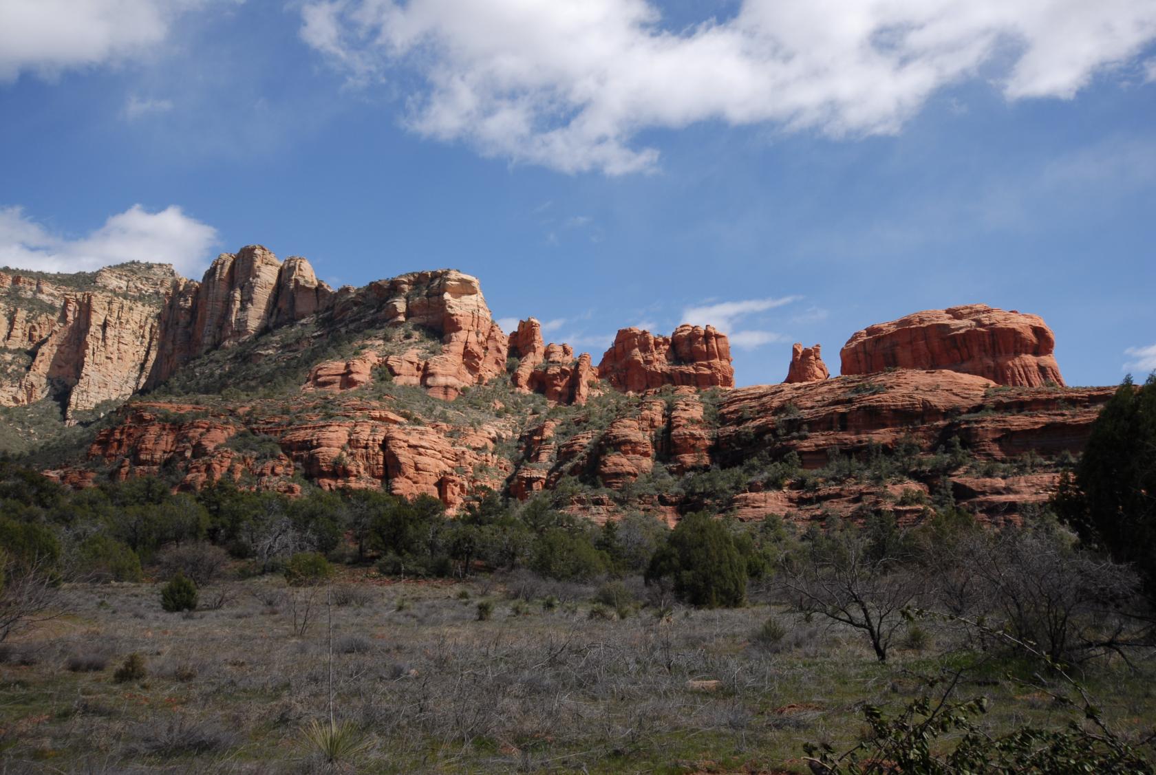
 DSC_9474.JPG
Sedona must be Spanish for "Pretty Rocks."
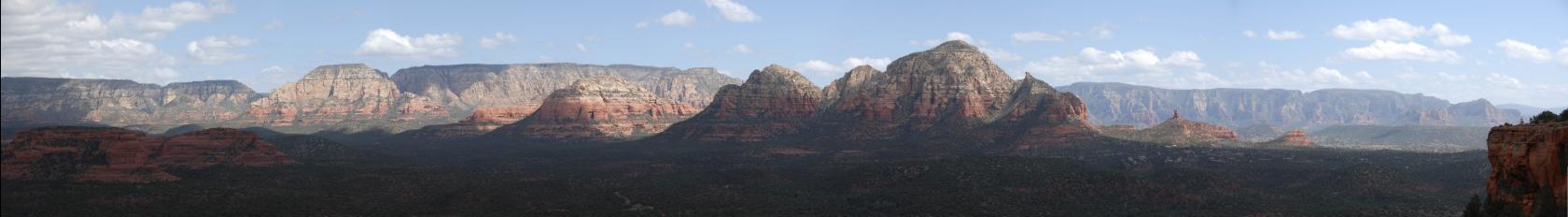
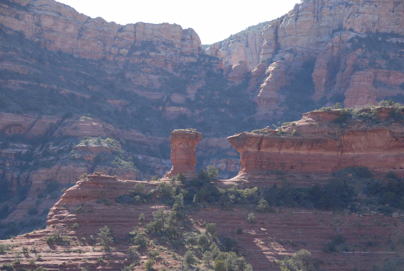
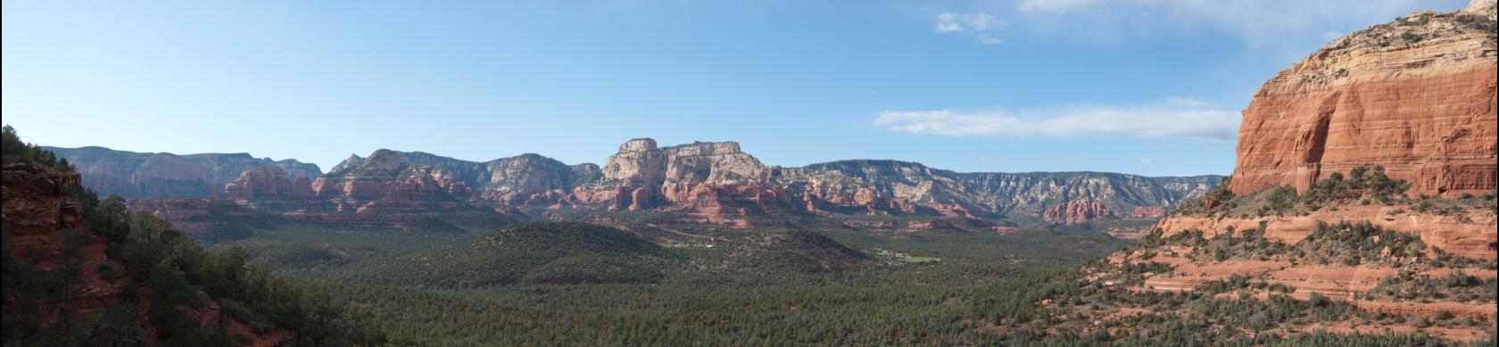
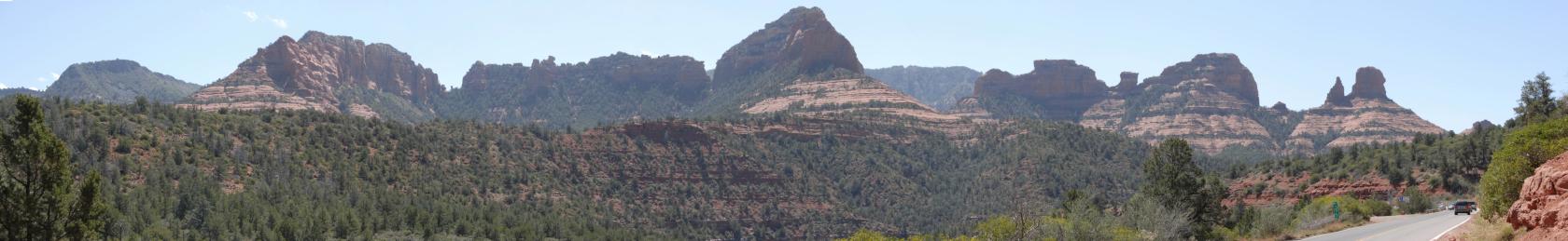 SedonaPano1.jpg
This is the view from I–89A.
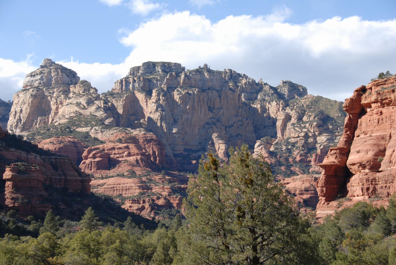
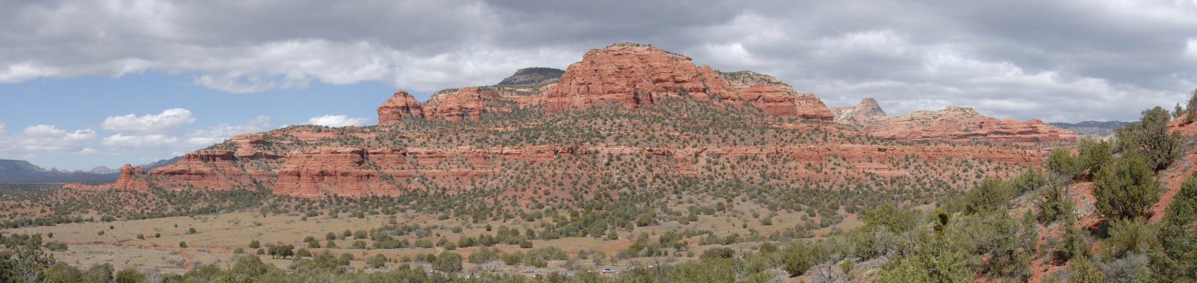 SedonaPano2.jpg
This was taken partway up Doe Mountain, which is more
of a mesa, really.
 DSC_9517.JPG
On the trail up Doe Mtn.
 DSC_9524.JPG
We’re about 250 feet above the parking lot at
this point, maybe 3/4 to the top.
 DSC_9526.JPG
Eliz on the trail.
 DSC_9529.JPG
Me just off the trail.
 IMG_0882.JPG
Me way off the trail.
 DSC_9604.JPG
View from the mesa.
 SedonaPano6.jpg
Wider view from the mesa.
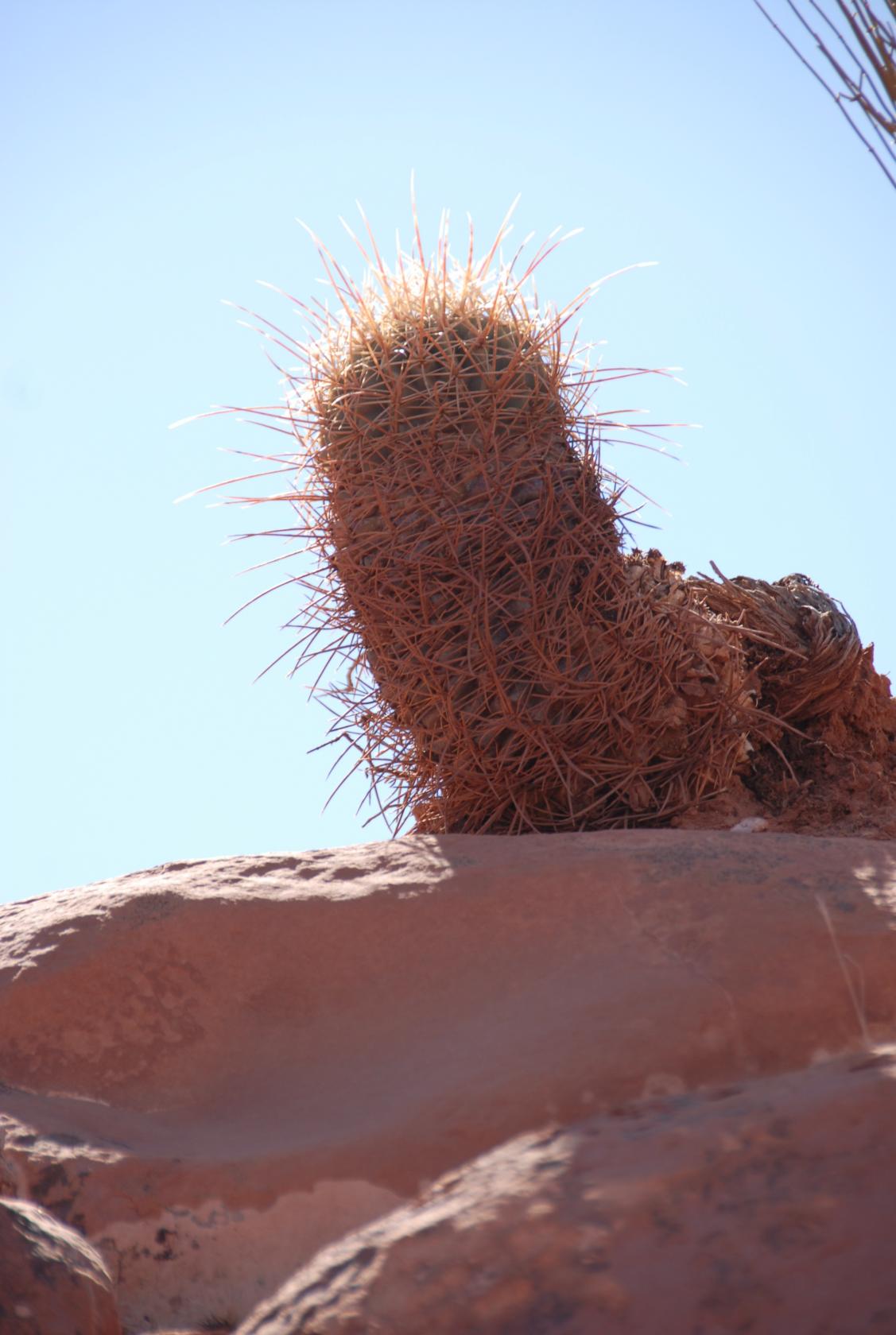
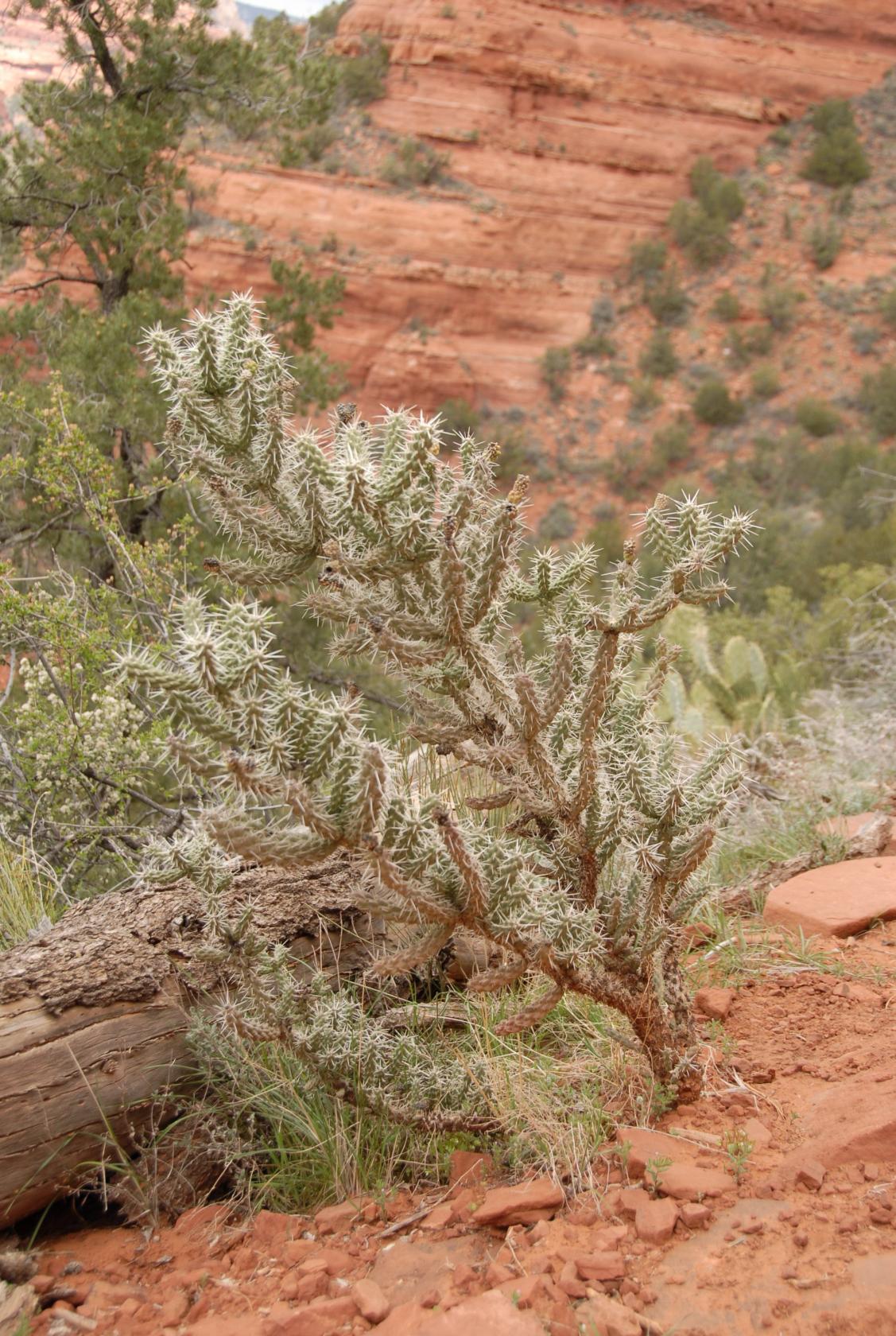 DSC_9611.JPG
I didn’t recognize this cactus, which was about
knee–high. I had many spines from prickly
pear in my knees as well.
 DSC_9620.JPG
Four Sisters
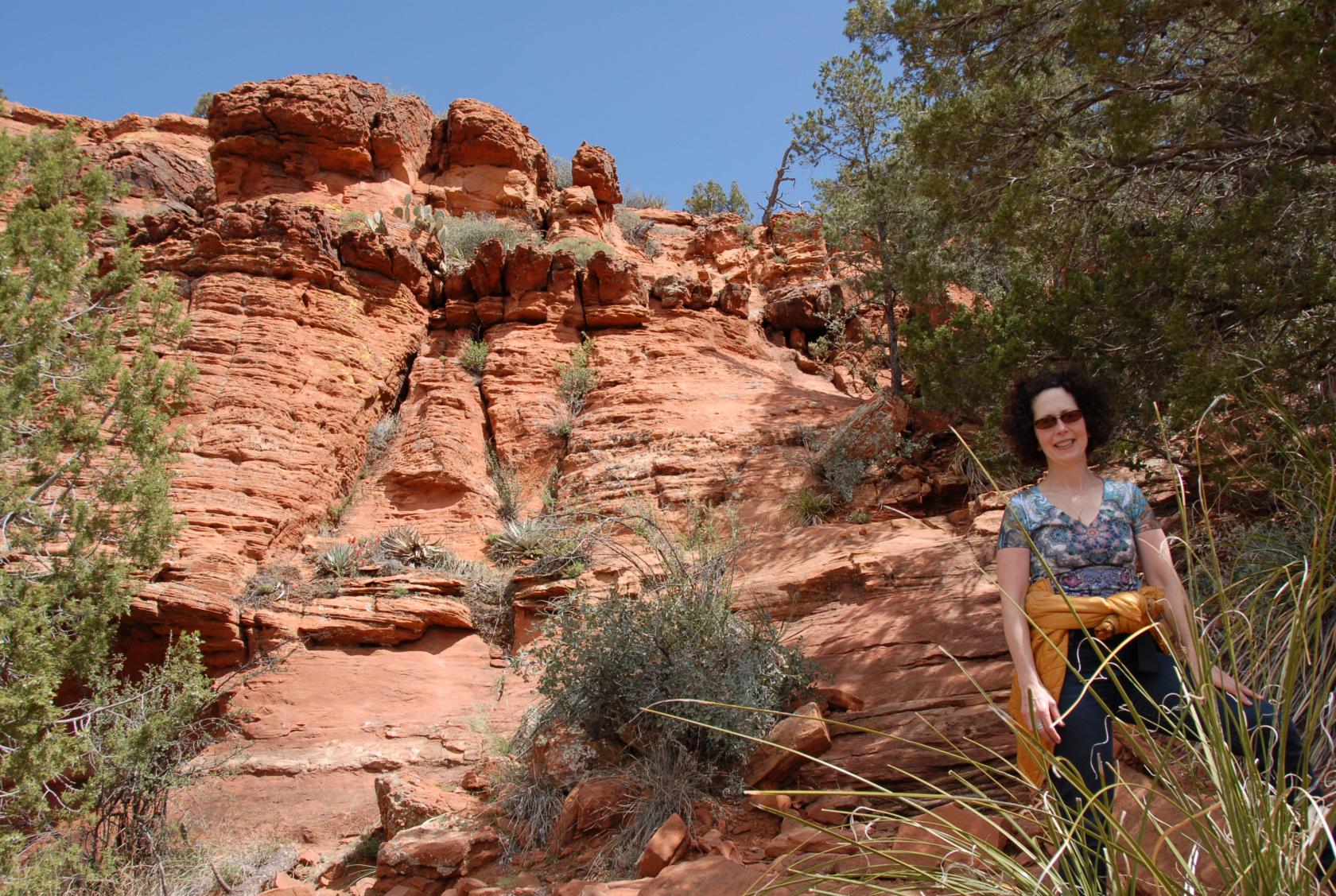
After Doe Mountain, we drove a few miles to Boynton
Valley, where we wandered into this formation. Eliz
said it looked like four sisters.
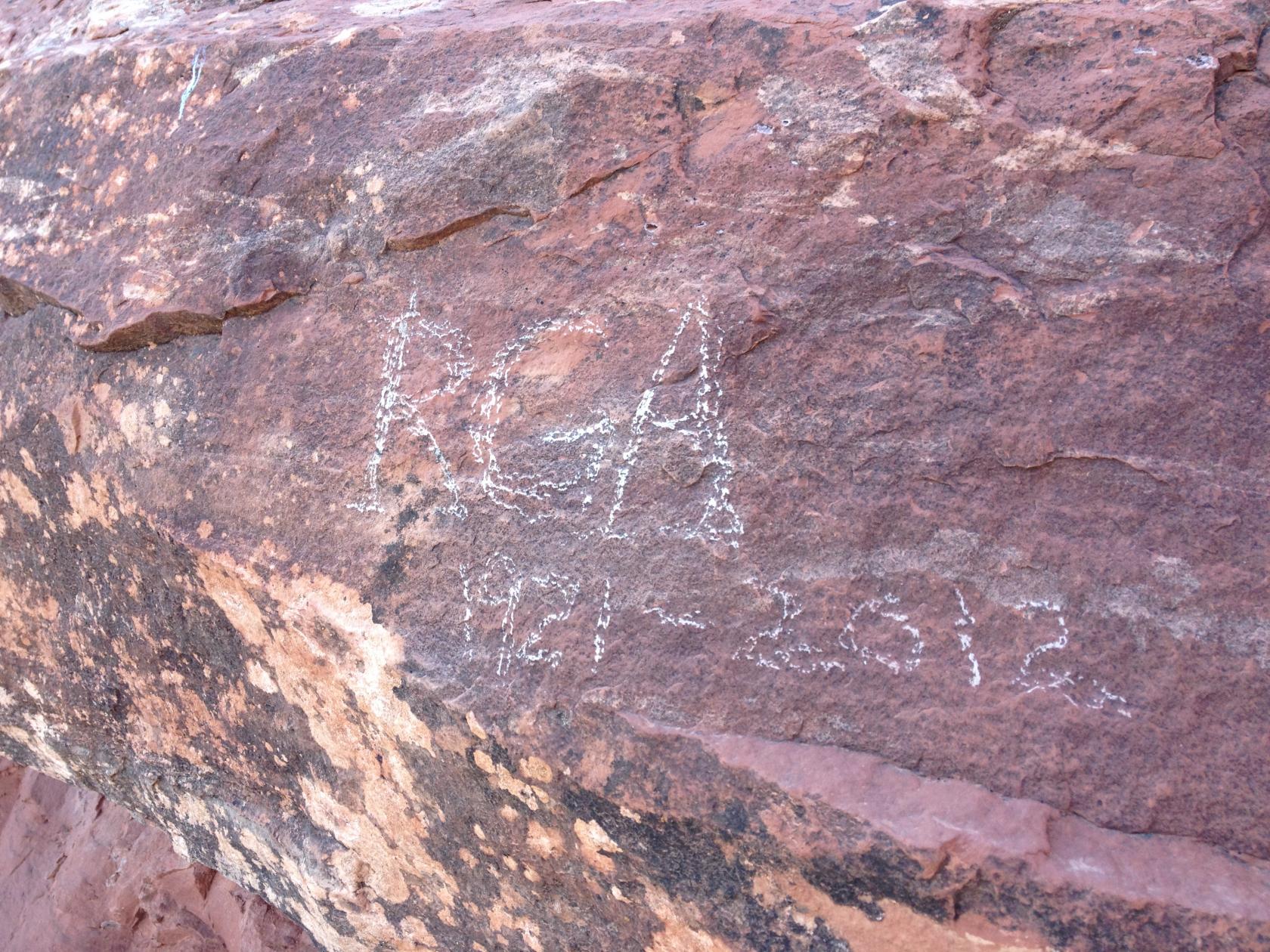 IMG_0918.JPG
Elizabeth’s father passed away recently, so she
used a soft rock to write his initials in memorium.
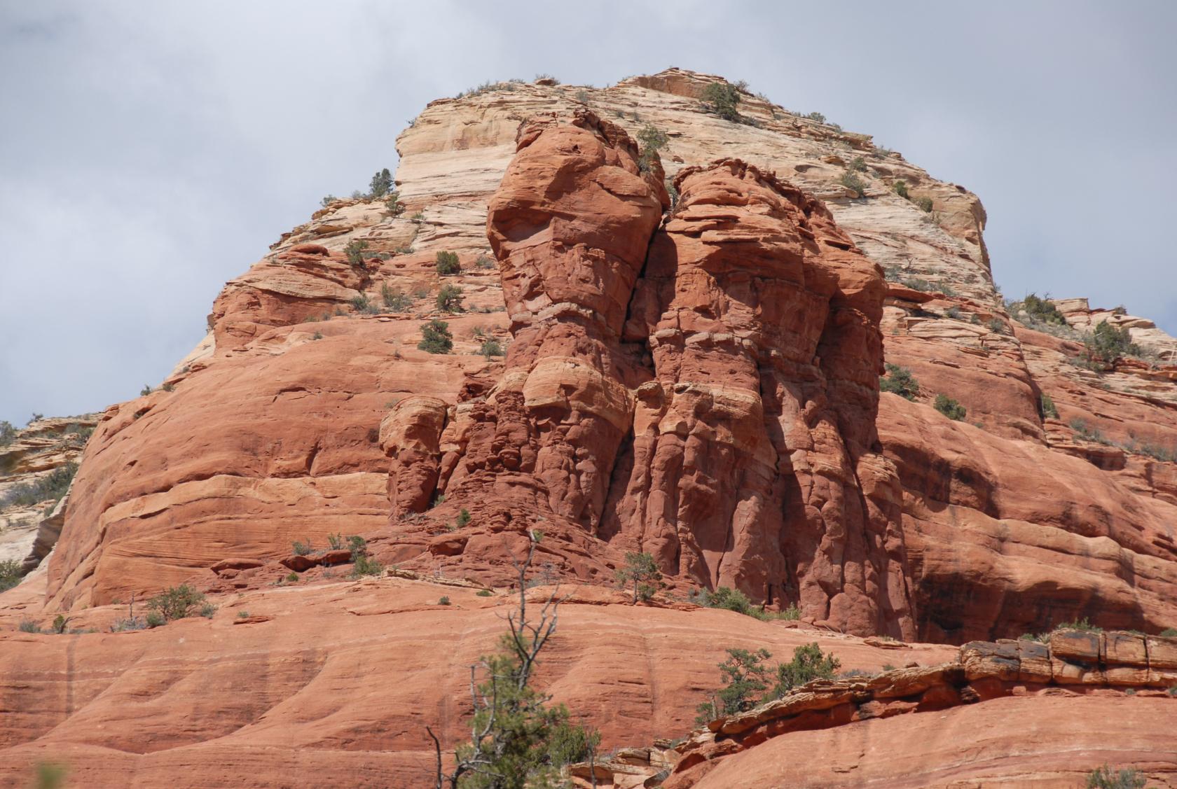
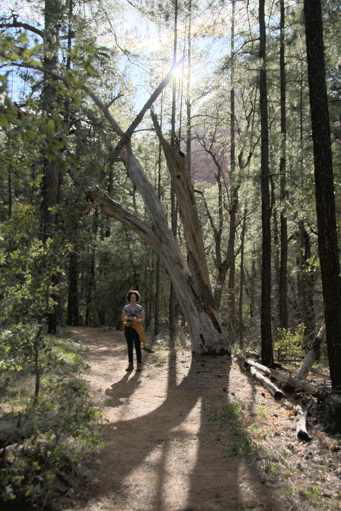
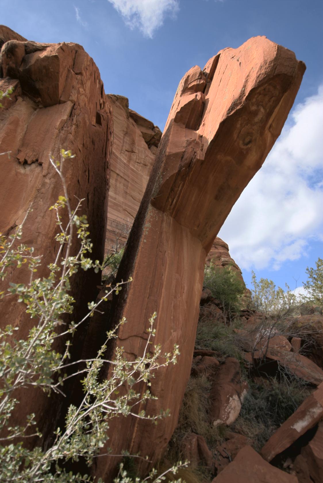
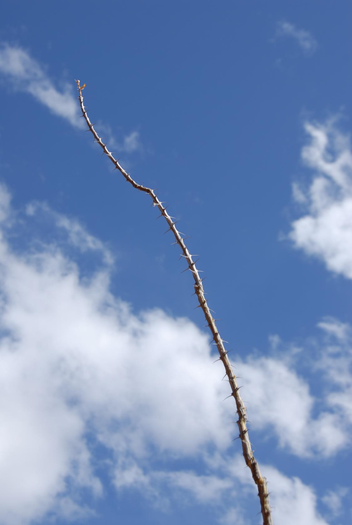 DSC_9628.JPG
A lone cactus branch just tall enough to reach the sky.
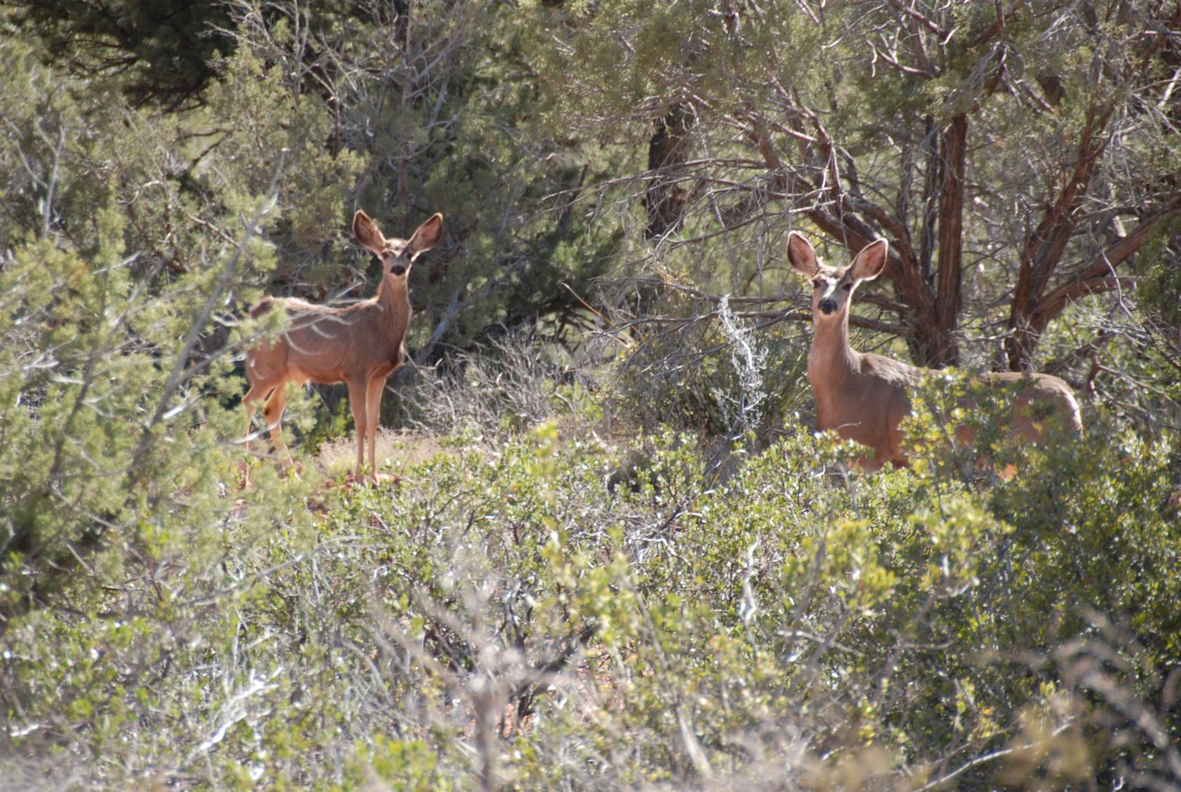 DSC_9678.JPG
Two mule deer we saw along the trail.
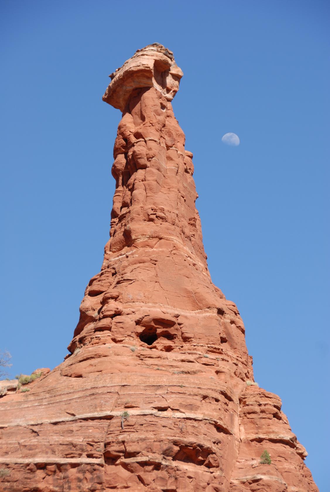 DSC_9682.JPG
Watcher of the Moon
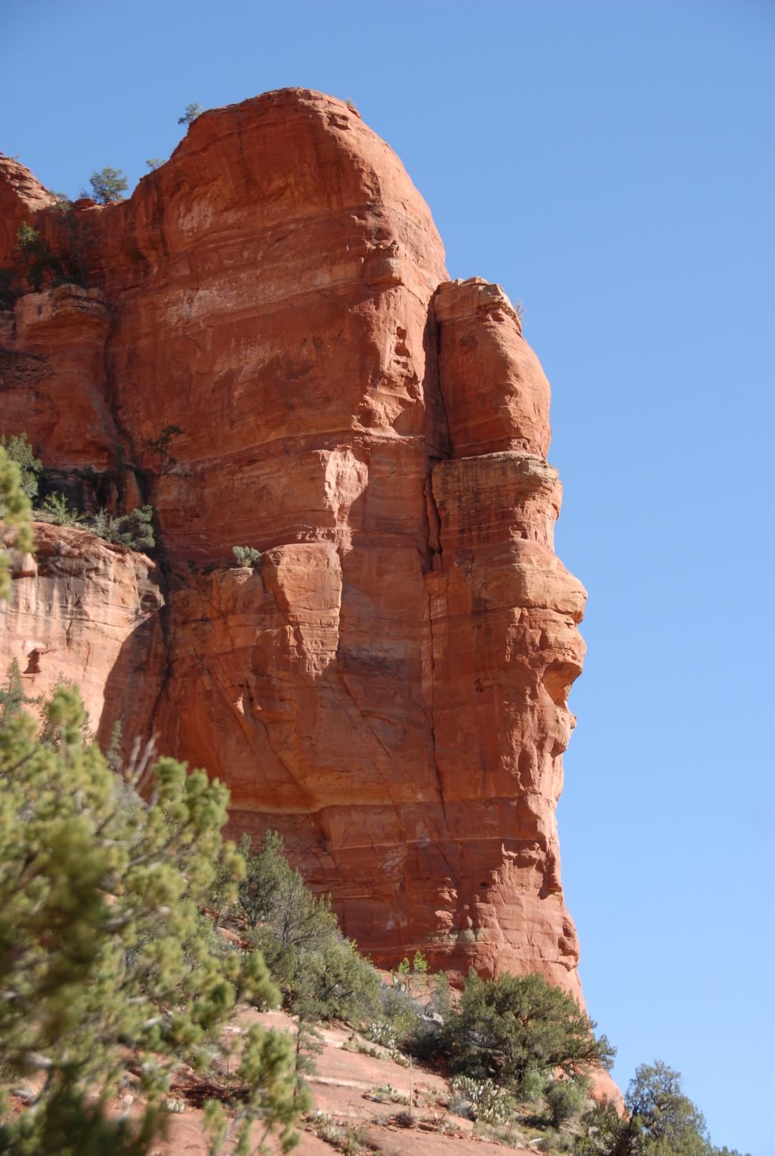
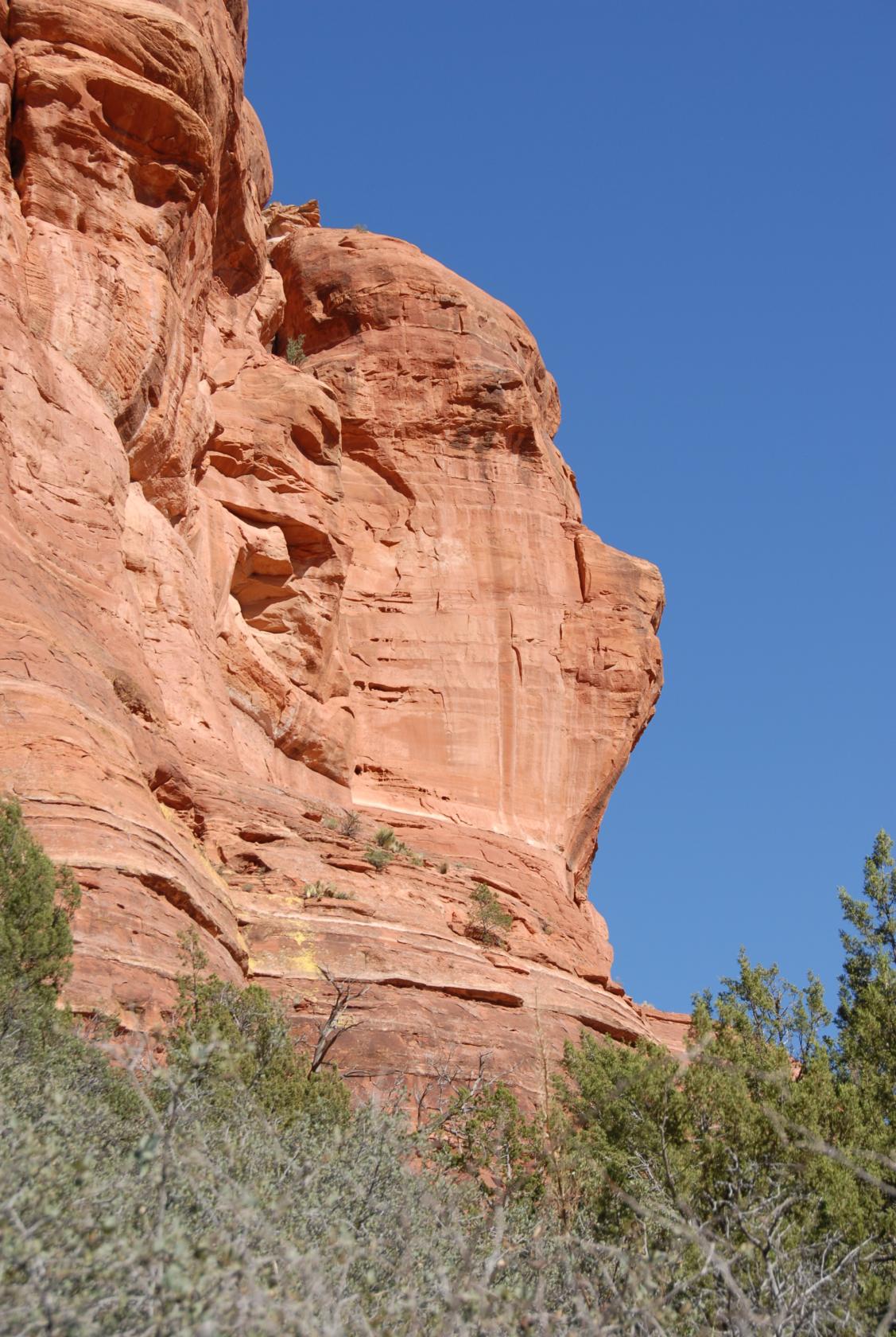 DSC_9693.JPG
Face
I thought this one looked like Winnie the Pooh
 DSC_9699.JPG
The Screamer
Eliz thought this one looked like a shouting person
(with high hair).
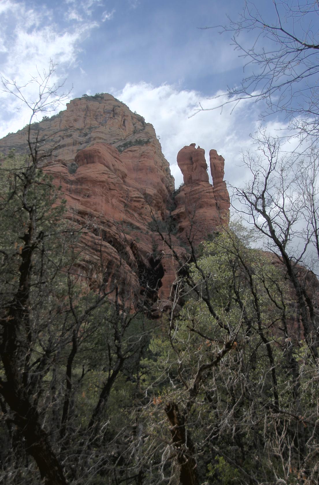
 DSC_9670.JPG
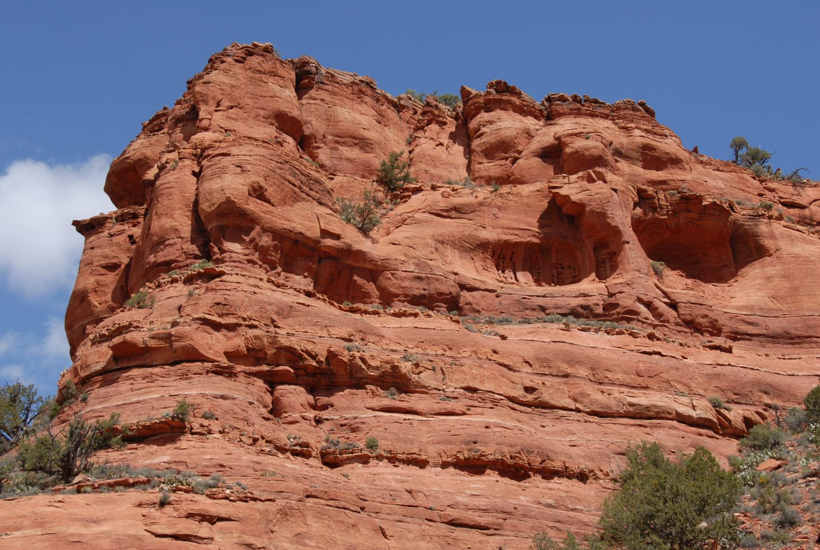
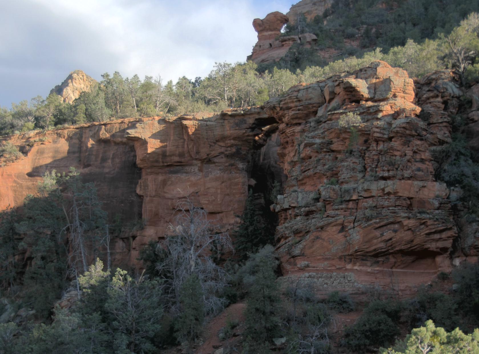
More pretty rocks
 DSC_9700.JPG
Probably too wide to jump
 DSC_9713.JPG
Two–toned mountains
 Sedona012.jpg
At this point, we thought we might be near the end of
the trail, but some other hikers informed us that the
end was at least 40 minutes away. So we turned back.
 Sedona014.jpg
This was supposedly the nicest part, anyway.
 Sedona015.jpg
 DSC_9846.JPG
Catch the moon.
 DSC_9908.JPG
 DSC_9904.JPG
I think this is the Screamer from the other side (on
the left).
 DSC_9932.JPG
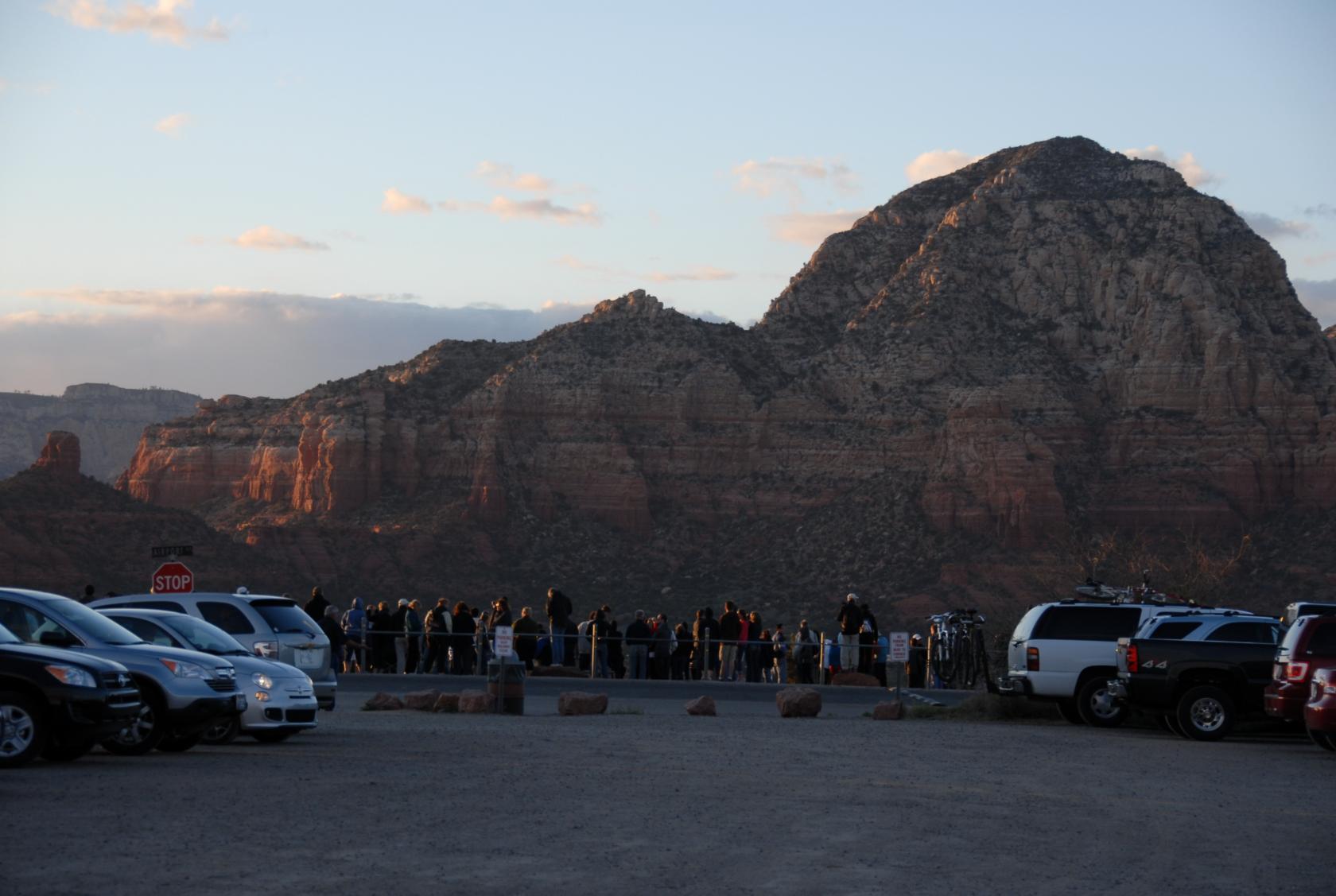
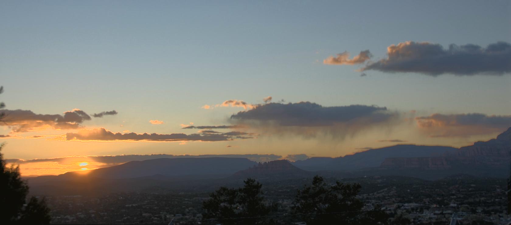
After our hike in Boynton Canyon, we drove up to the
Sedona airport, which we heard was a marvelous vantage
to watch the sunset. Seems we weren’t the only
ones who heard about it....
 SedonaPano12.jpg
It was quite a view.
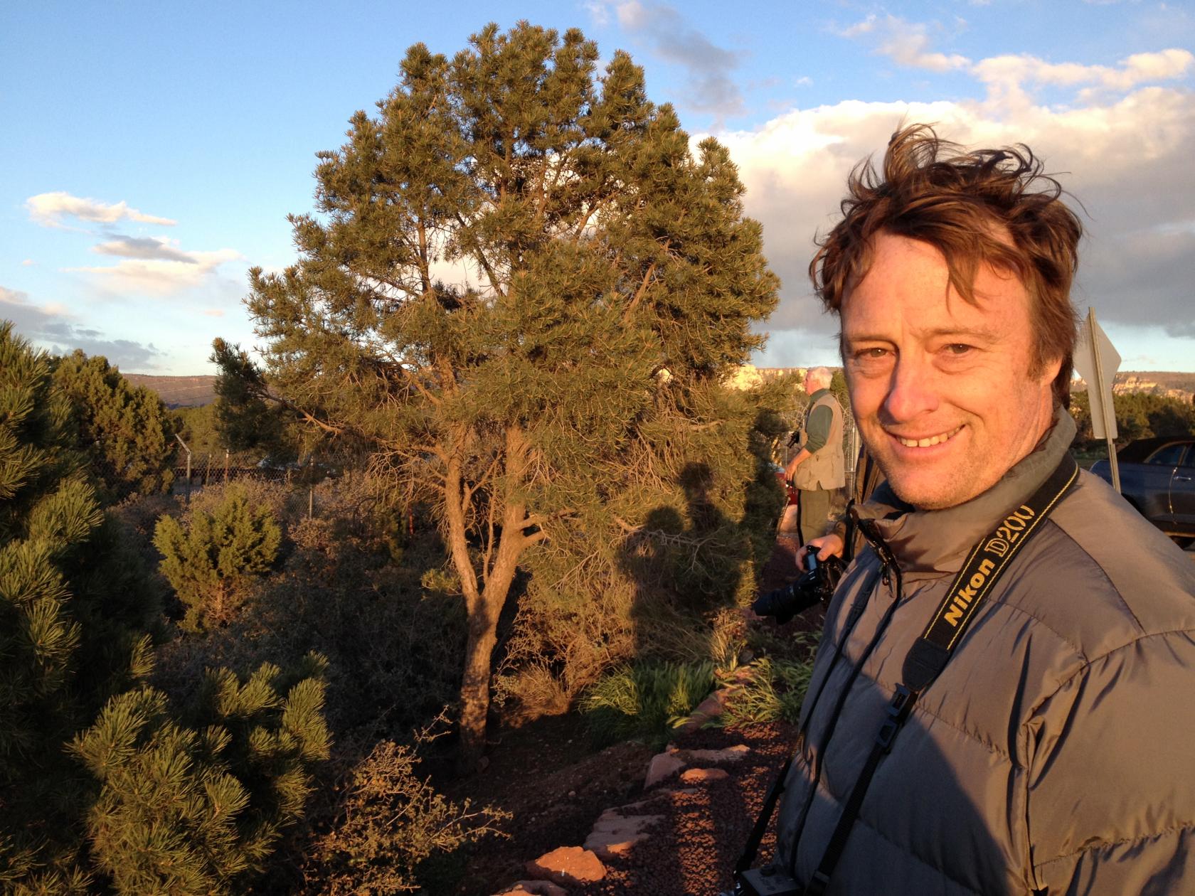 IMG_0935.JPG
Our shadows were getting pretty long at this point.
 DSC_9929.JPG
Viewing conditions were perfect.
 Sedona025.jpg
It looked like one of the clouds was trying to drop
rain, but the dry air absorbed it before it ever reached
the ground.
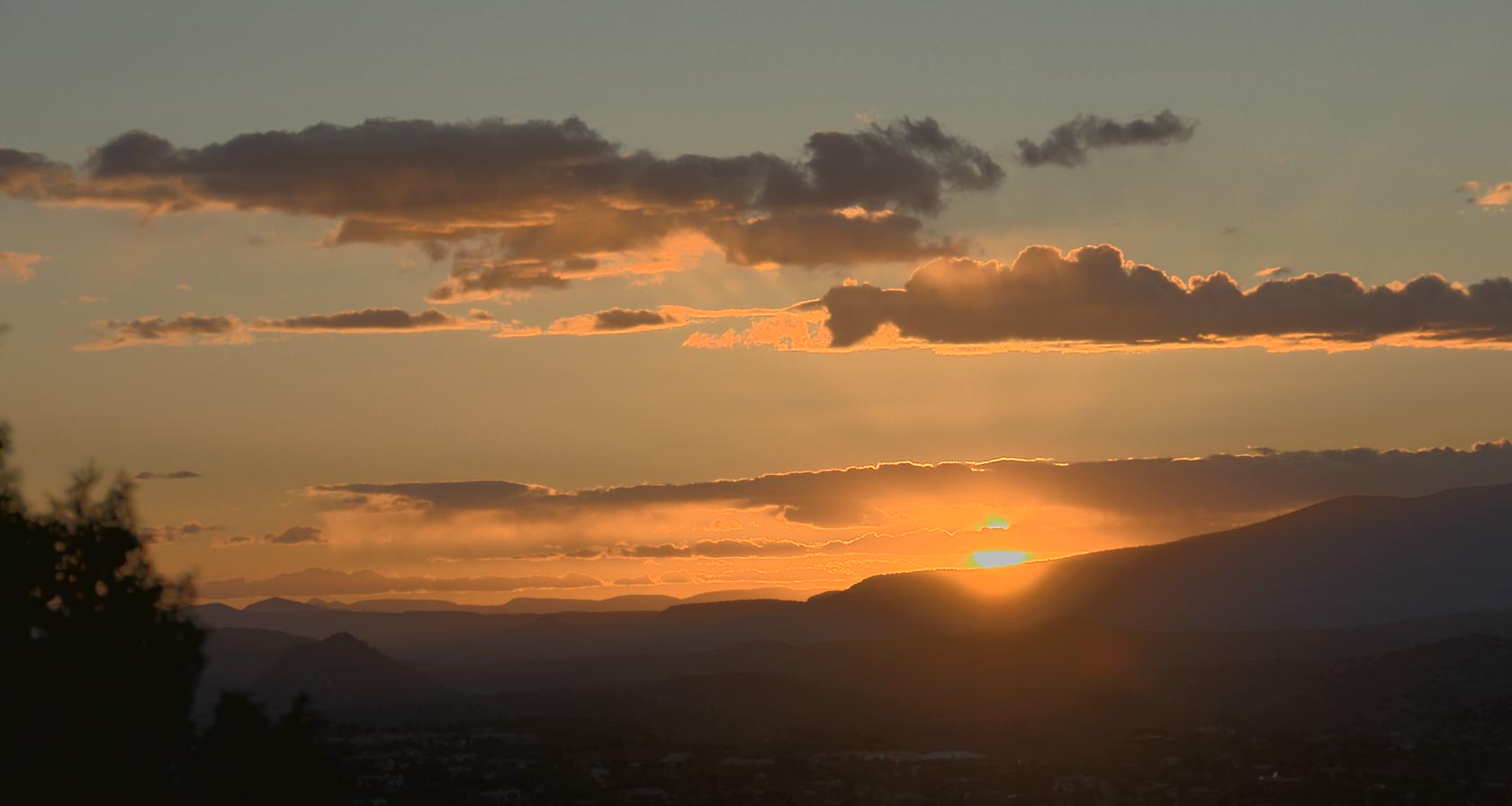 Sedona026.jpg
I took a whole series of these, but this was the nicest.
 IMG_0945.JPG
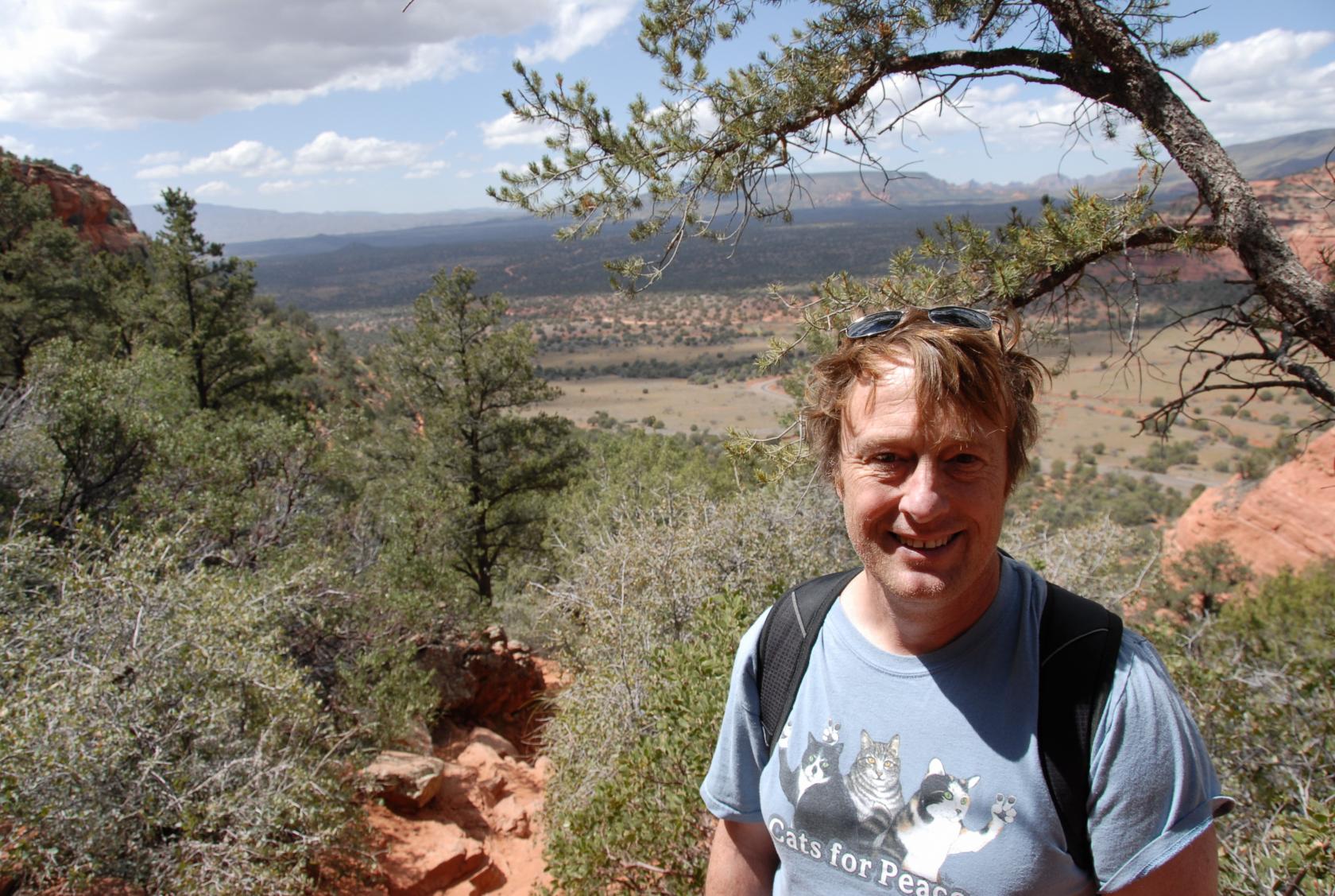
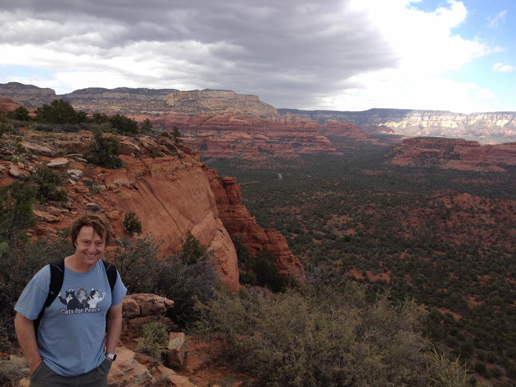
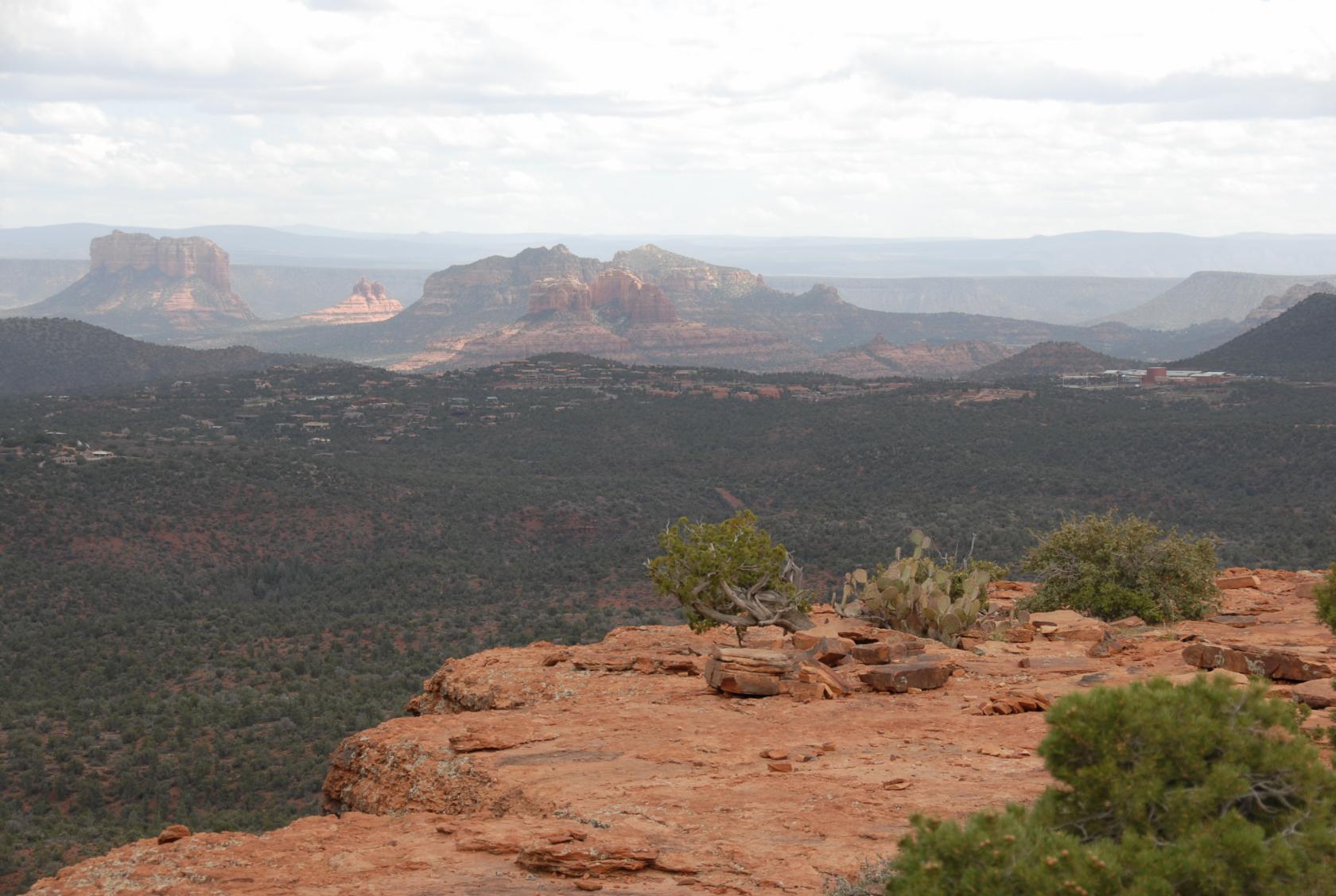
The next day, we drove back to Sedona because it was
too cold for the Grand Canyon that day, and we liked
Sedona and wanted to see some things we missed, like
this lookout point.
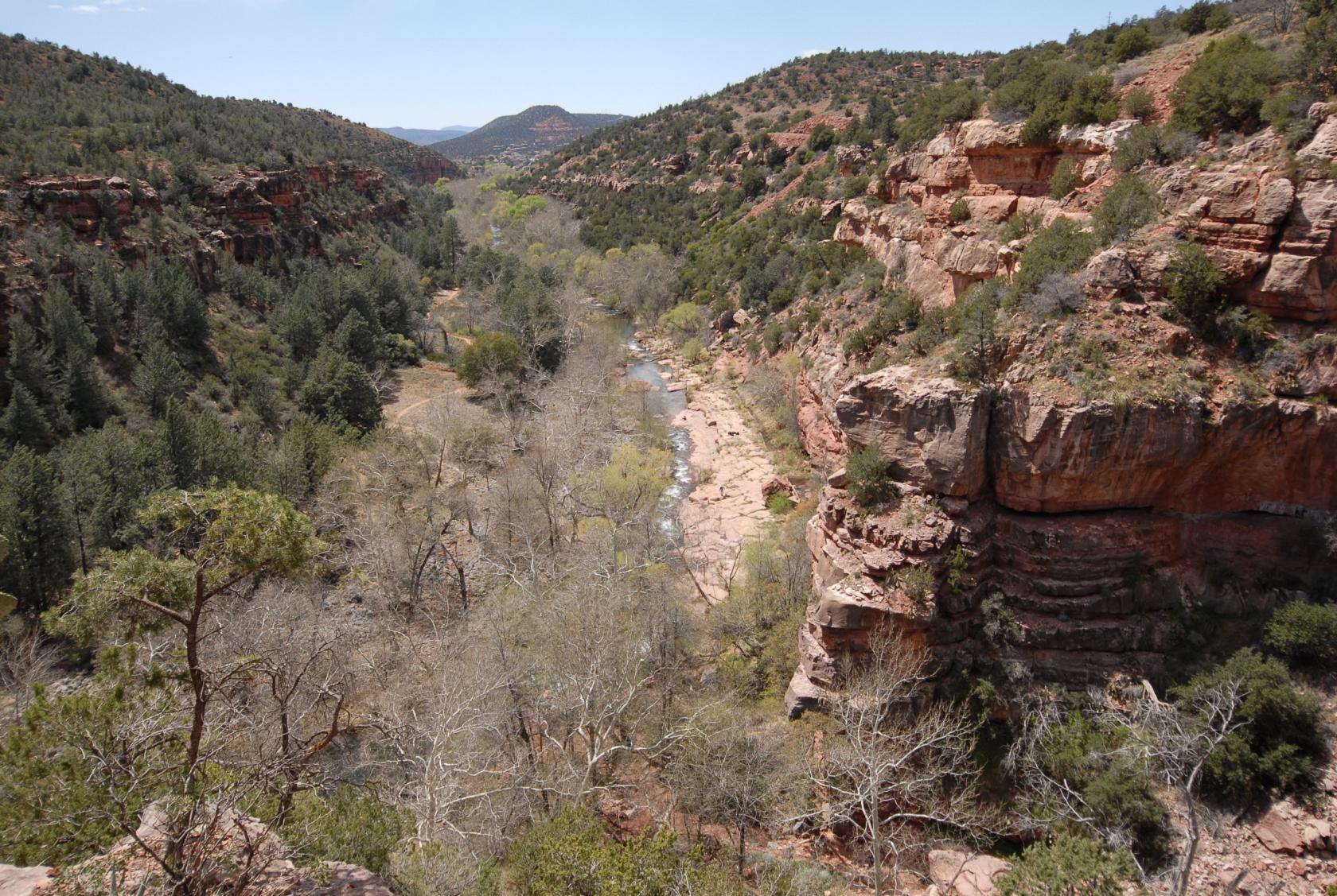
 Sedona041.jpg
One of the photos I took from the lookout.
 Sedona042.jpg
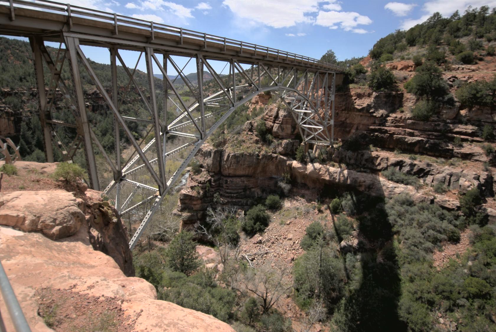
Midgley Bridge
On 89A
 DSC_0116.JPG
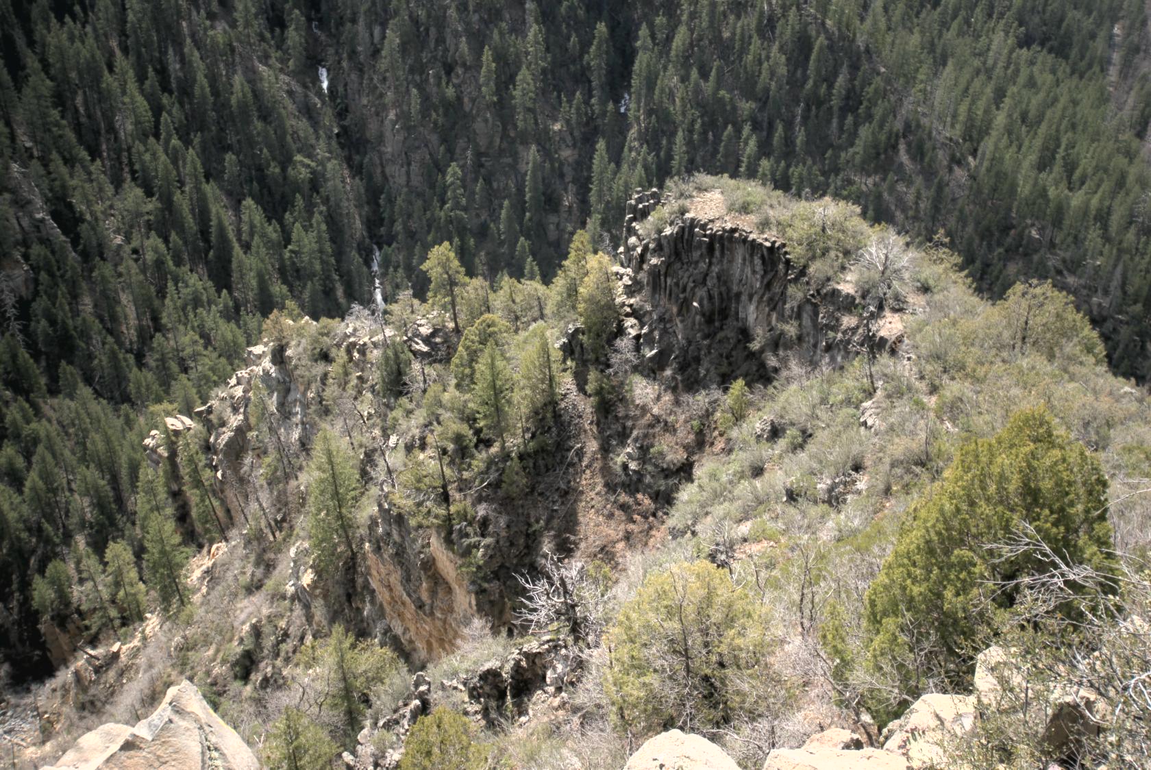
Another view of Oak Creek Canyon
 DSC_0125.JPG
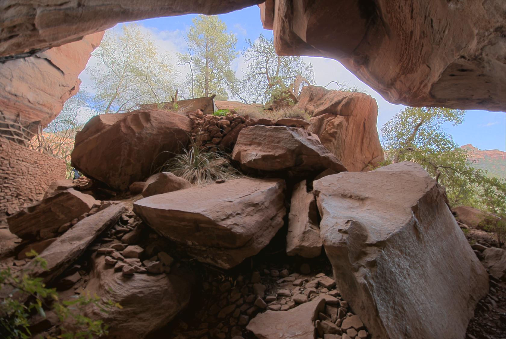
This morning, we headed to the Palatki Heritage Site
at the end of a 4–mile dirt road.
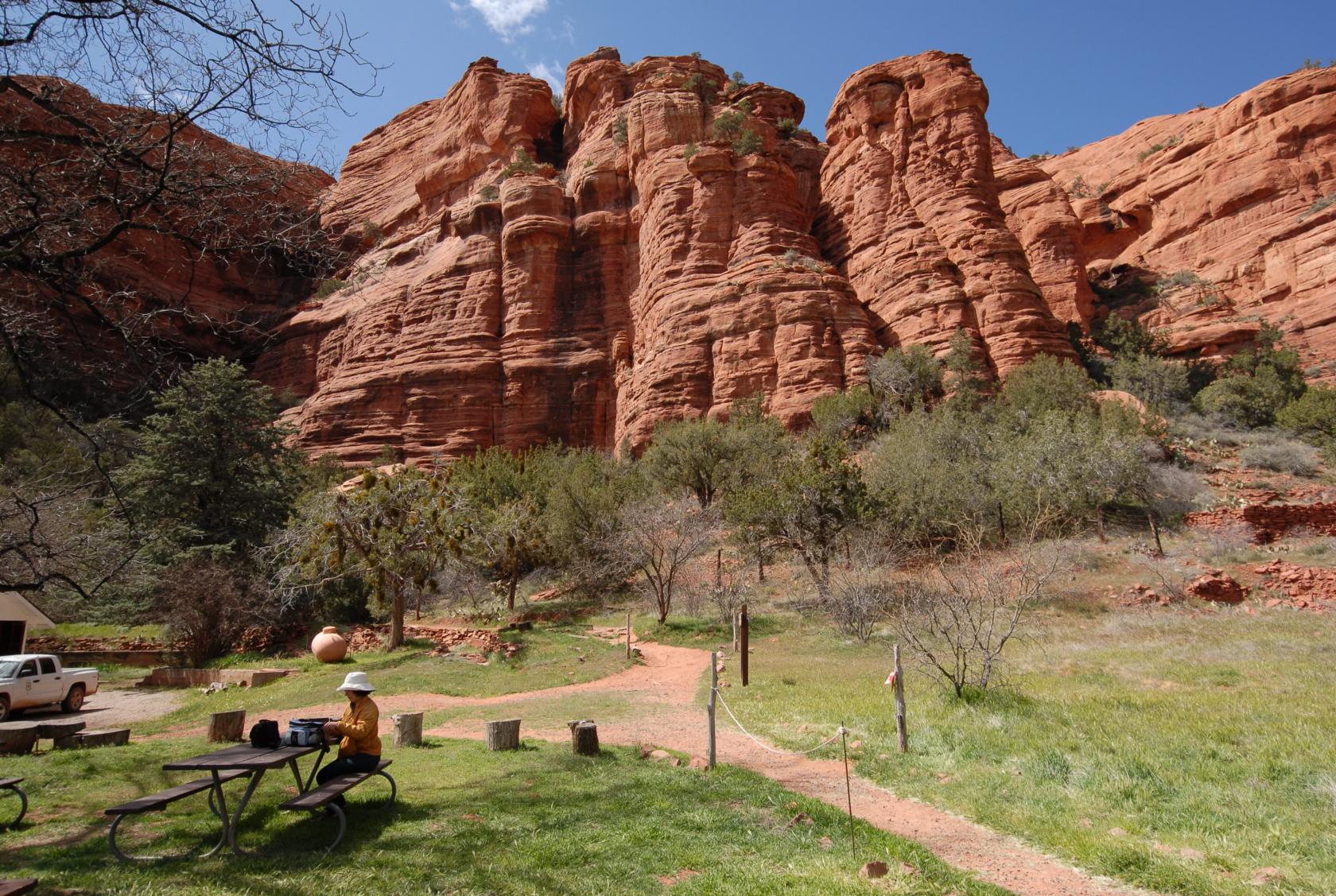 DSC_0131.JPG
There we had the lunch we picked up from the grocer
in town, with spectacular views all around.
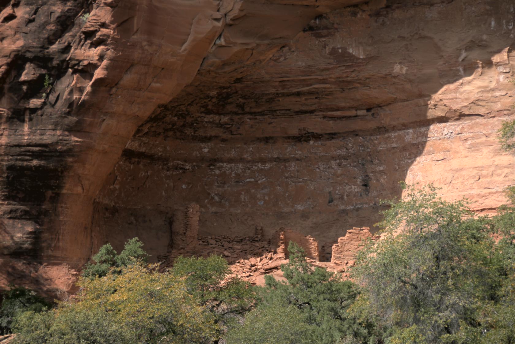
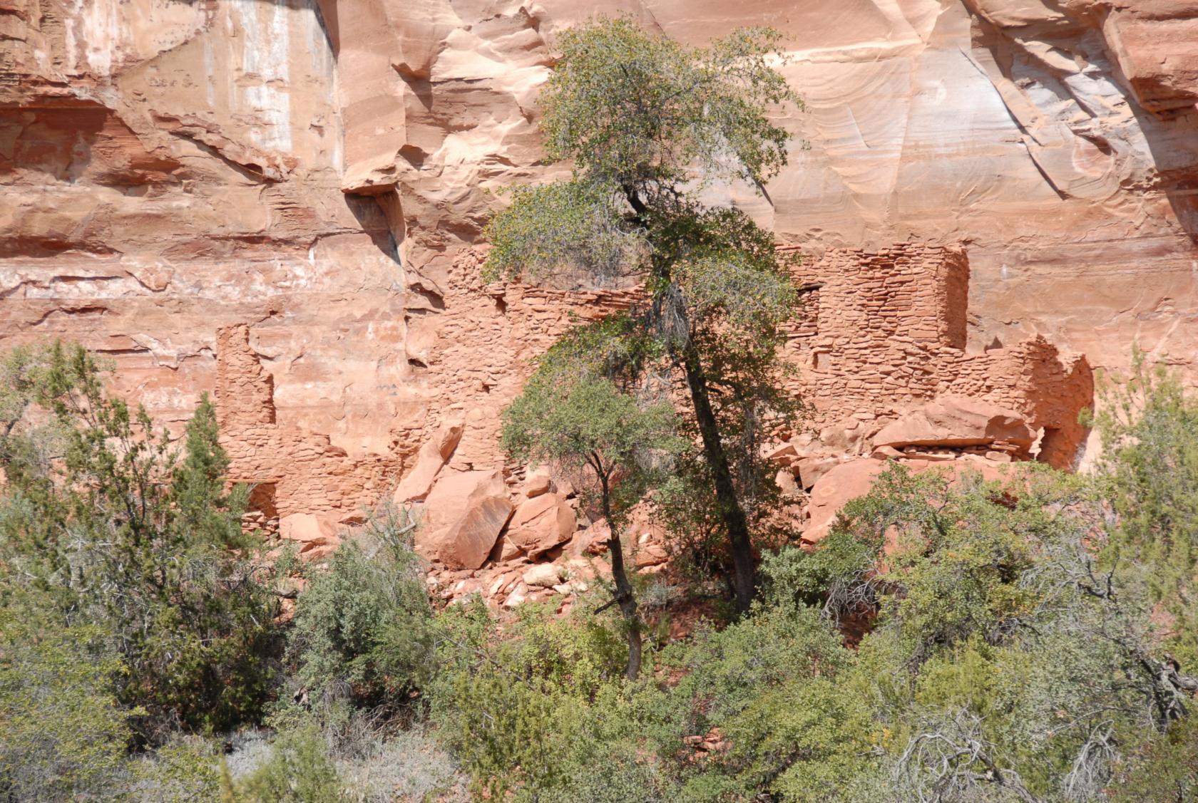 DSC_0145.JPG
The ruins of a pueblo blended almost perfectly into
the rockface, which we weren’t allowed to approach
since someone heard the rocks above making "cracking
sounds" the year before.
 Sedona047.jpg
We didn’t notice the second set of ruins at first,
since they were in shadow as well as camoflage.
 DSC_0128.JPG
These stones had clearly fallen from somplace much higher
up, but probably not too recently....
 Sedona053.jpg
Up close, they were even more impressive.
 Sedona051.jpg
Just to the west, some more overhanging rocks were home
to pictographs drawn by former inhabitants.
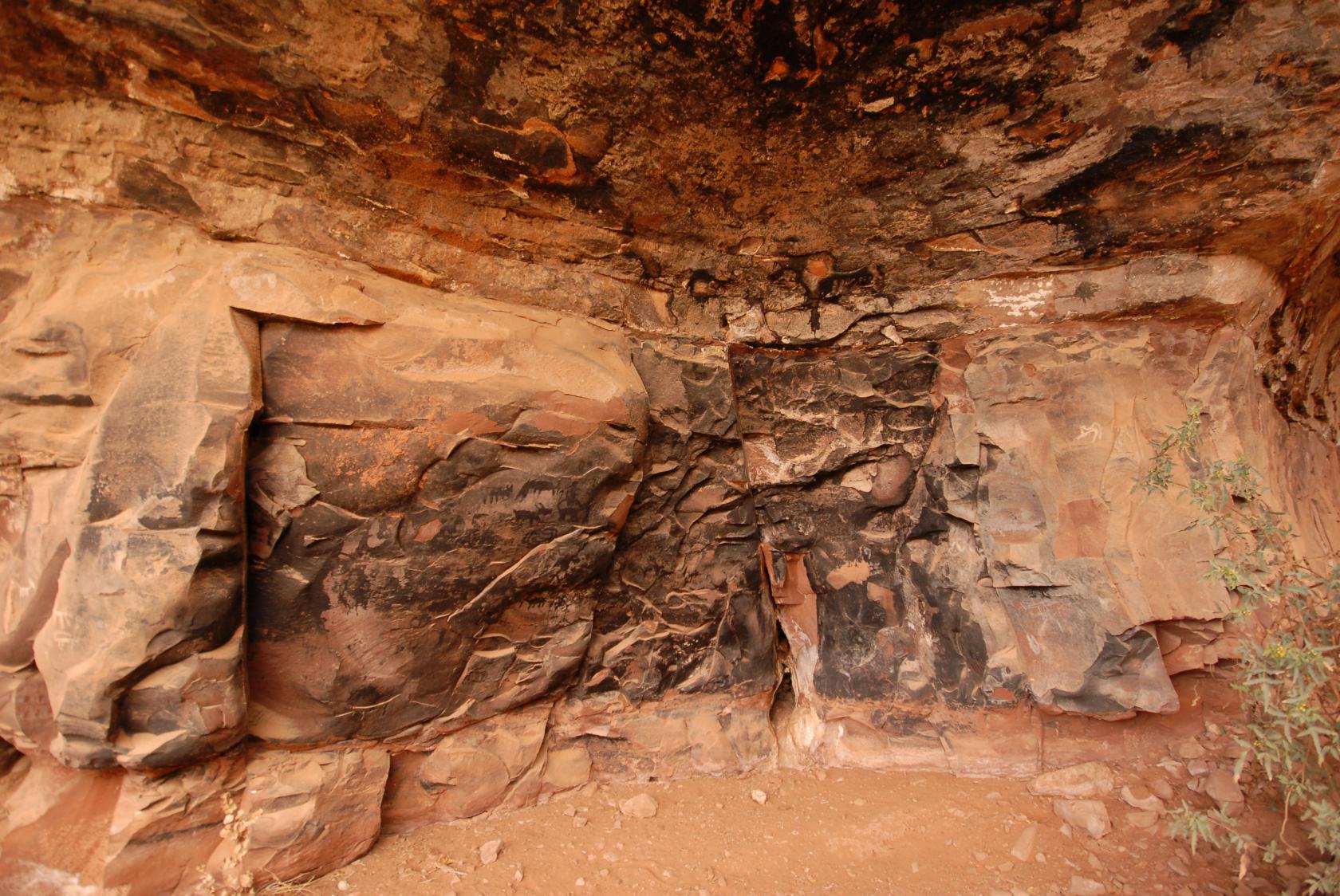 DSC_0233.JPG
The guide told us that many of these pictographs were
drawn before this was used as a fire pit, and the smoke
turned the light pigments dark.
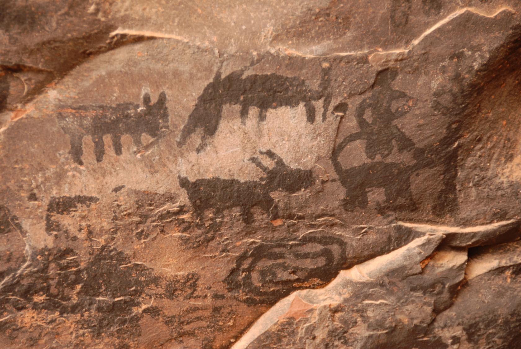 DSC_0279.JPG
A close–up of some of the pictographs.
 Sedona058.jpg
These walls were constructed by a more recent settler,
a reclusive widower who occupied the land until the
middle of the last century.
 DSC_0178.JPG
View from the doorway
 Sedona059.jpg
View from the back
 DSC_0293.JPG
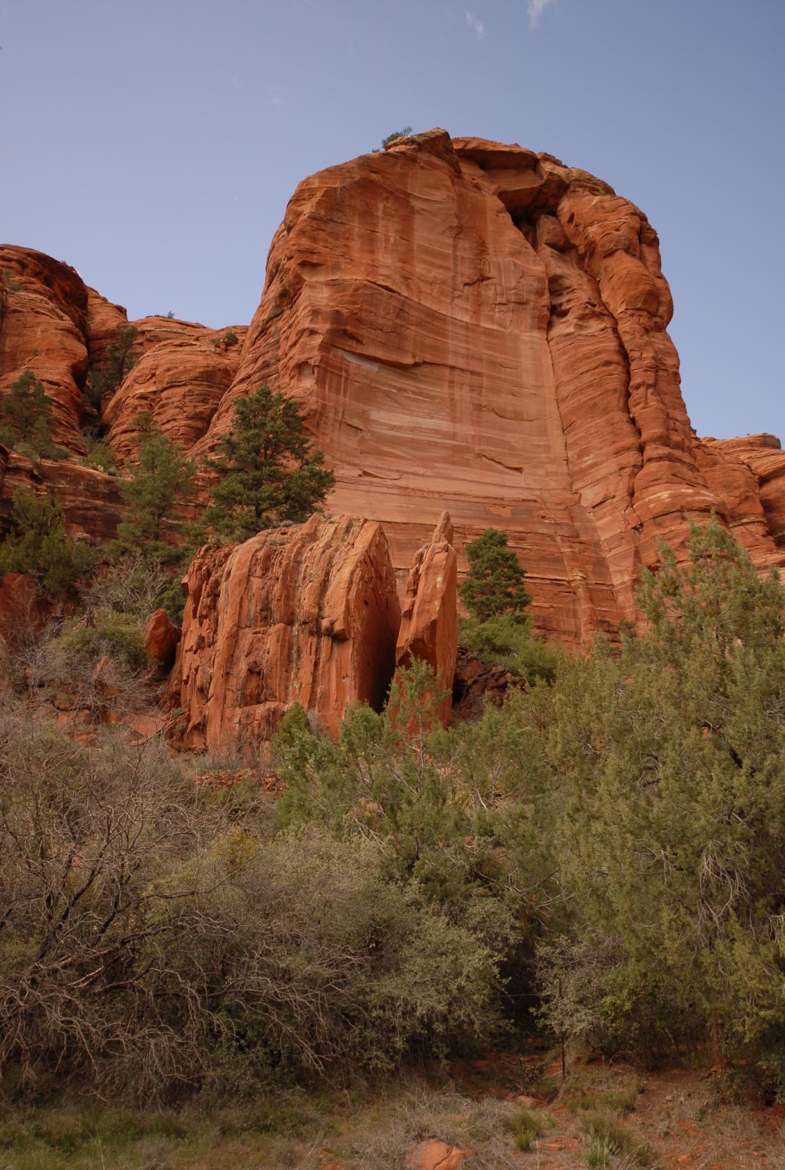
After Palatki, we took to another dirt road that led
to the hike to Devil’s Bridge. I was dragging
at that point from the long day, and we weren’t
sure how long the road was before the trailhead. We
only knew our rental car couldn’t make it.
 DSC_0292.JPG
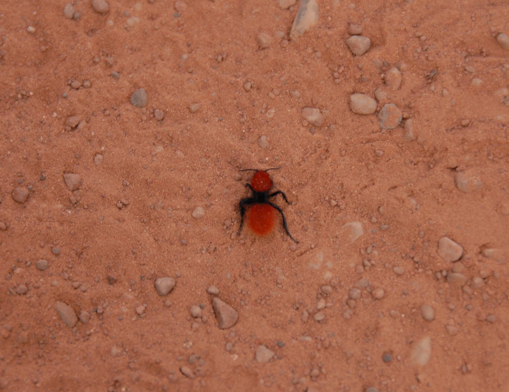
This seems to be a red velvet ant, which I’d never
heard of until I googled it just now. Apparently, they’re
a kind of wasp, the female of which lacks wings. Their
stings are supposed to hurt like heck, so I’m
glad we left it alone.
 DSC_0311.JPG
Our climb to Devil’s Bridge.
 DSC_0425.JPG
We kept our eye on this precariously balanced rock during
our climb.
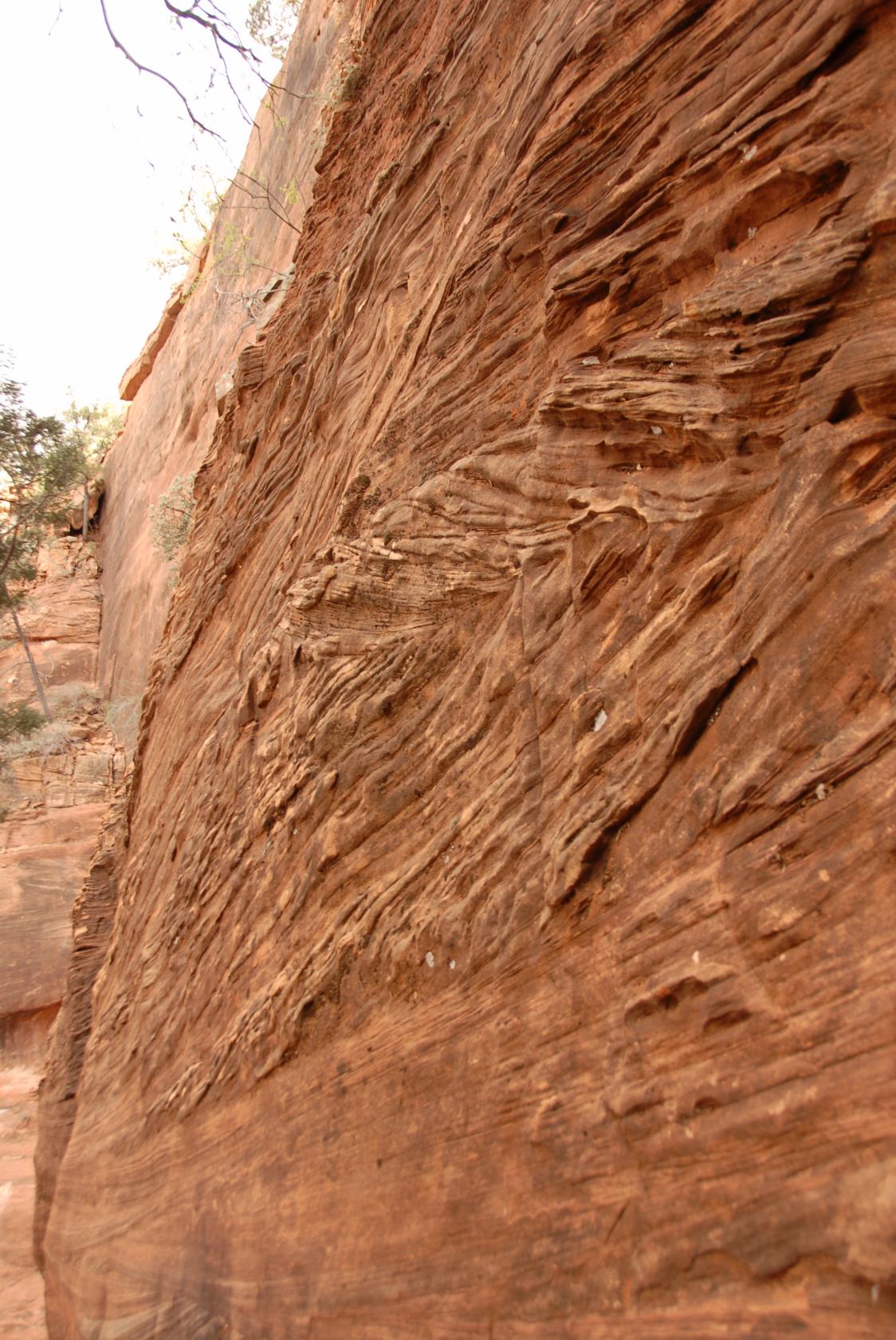 DSC_0312.JPG
Some interesting patterns on the vertical face we passed
on the trail.
 DSC_0287.JPG
The rocks across the small valley were also pretty cool.
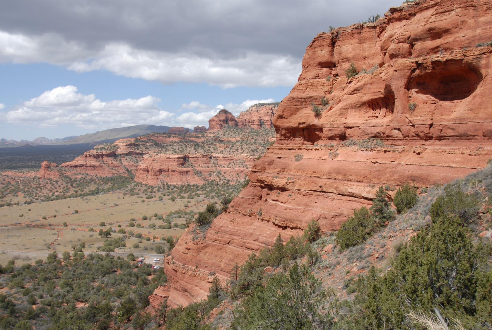
 SedonaPano13.jpg
The view near the top.
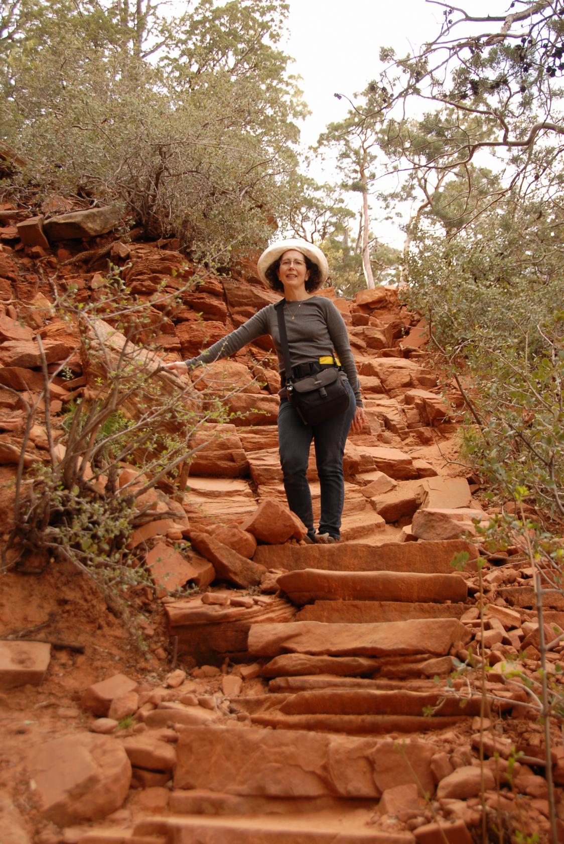
 DSC_0320.JPG
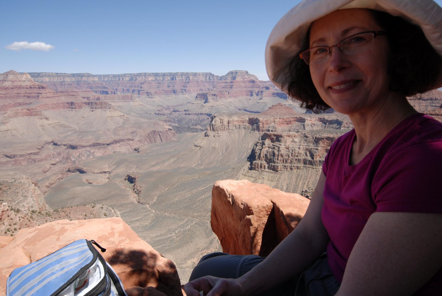
Another in our series of "Could you take our picture?"
pictures.
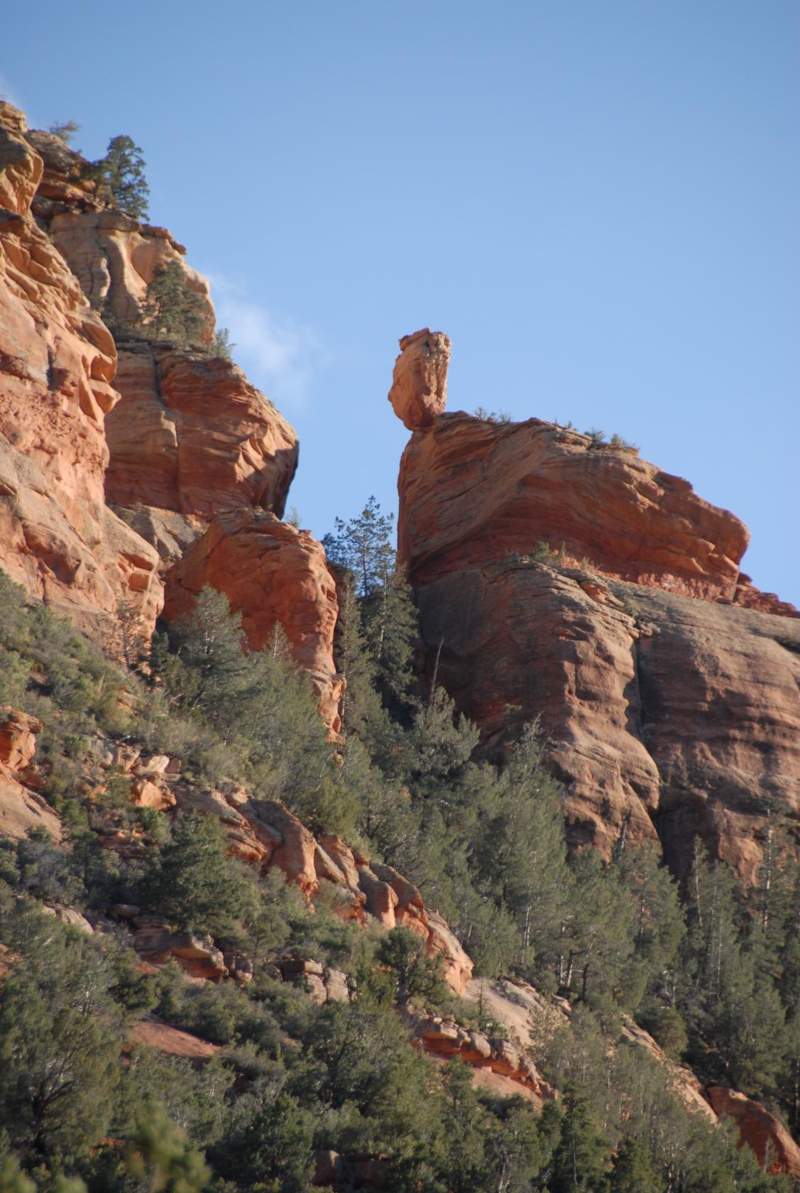
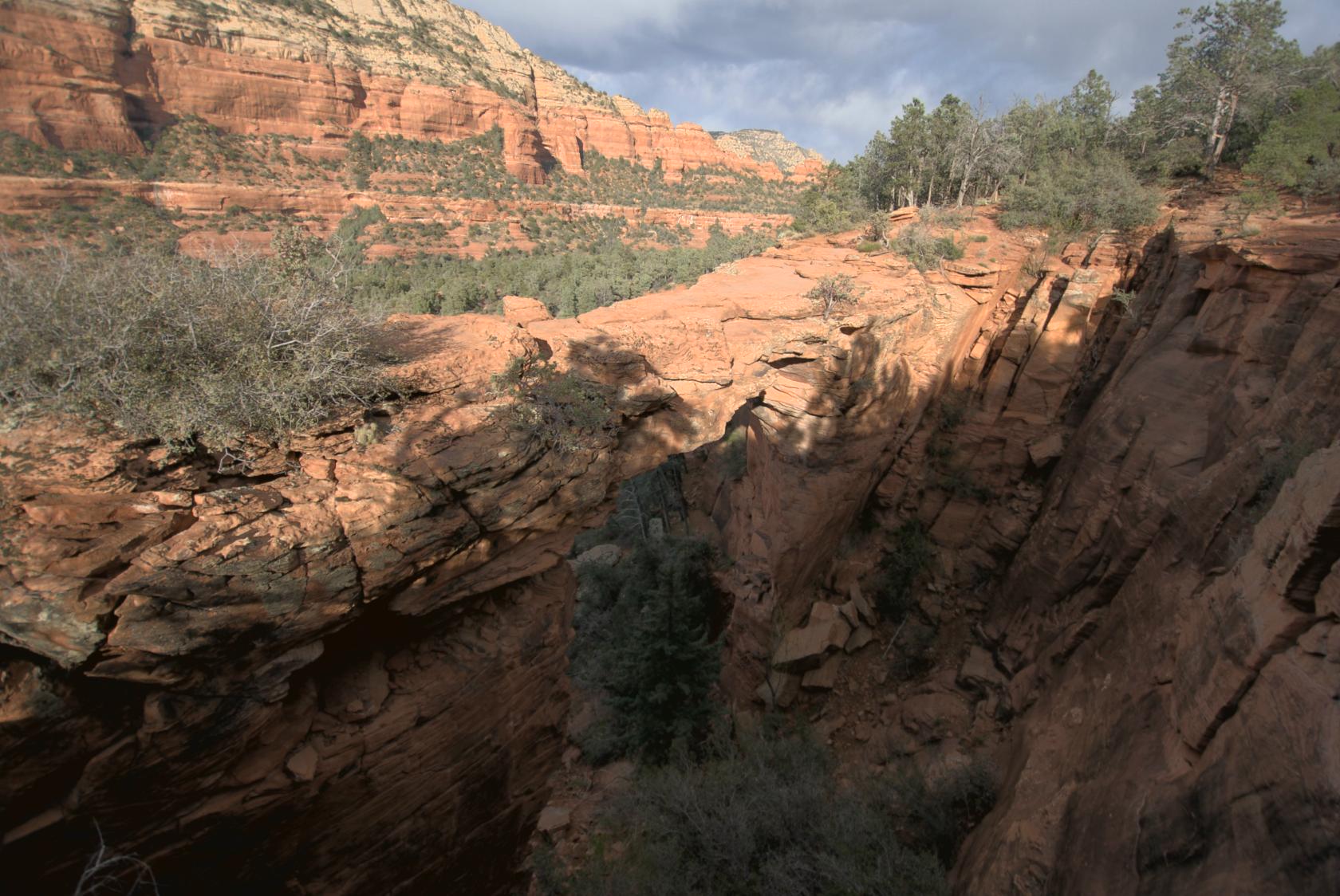
 DevilsBridge15.jpg
Devil’s bridge, as seen from the trail (barely)
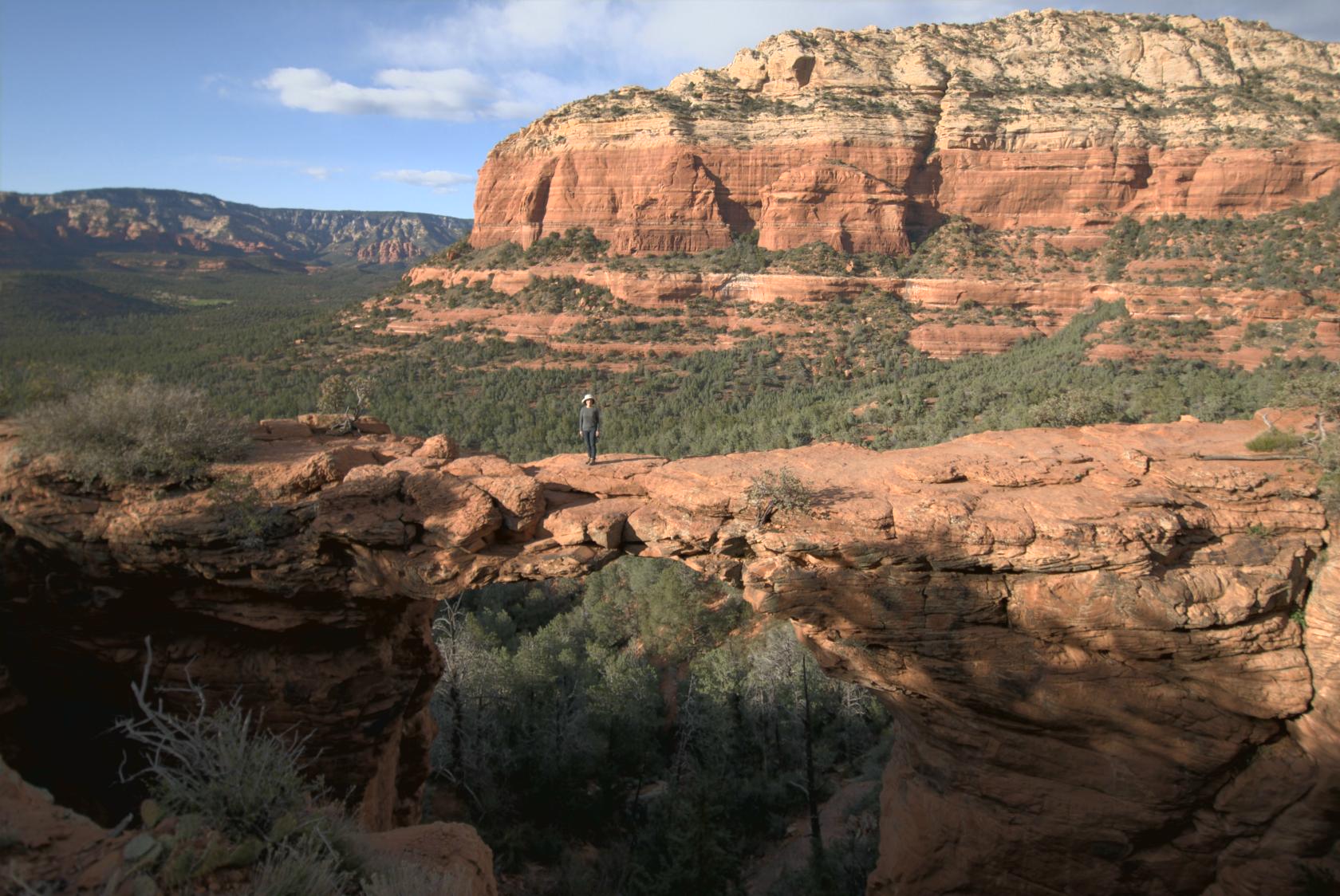
 DevilsBridge5.jpg
The view of the bridge from nearby was amazing, and
hard to take in a single shot, even wide–angle.
 DevilsBridge9.jpg
Eliz walked out on the bridge, which was actually a
lot scarier from this vantage than it was from on top
of it.
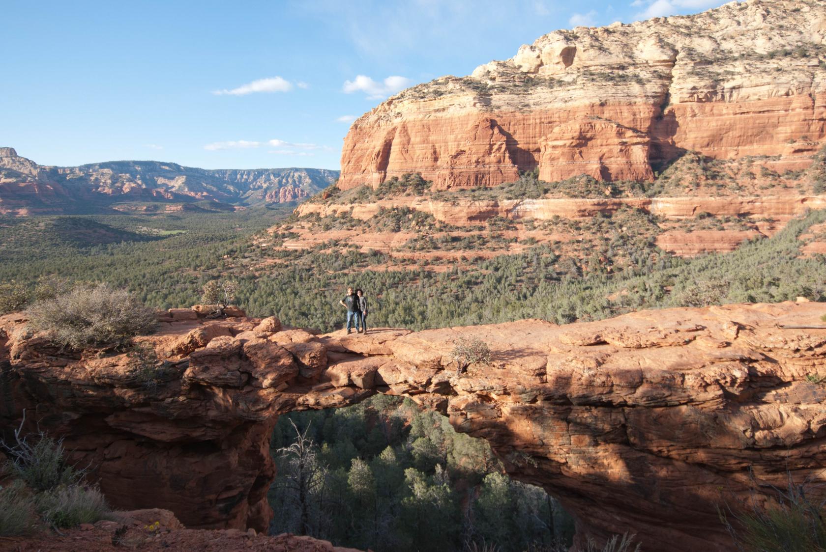 DSC_0387a.jpg
We even found someone to take pictures of the two of
us.
 DSC_0428.JPG
A parting shot on our hike out — precarious rock
still perched
 DSC_0430.JPG
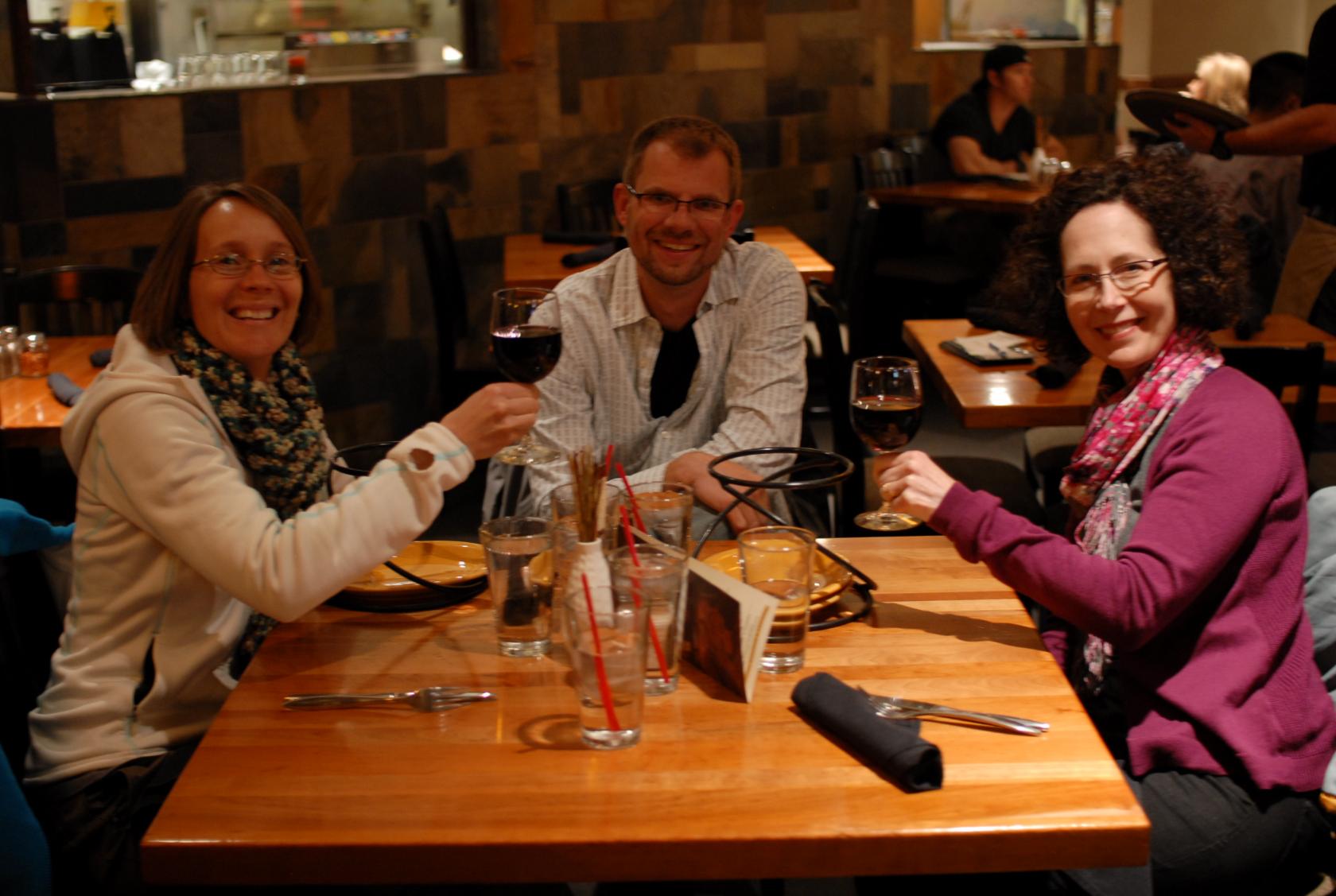
In the evening, we took our hosts out to dinner (salad
and pizza) in town.
 GrandCanyon30.jpg
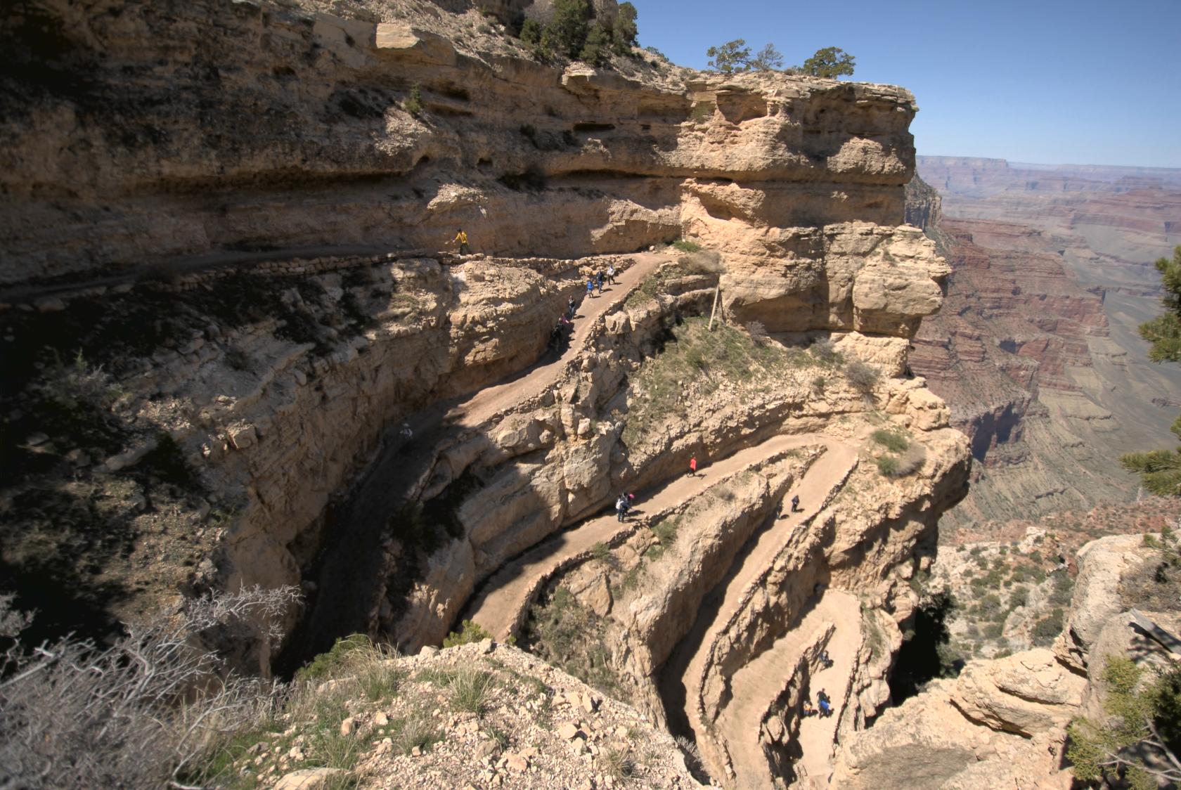
The next day we finally made it to the Grand Canyon,
which was my second visit there and Elizabeth’s
first. We decided to take the classic South Kaibab
Trail down to Skeleton Point.
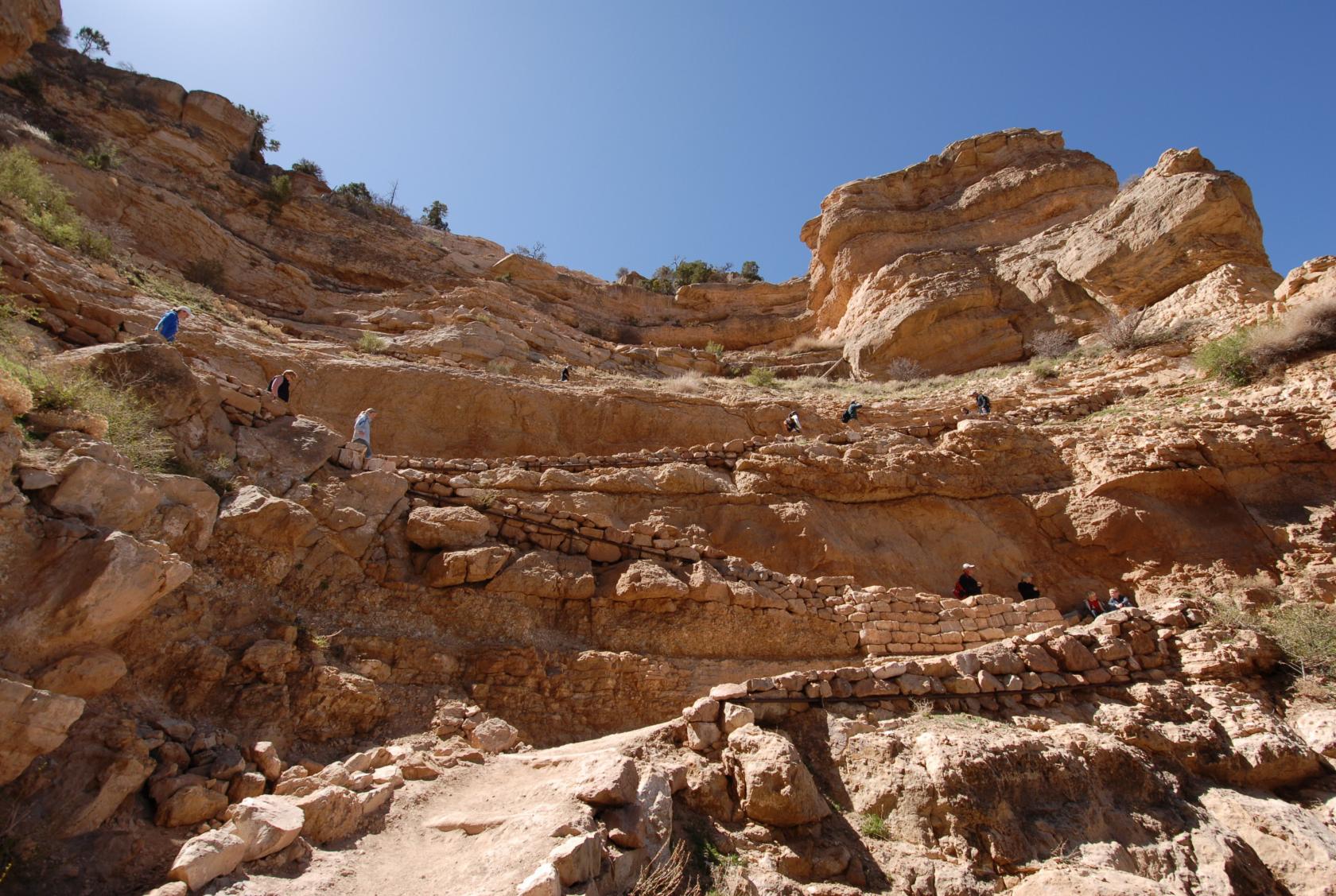
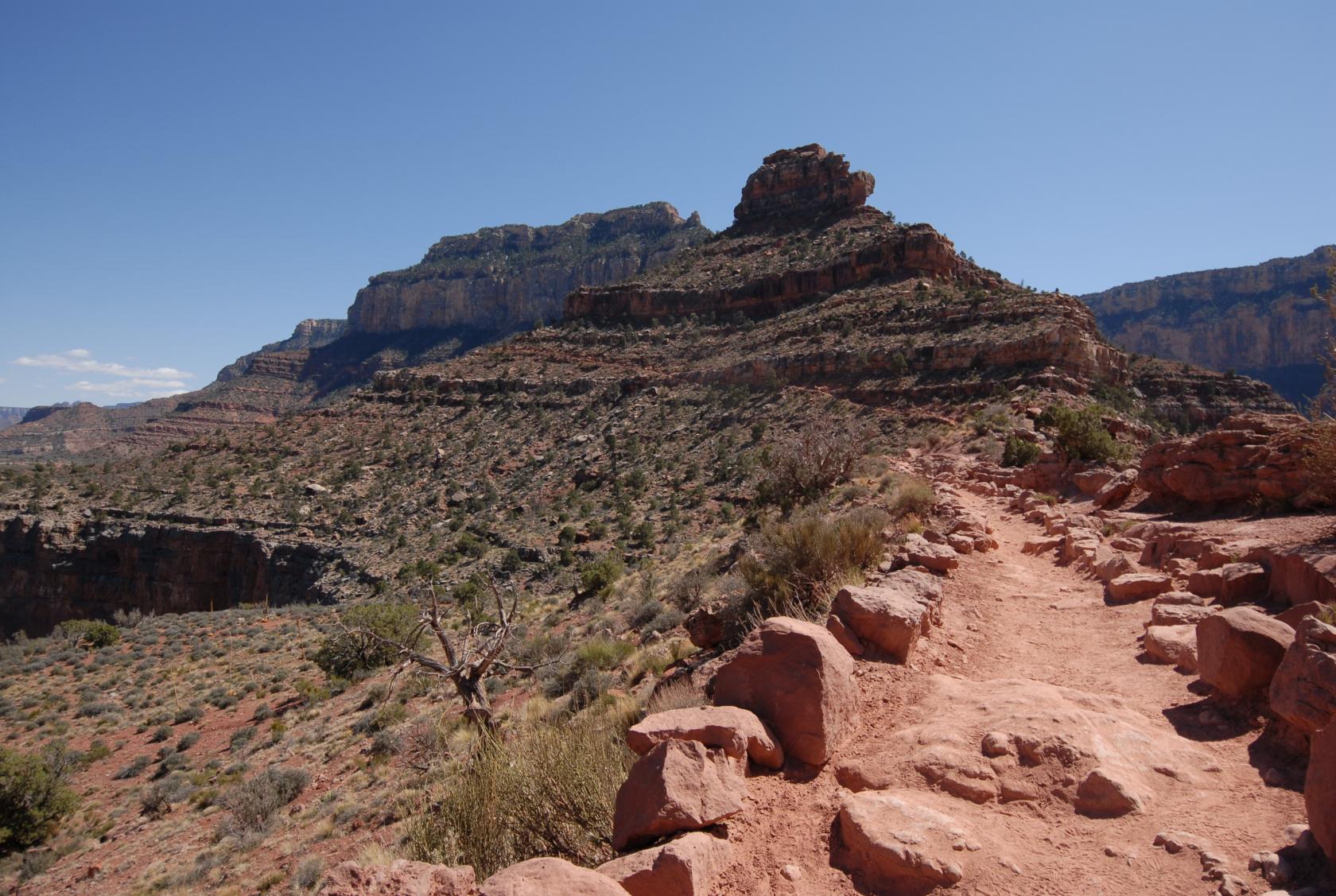
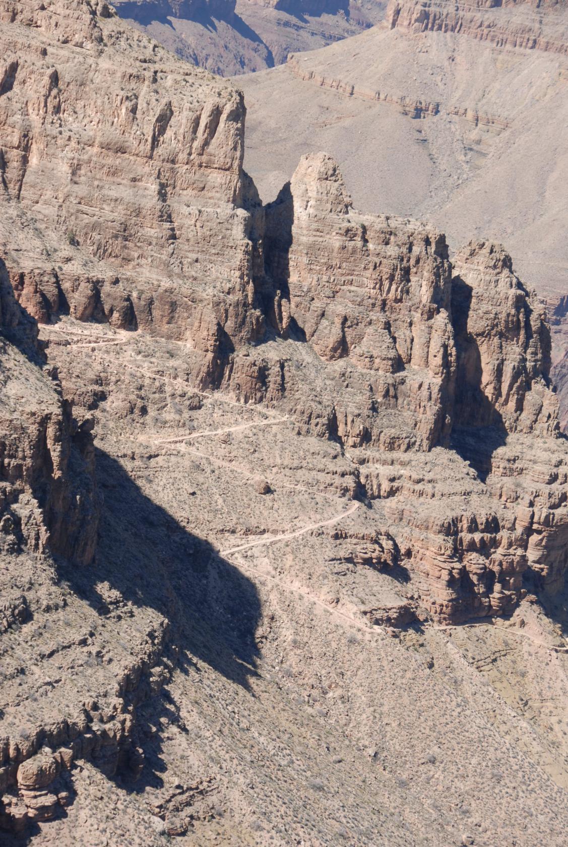
 DSC_0441.JPG
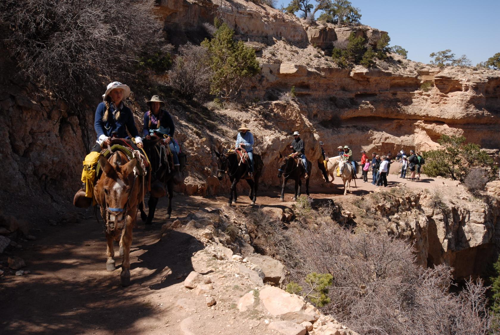
The trail is shared with mules and their riders, who
enjoy the fantastic views from slightly higher up.
 DSC_0451.JPG
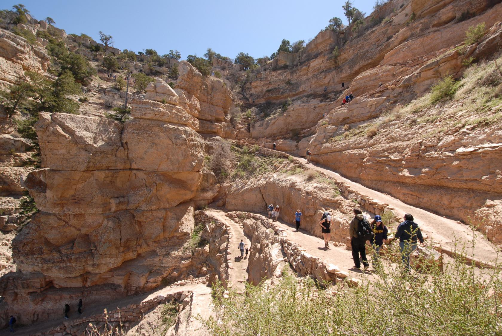
The initial set of switchbacks curl neatly into a finger
of the canyon, and its fun to watch hikers go back and
forth along it.
 DSC_0454.JPG
Like ants.
 DSC_0462.JPG
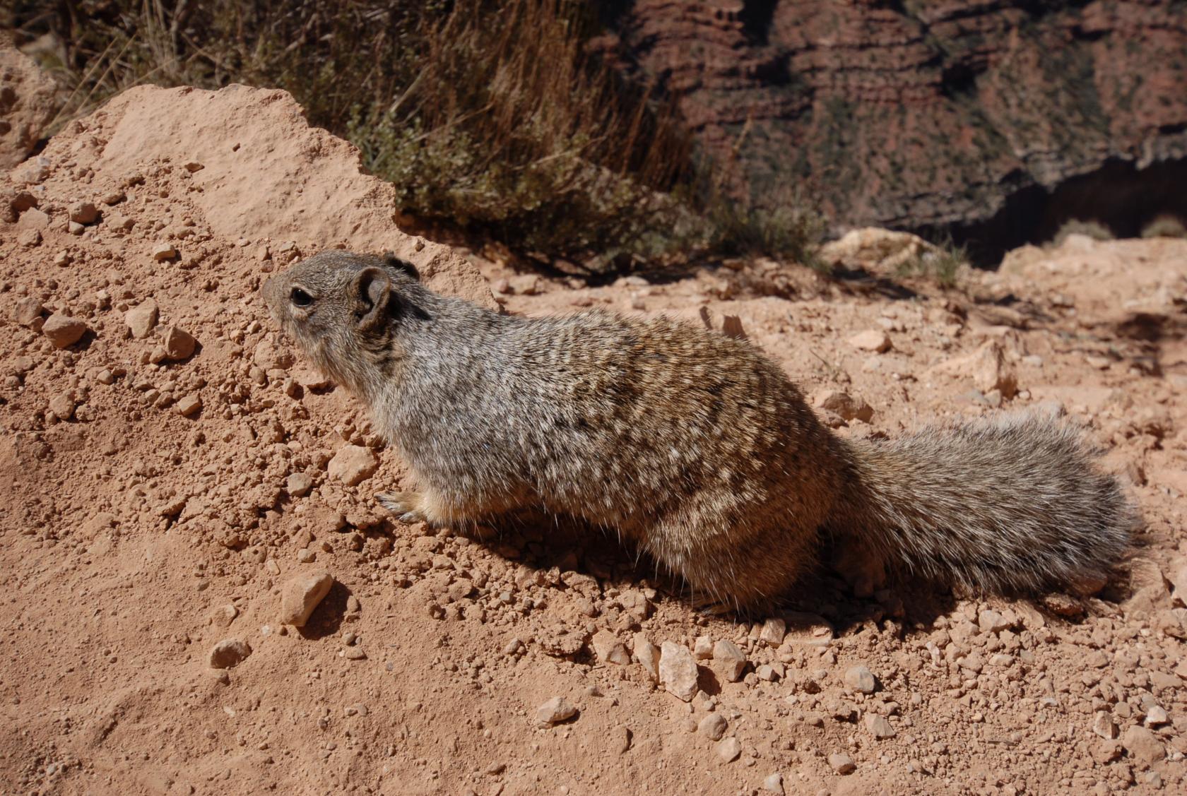
The ground squirrels were none too shy around people.
 DSC_0473.JPG
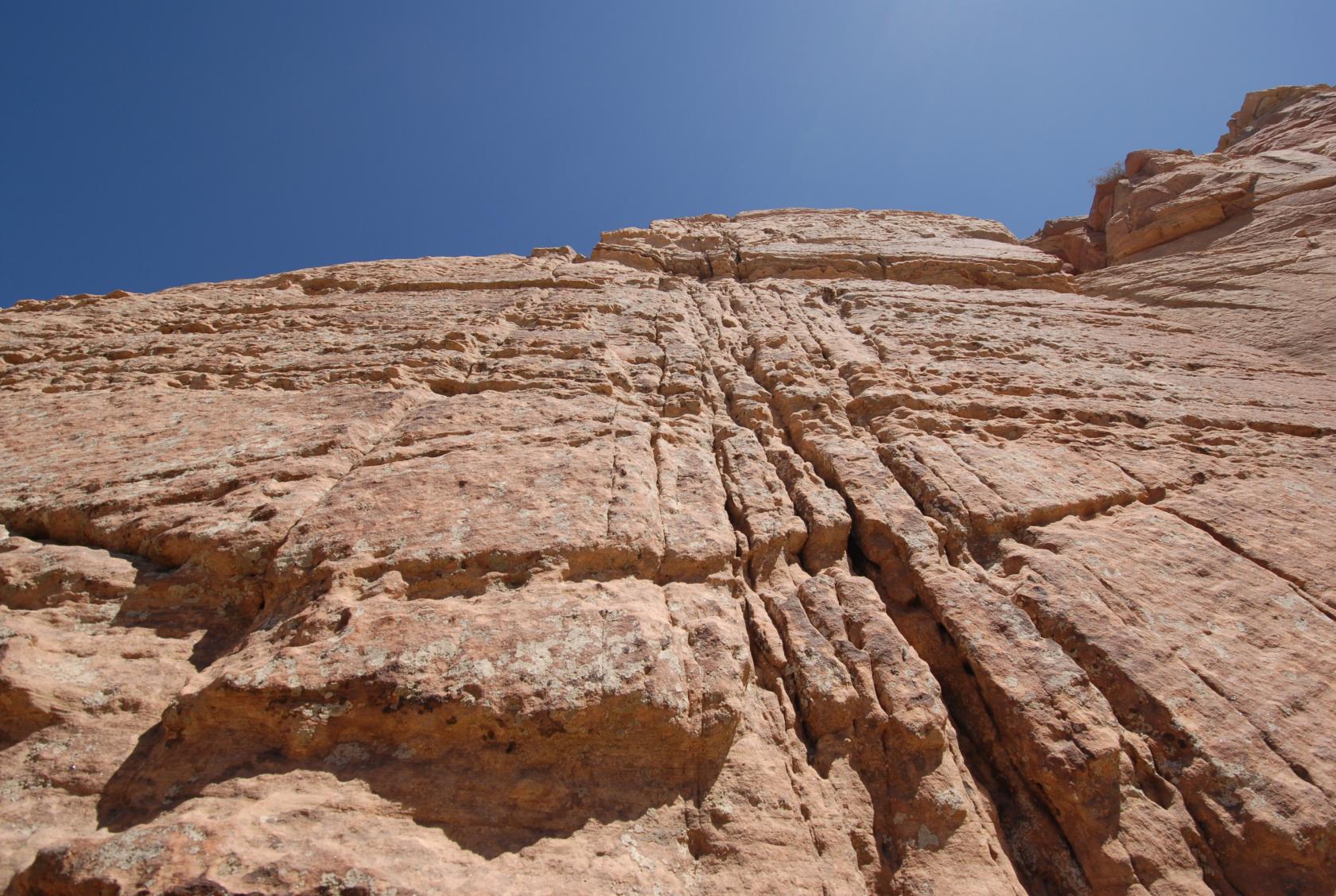
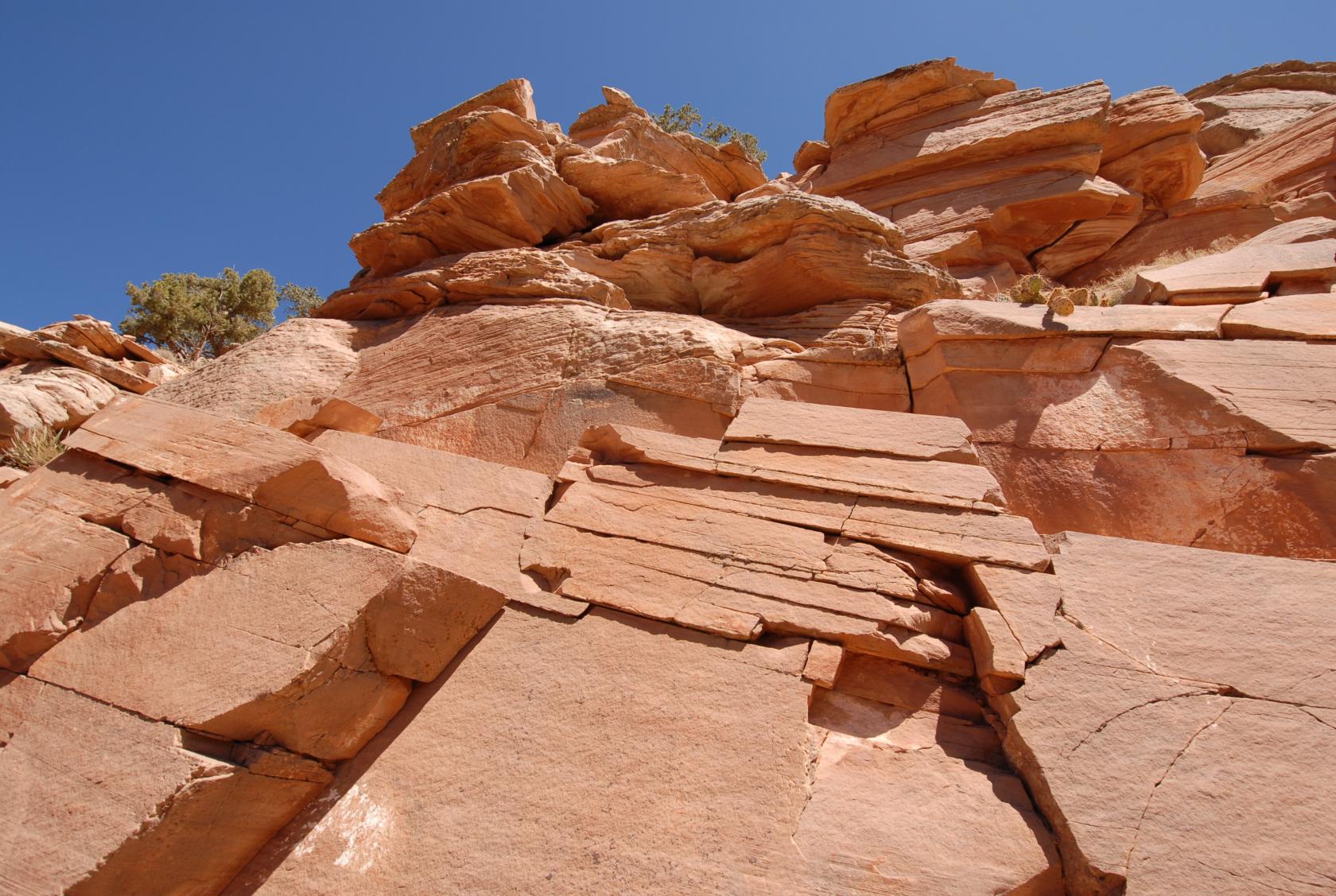
One of the more interesting rock faces. (More pictures
of rocks yet to come.)
 DSC_0476.JPG
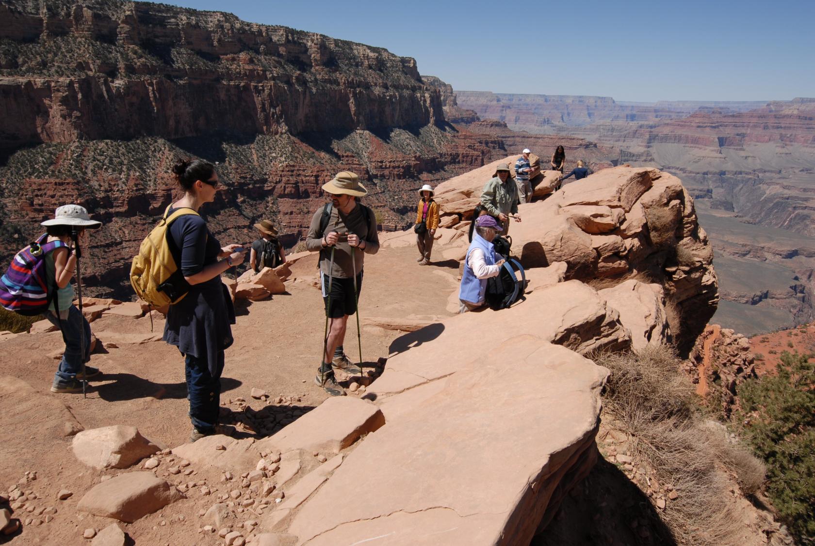
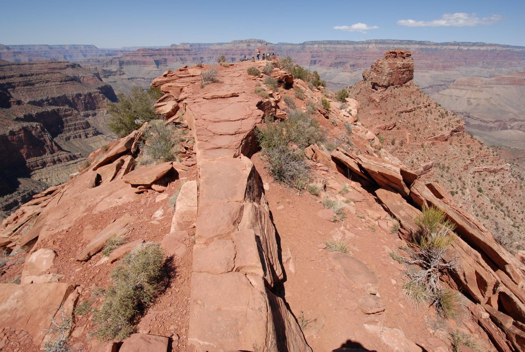
The first stop along the trail is the aptly named "Ooh
Ahh Point." We oohed and ahhed and pointed.
 GrandCanyonPano11.jpg
Great spot for a panorama, too!
 DSC_0486.JPG
Another in the series.
 DSC_0500.JPG
More rocks, as promised.
 DSC_0521.JPG
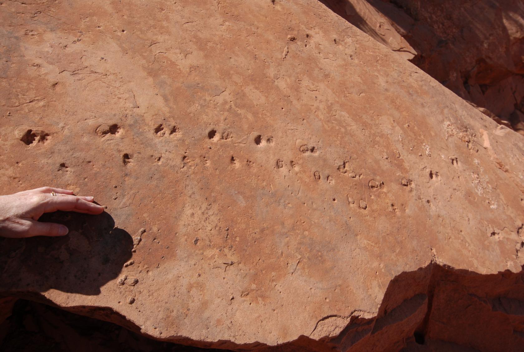
Lizard Tracks
Fossilized lizard tracks.
 DSC_0524.JPG
You didn’t want to stray too far from
this section of the path.
 DSC_0529.JPG
This is where we sat down and had lunch, a good distance
from where they parked the mules.
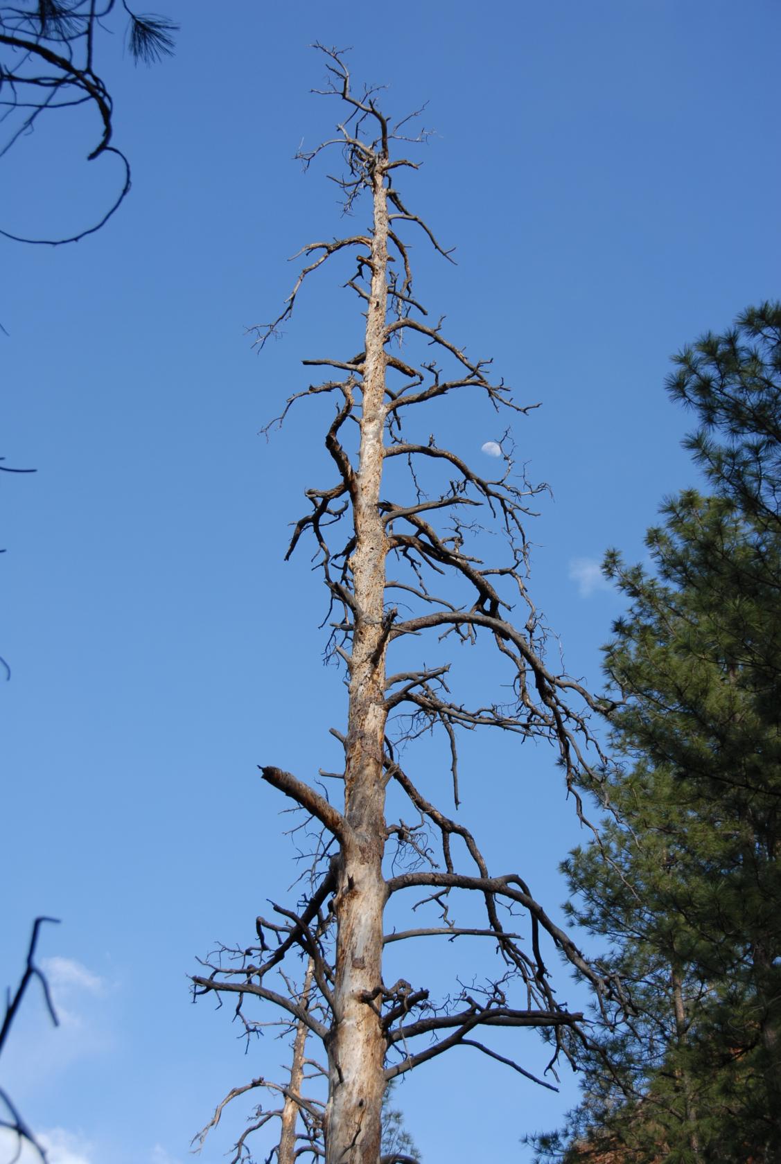
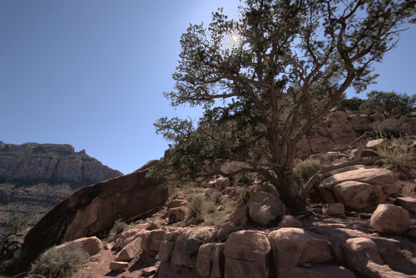 GrandCanyon34.tif
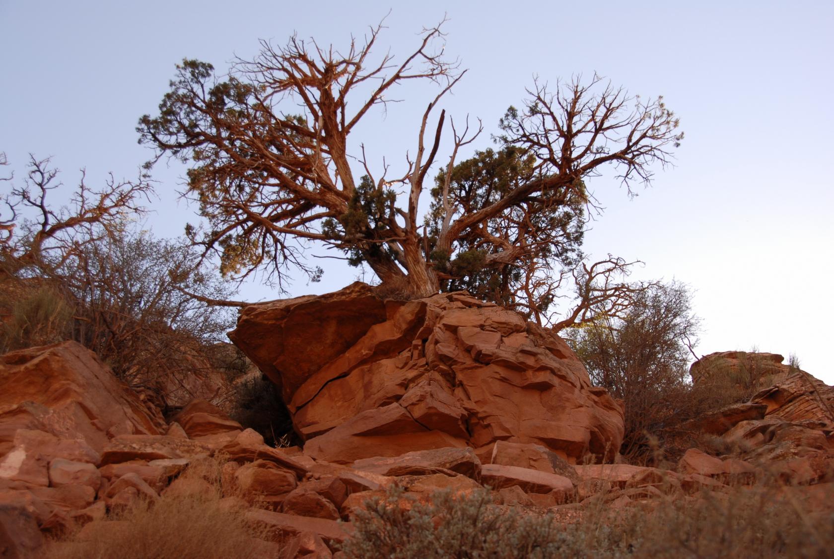
There are some hardy trees in Arizona, to be sure.
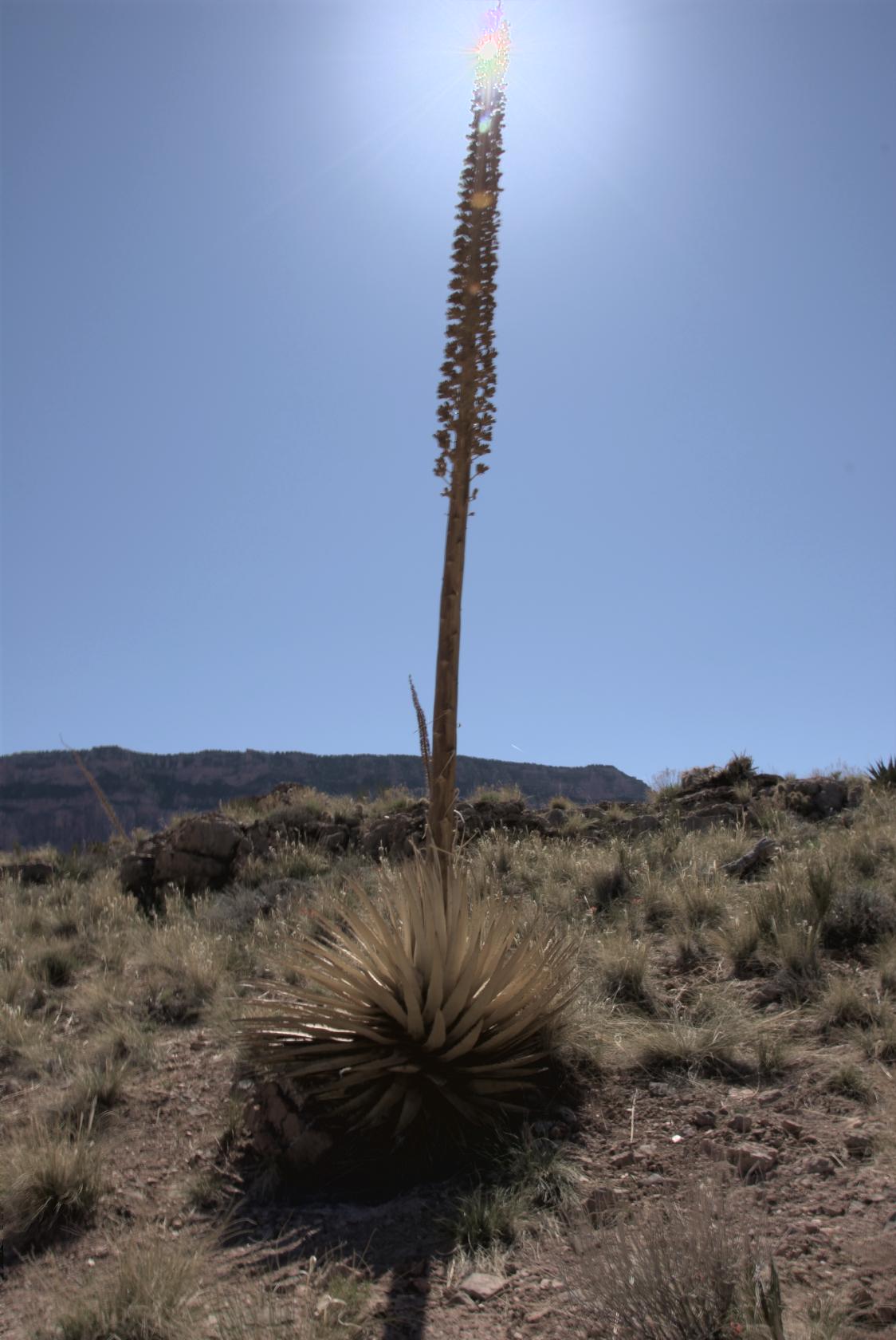
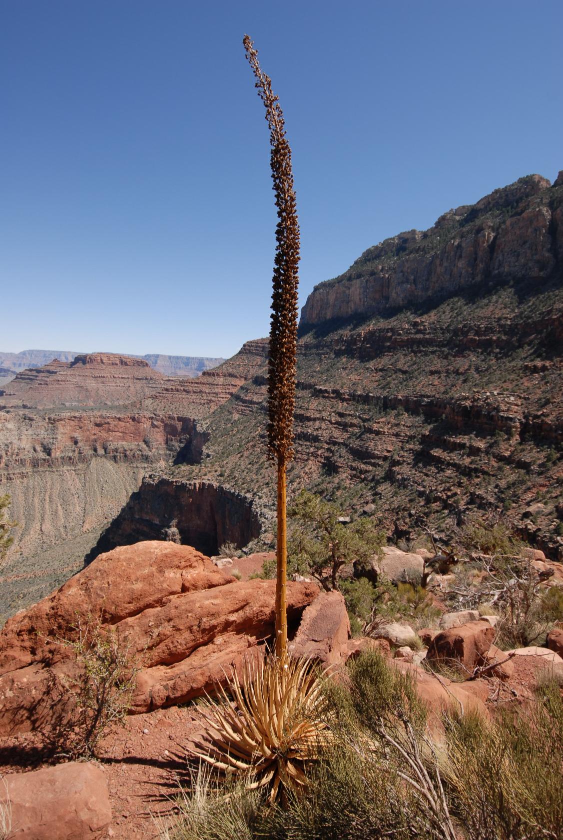 DSC_0545.JPG
One of many century plants we saw.
 DSC_0563.JPG
The last leg of the trail to Skeleton Point.
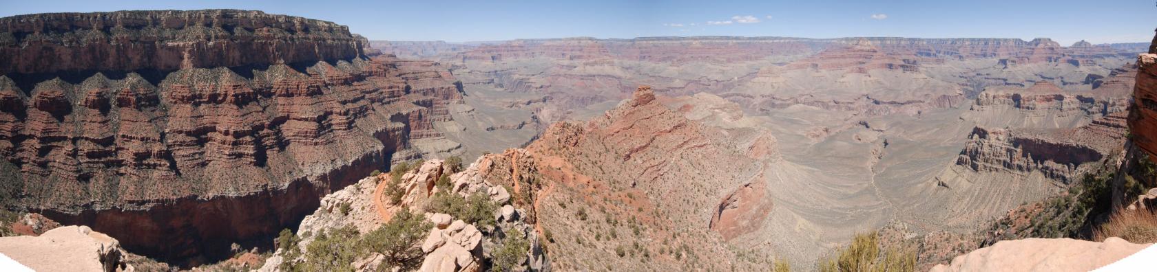
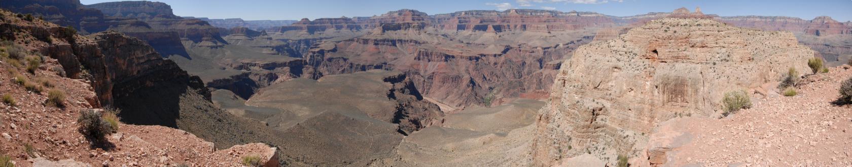 GrandCanyonPano13.jpg
The view from Skeleton Point, with a small section of
the Colorado River visible in the middle of it.
 DSC_0571.JPG
The river gorge has many fingers leading to it from
all parts of the canyon.
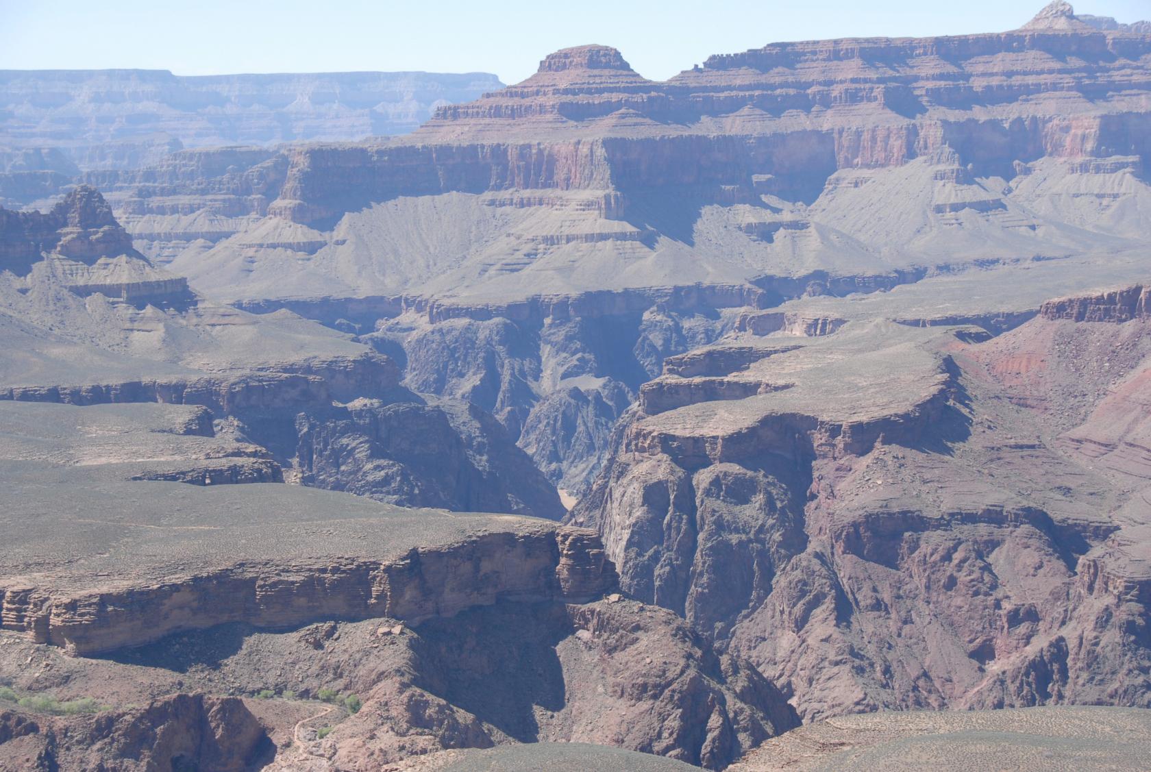
 DSC_0581.JPG
The Colorado looks a lot closer than it really was in
this telephoto shot.
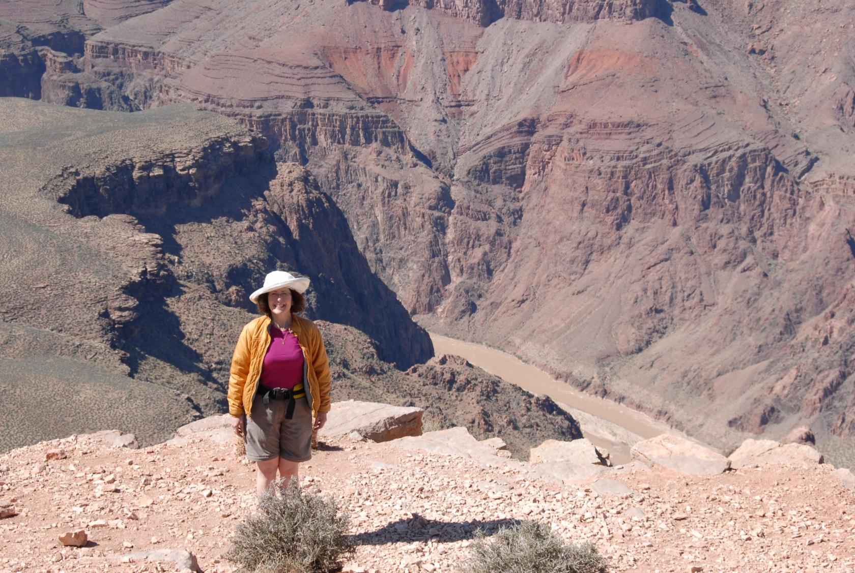
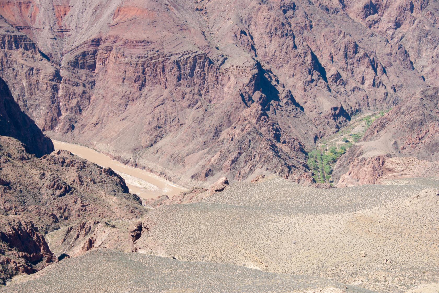 DSC_0569a.jpg
Next to the river is a green area near Phantom Ranch,
reachable in a day but not the same day you hike out(!)
 DSC_0606.JPG
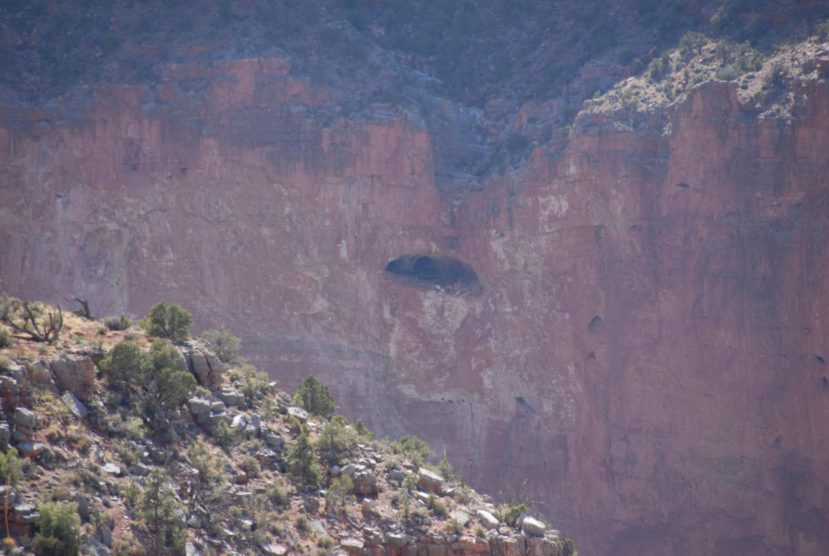
Looks like this cave would be a nice place to live.
A "No Solicitors" sign wouldn’t be needed.
 DSC_0610.JPG
This is the part of the South Kaibab Trail we were told
to avoid on a day hike, leading down to the river gorge.
 GrandCanyon35.tif
Guess this is a sunflower.
 DSC_0603.JPG
A cactus that reminded me of the minions from "Despicable
Me."
 DSC_0625.JPG
Another hardy conifer.
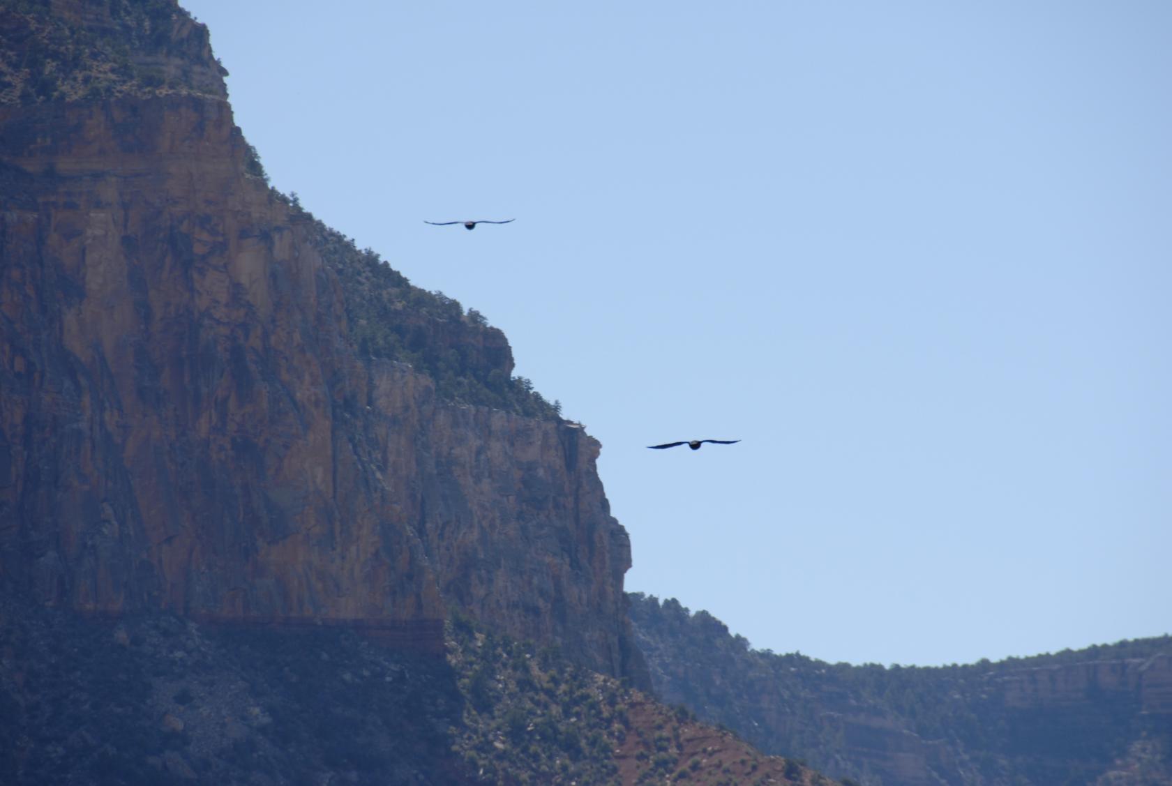 DSC_0574.JPG
We saw a lot of ravens like these, a few vultures, and
one or two hawks.
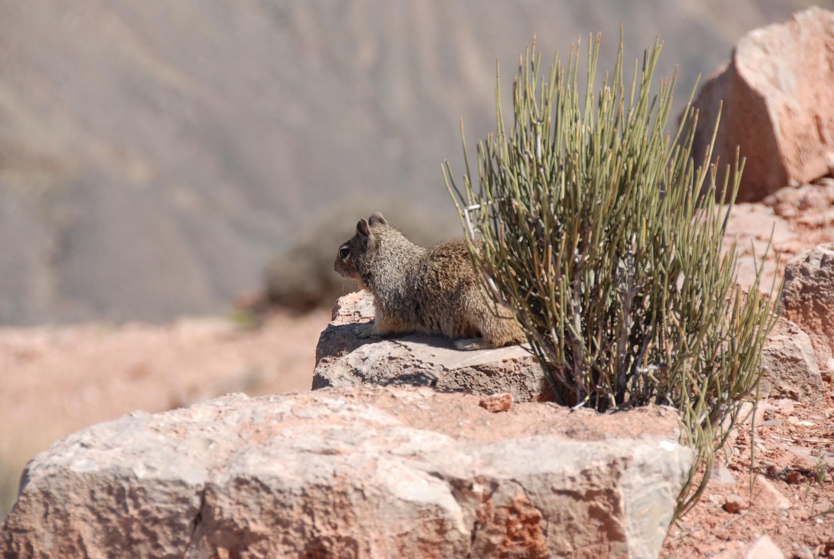 DSC_0578.JPG
Another grand squirrel.
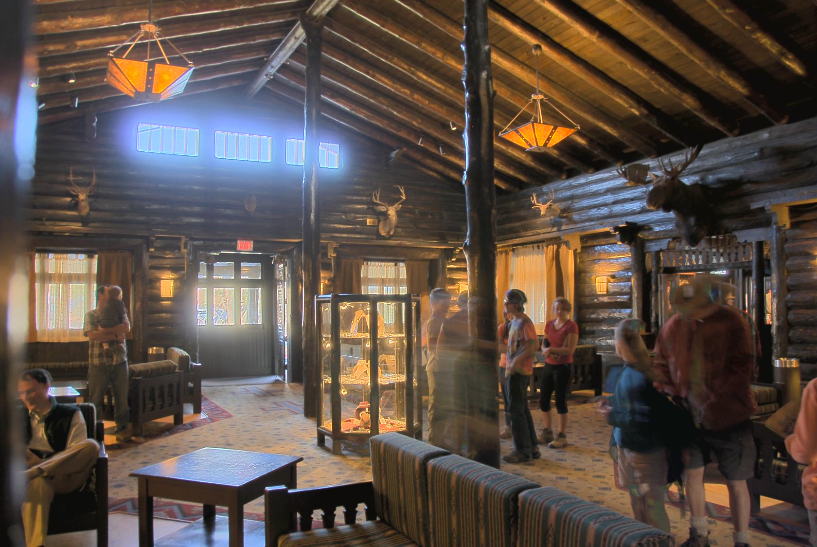 ElTovar1.jpg
El Tovar lodge & restaurant.
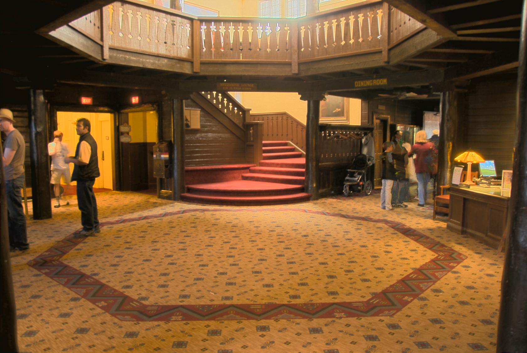 ElTovar3.jpg
They were (over)booked for dinner, so we went elsewhere.
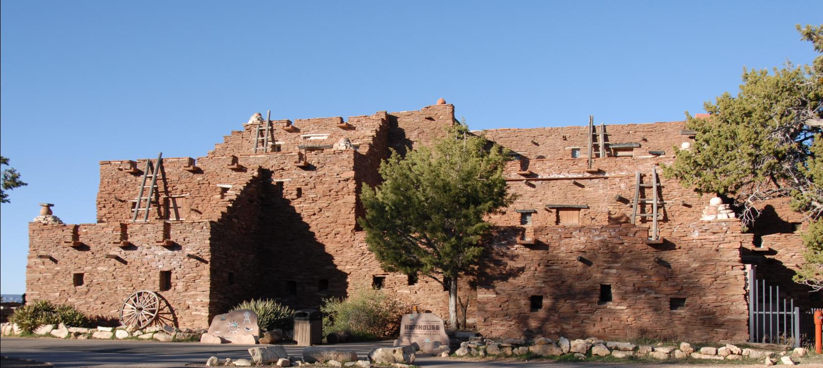 DSC_0650.JPG
Hopi House
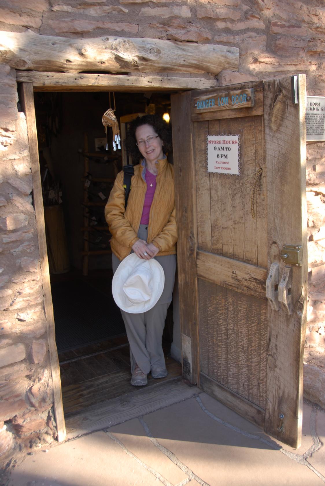 _DSC0719.JPG
The doorway to the Hopi House was perfectly sized for
us.
 _DSC0721.JPG
We’re almost at the end of this series (for this
trip, anyway).
 GrandCanyon41.jpg
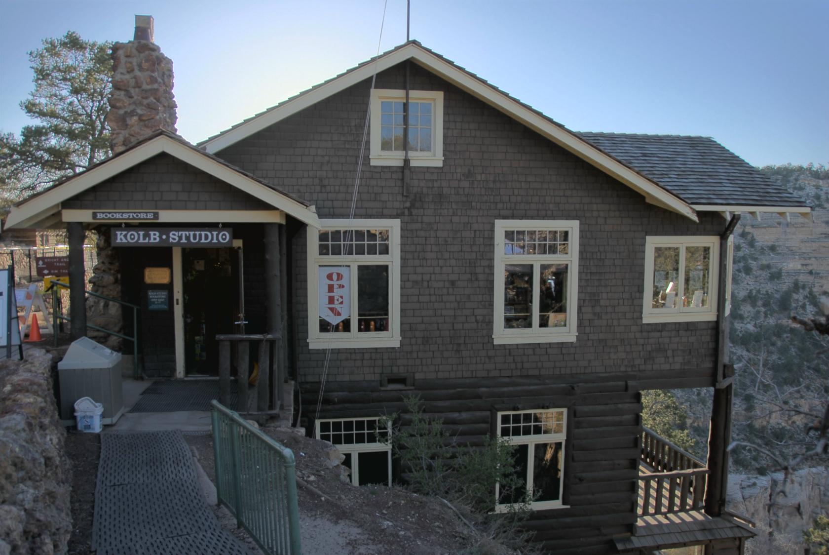
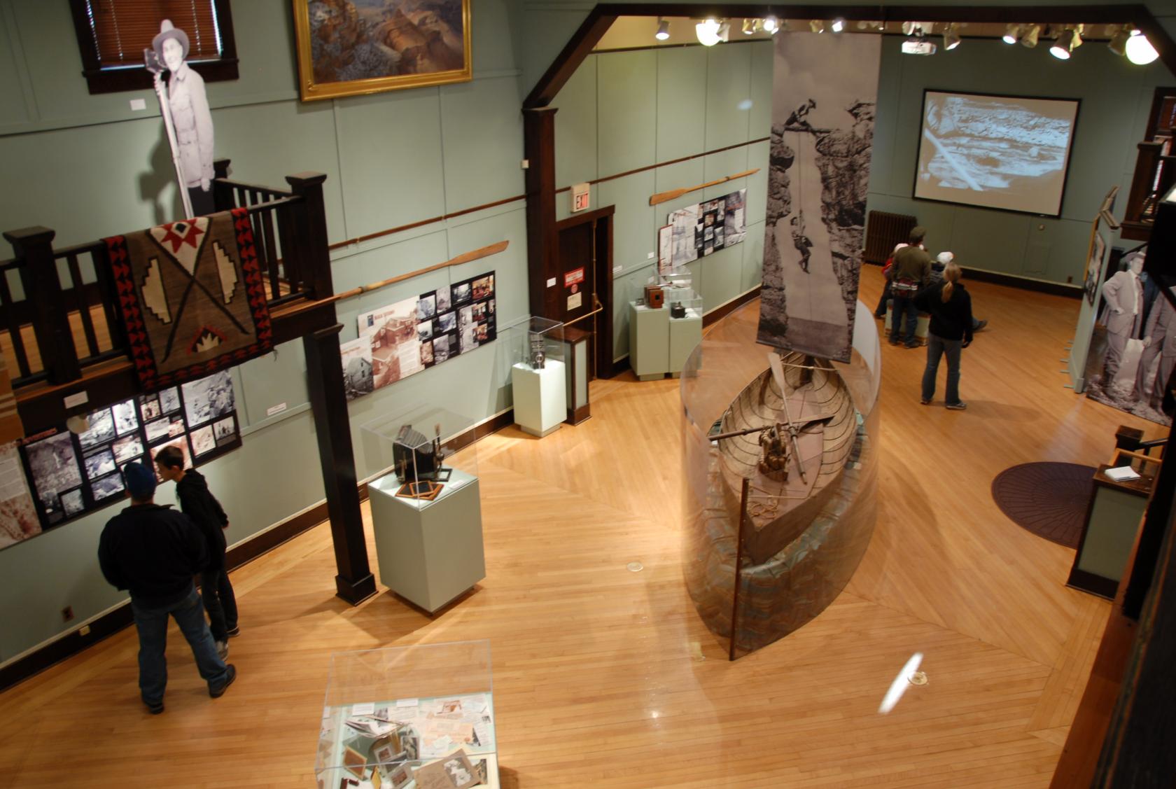
While waiting on our dinner reservation, we checked
out the Kolb photography and artifact exhibit right
on the rim.
 DSC_0757.JPG
The Kolb Brothers were explorers and documenters of
the Grand Canyon, and amongst the first guides to the
area.
 DSC_0762a.jpg
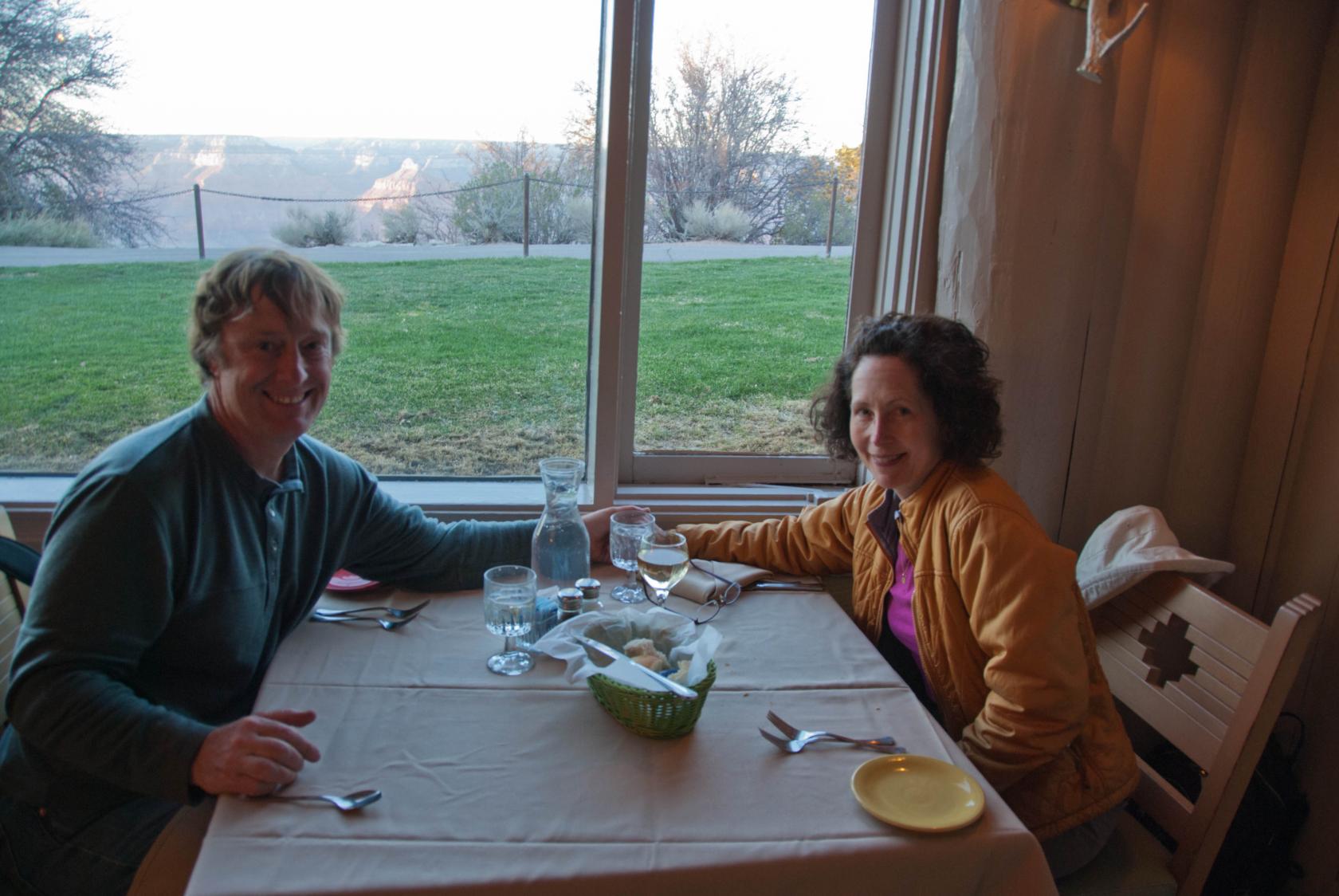
We were both pretty tired and hungry, and ended up ordering
buffalo burgers at the Airzona Room as the sun set out
our window.
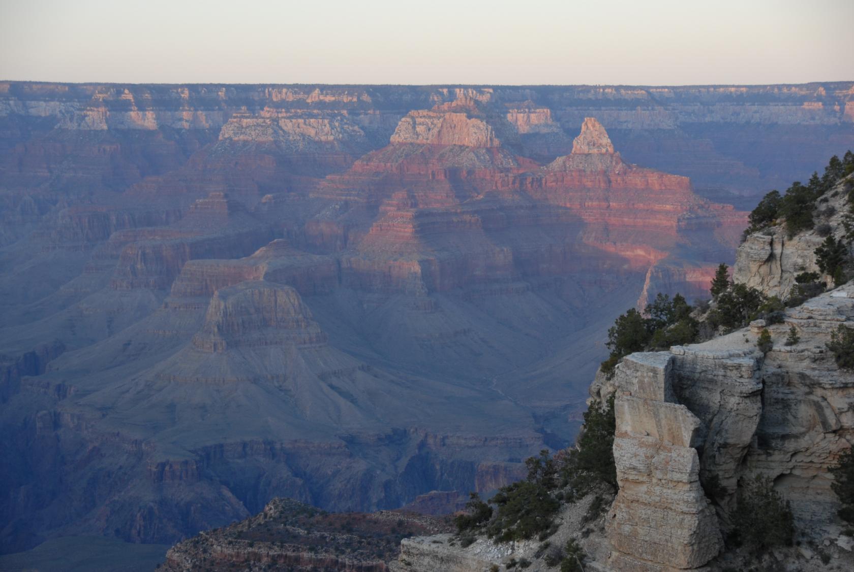 DSC_0764.JPG
The last rays on the canyon walls
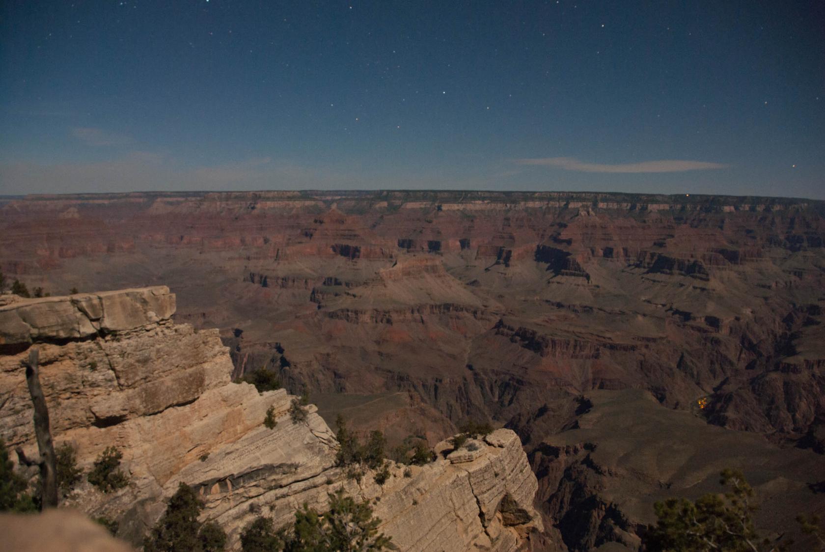 DSC_0774a.jpg
Night Shot
This is a night shot that went for about 20 seconds
on a little tripod I brought. Campfires are visible
in the lower right, though I didn’t notice them
with my naked eye at the time.
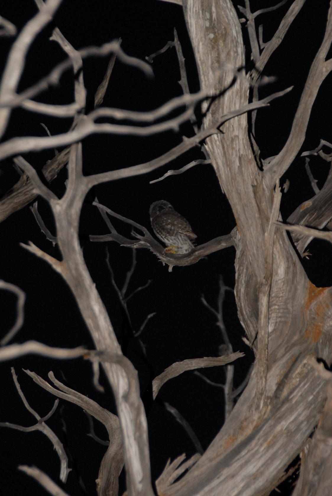 DSC_0769.JPG
We think this was a Mexican Spotted Owl, several of
which were making friendly noises as we walked by in
the dark.
 DSC_0775.JPG
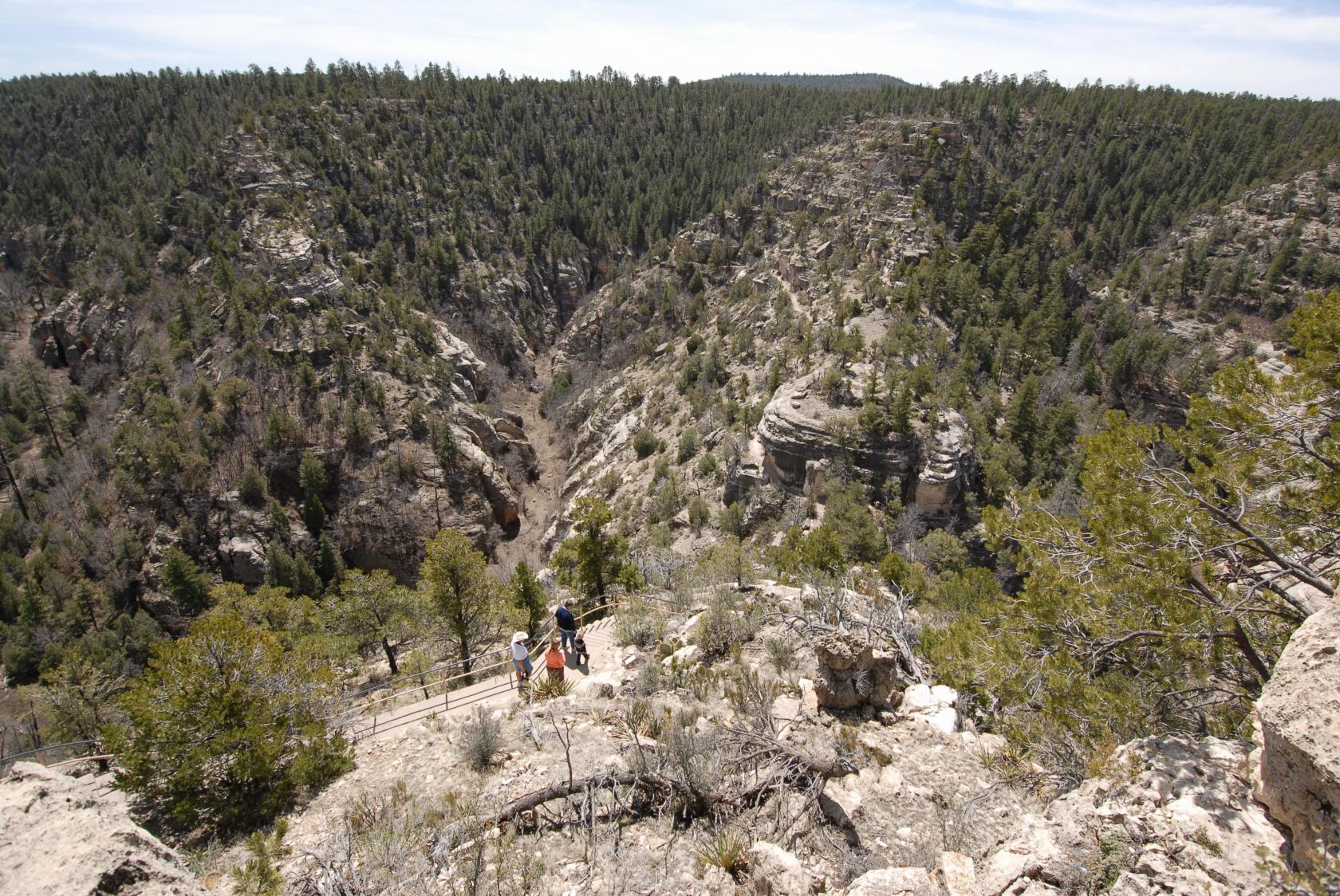
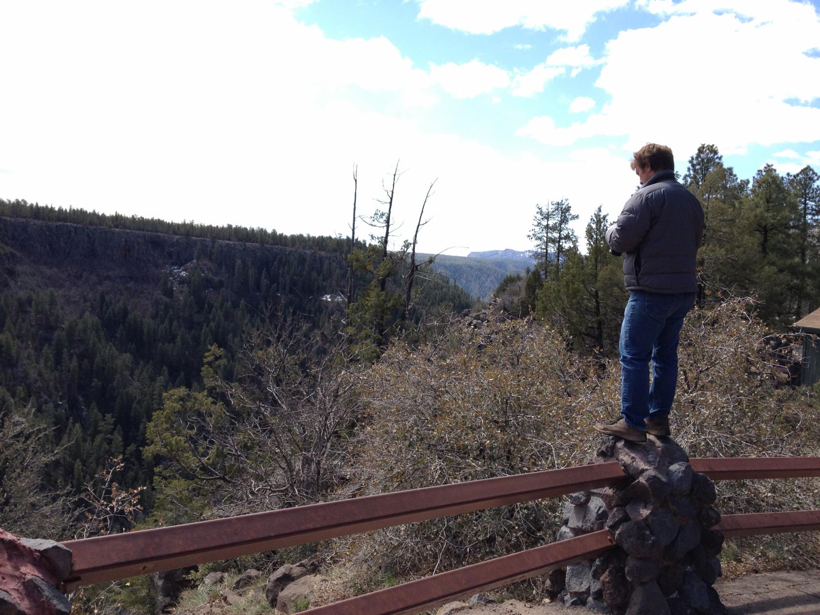
Our penultimate day, we returned to Meteor Crater, stopping
here at Walnut Canyon National Monument just east of
Flagstaff.
 DSC_0926.JPG
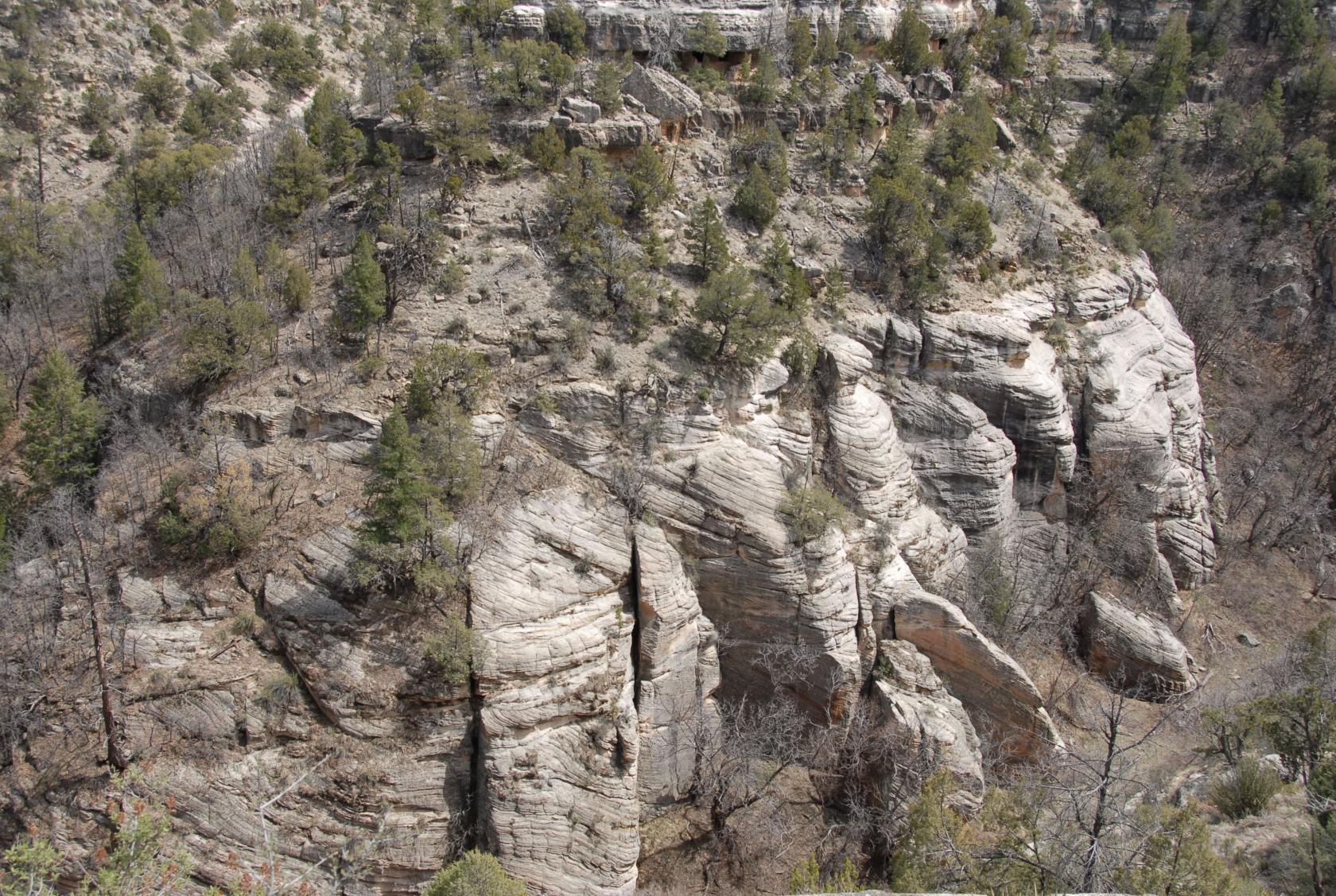
The rocks in the canyon were originally seaside sand
dunes, so the geologists claim.
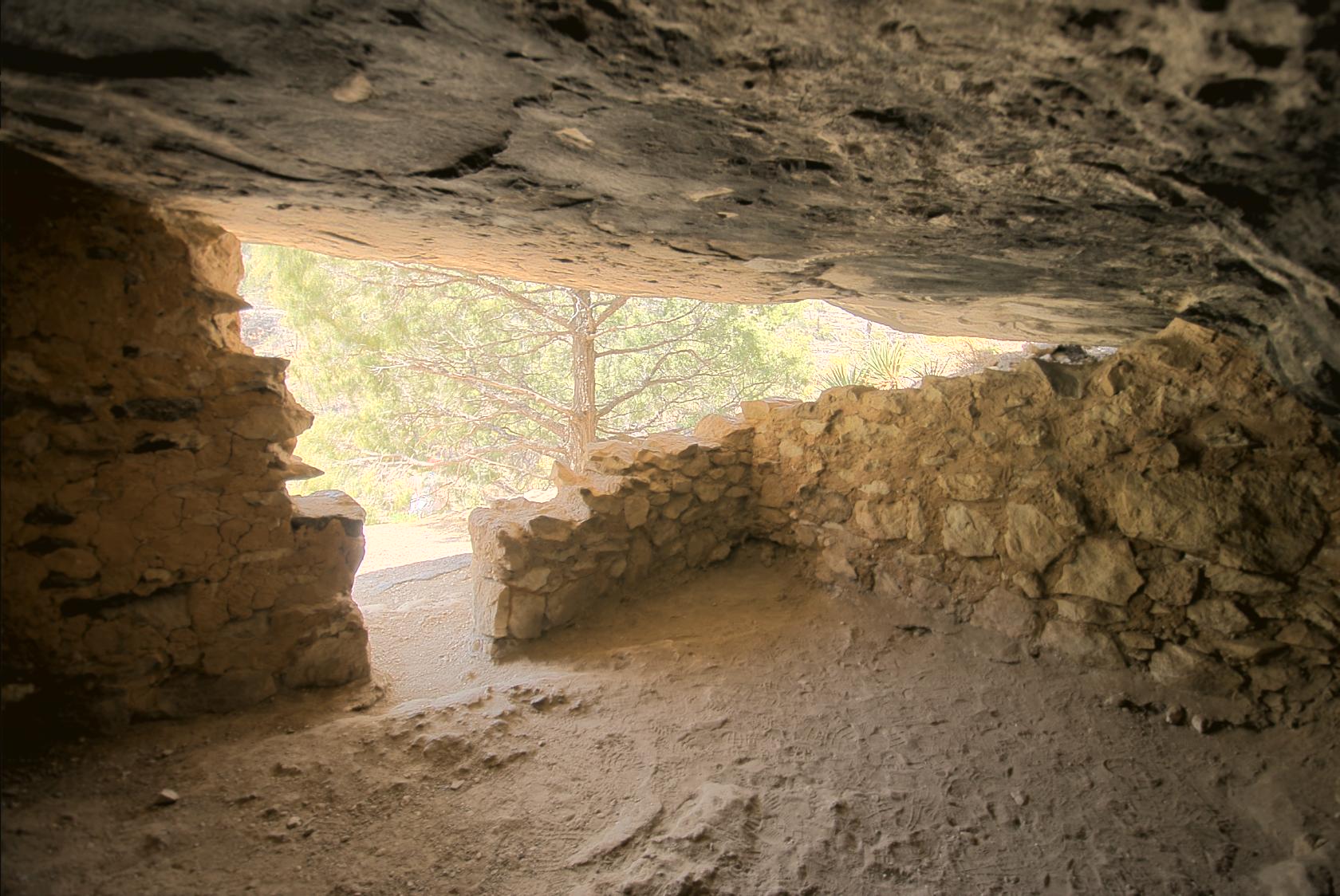
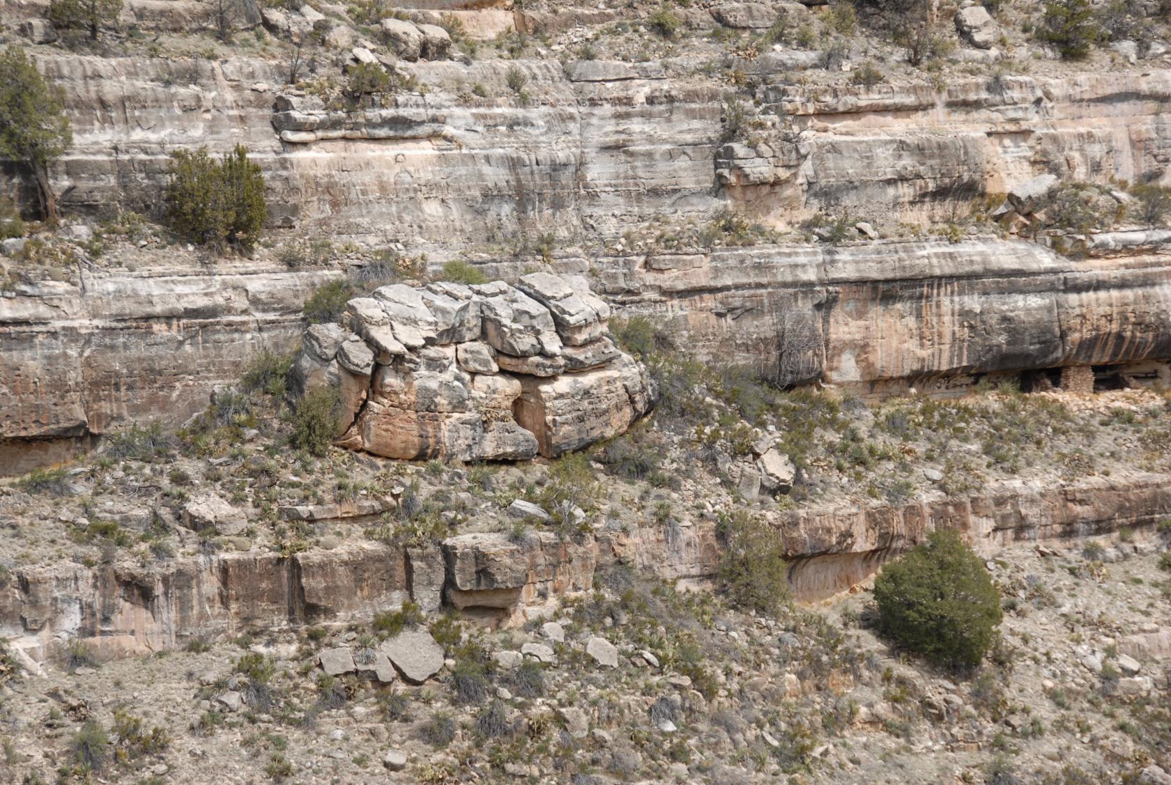
 WalnutCanyon3.jpg
The most interesting part of course are the abandoned
cliff dwellings, built by the Sinagua somewhere between
500 and 1400 A.D.
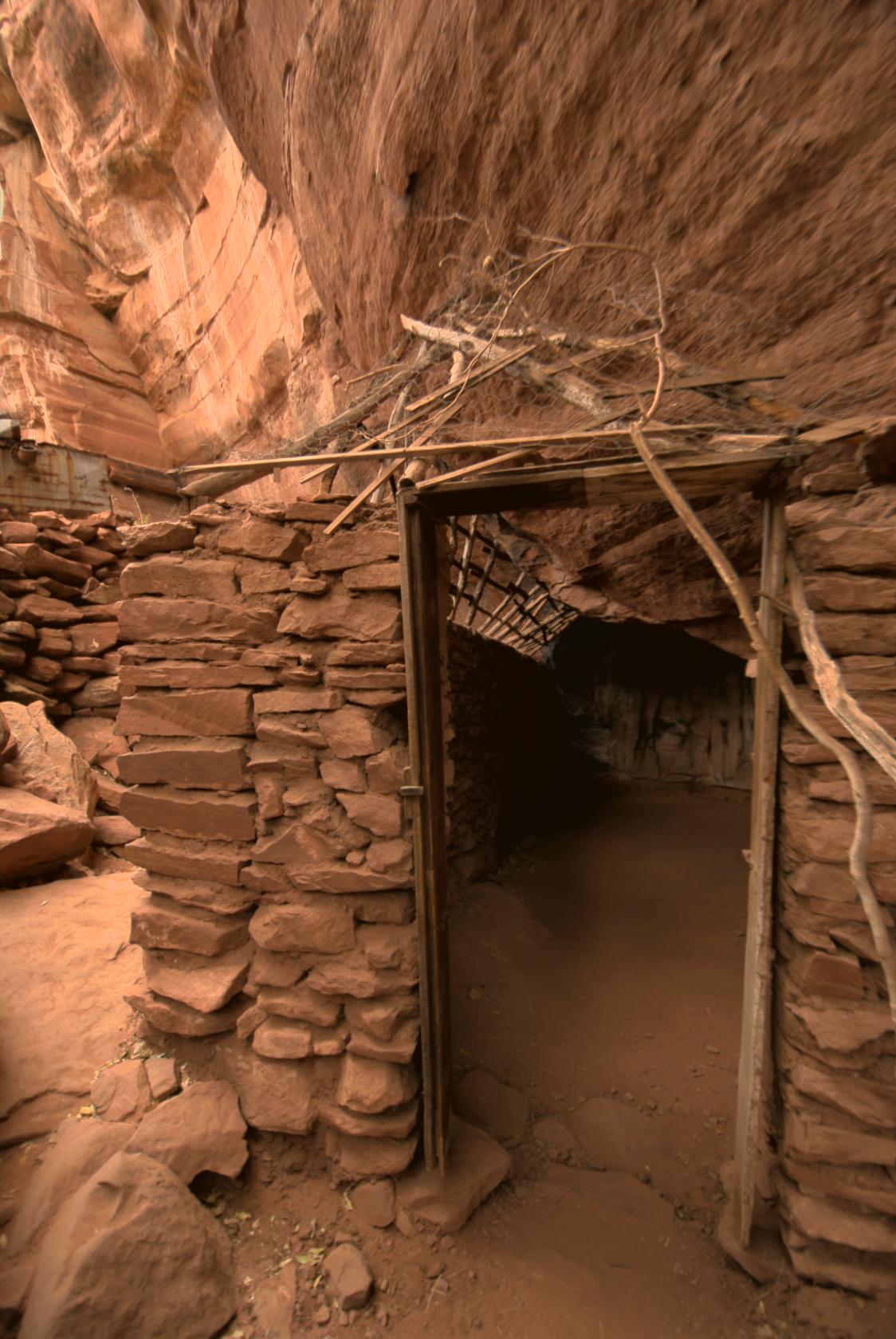
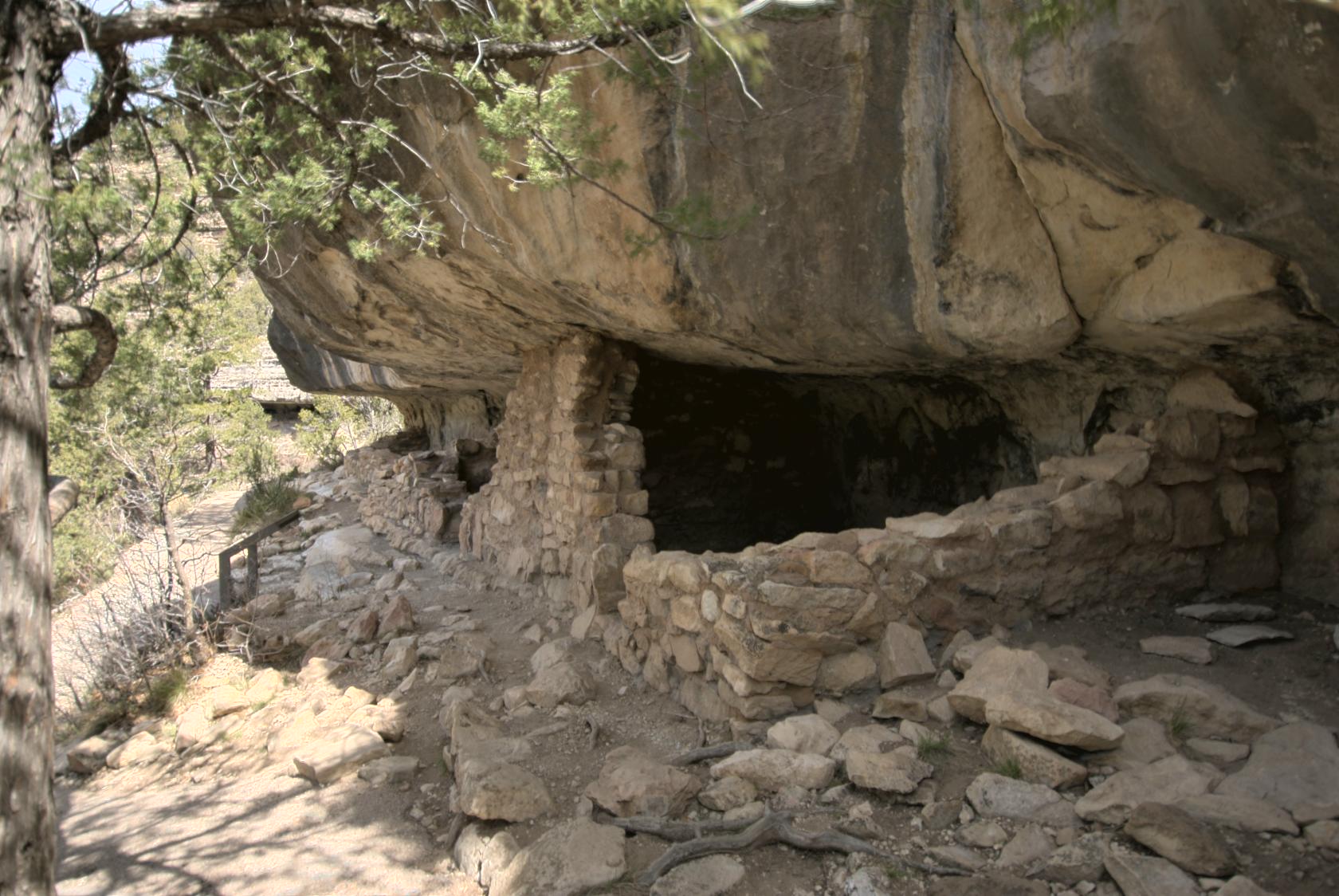
 WalnutCanyon2.jpg
The original walls extended to the overhang in most
cases, and were fully intact at a few sites.
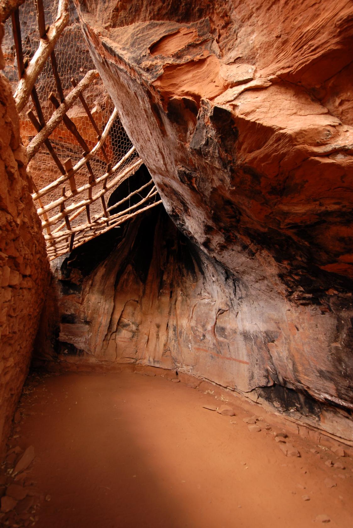
 DSC_0884.JPG
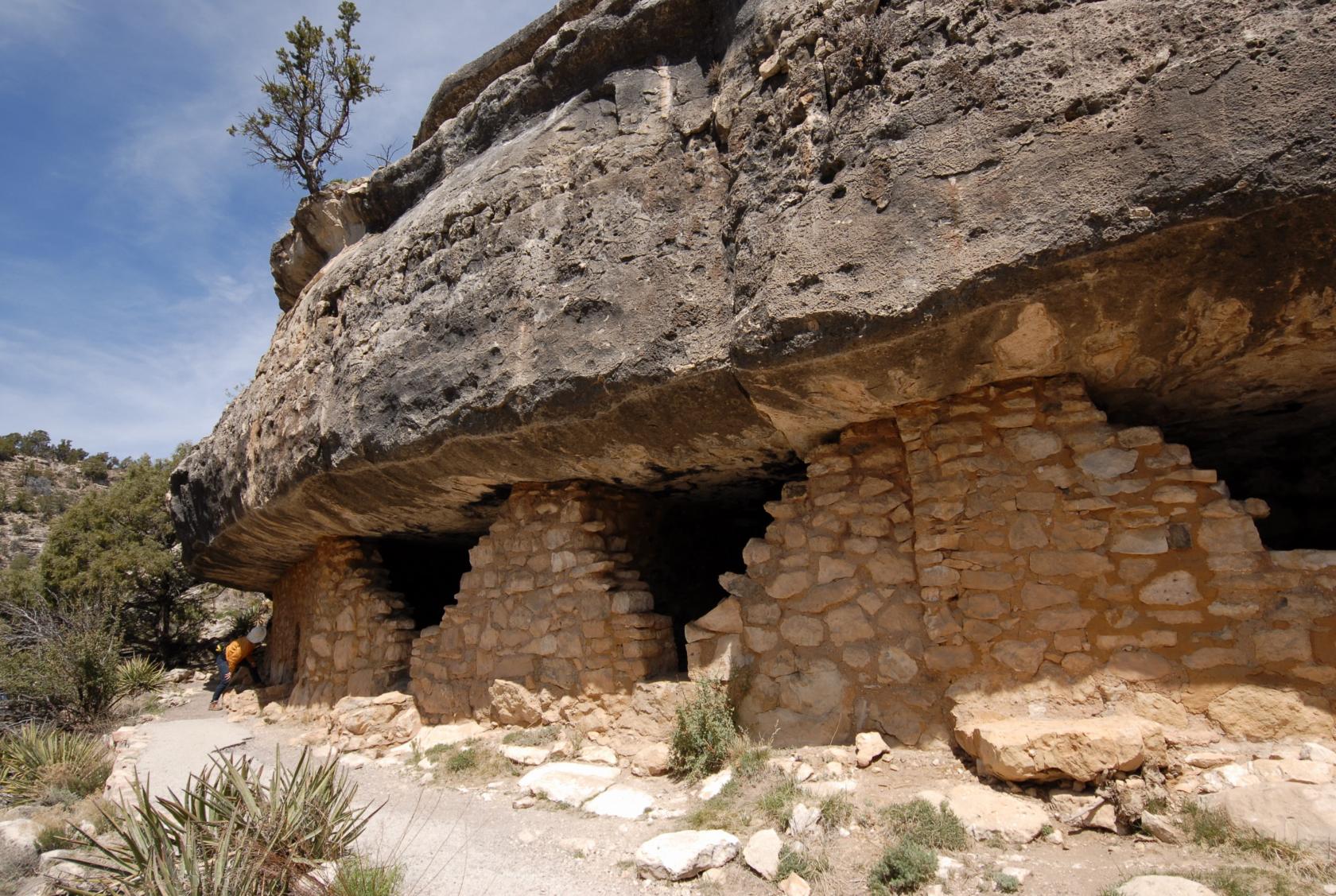
Think modern apartments without all the amenities.
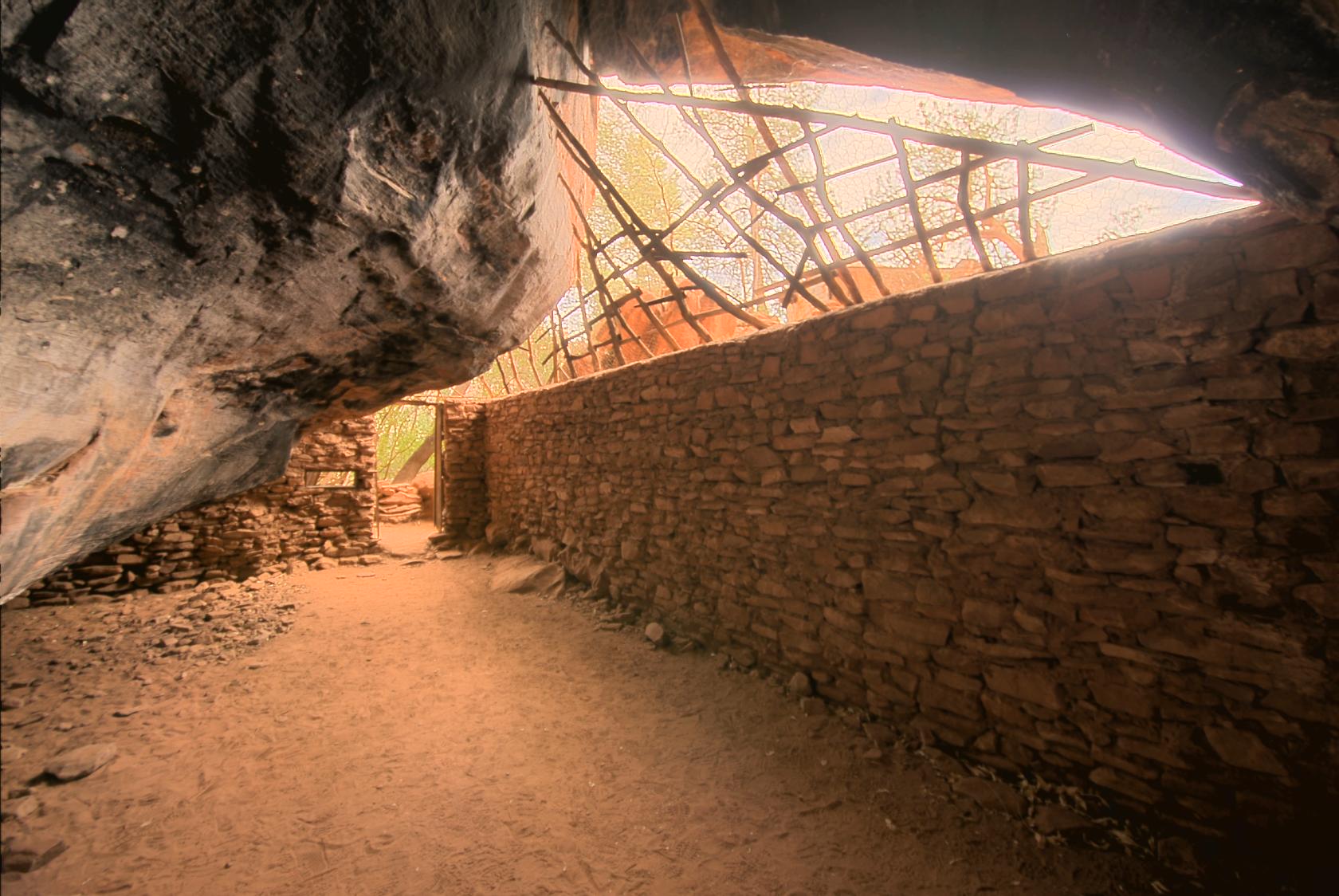
 WalnutCanyon11.jpg
Still, pretty cozy
 WalnutCanyon14.jpg
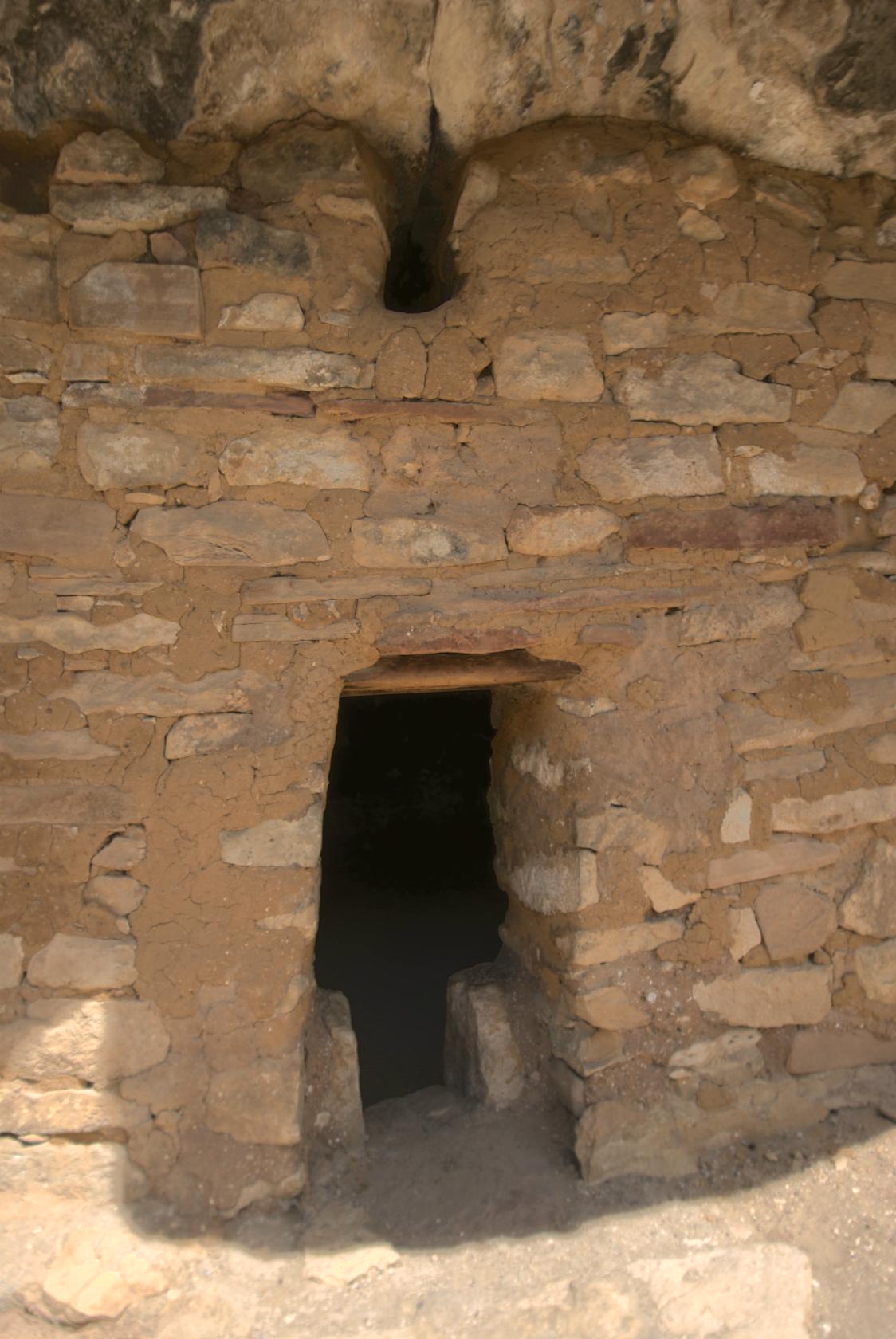
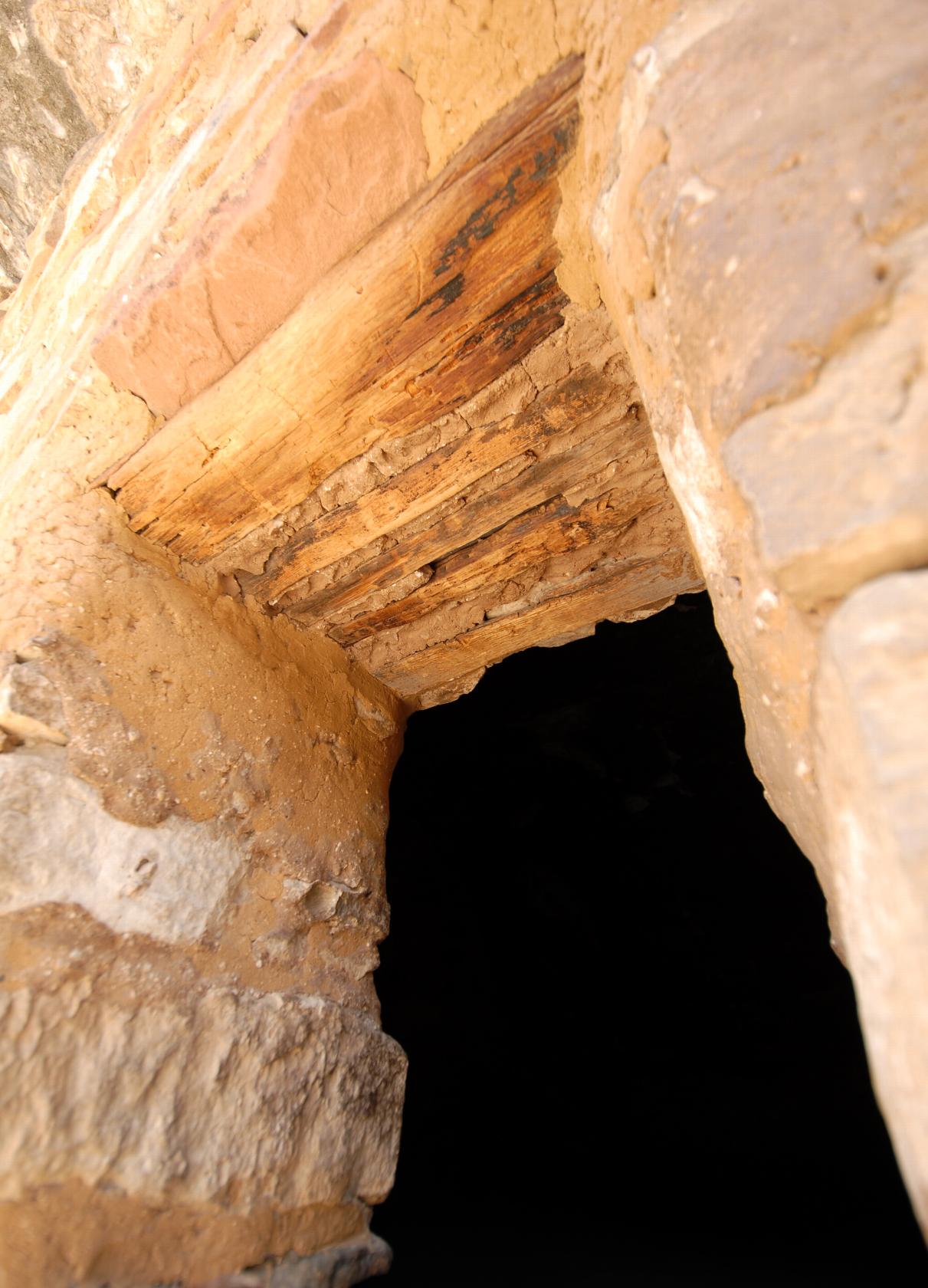
An intact doorway with smoke vent at the top
 DSC_0920.JPG
The lintel was made of wood and mortar.
 DSC_0922.JPG
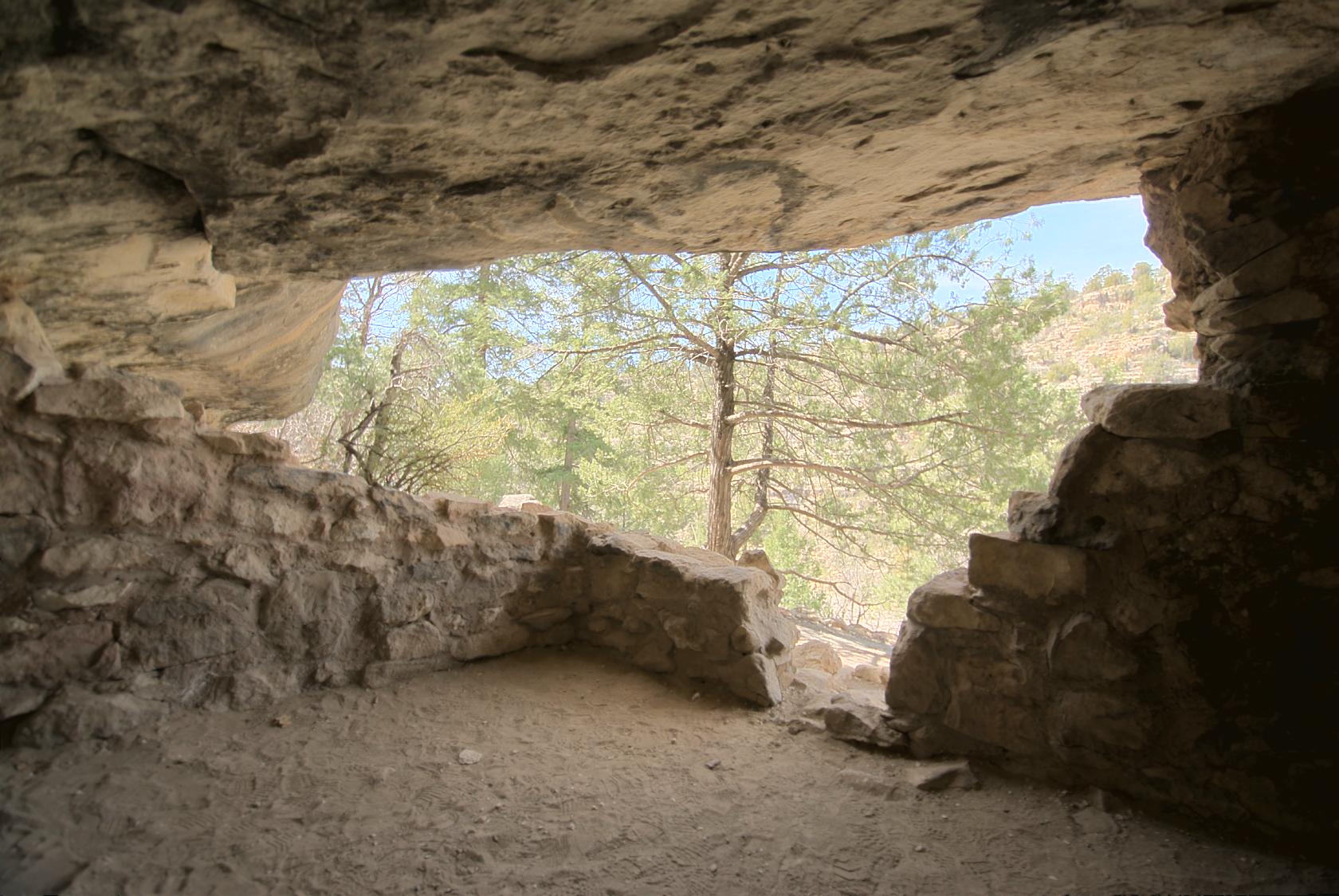
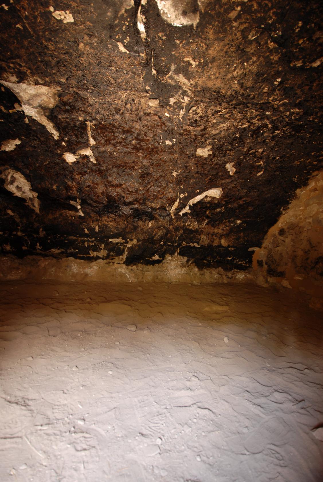
View of the inside, lit by the doorway and vent hole
 DSC_0927.JPG
Eliz postulated that a dwelling was buried behind this
rock slide and might be in pristine state, like the
others before raiders had their way.
 DSC_0944.JPG
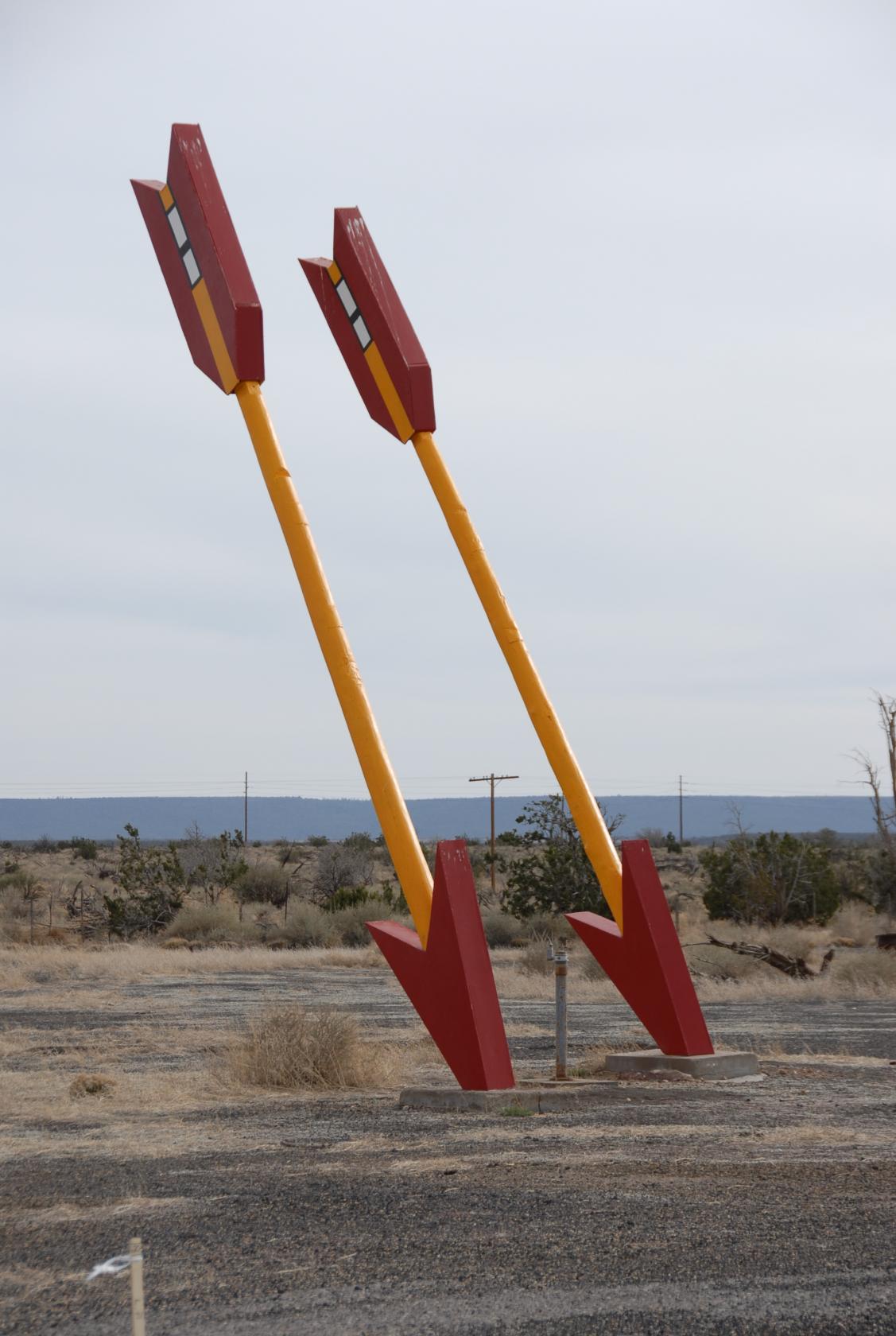
Heading back from Meteor Crater, we stopped this time
at the abandoned "Twin Arrows," really just
a gas station and convenience store.
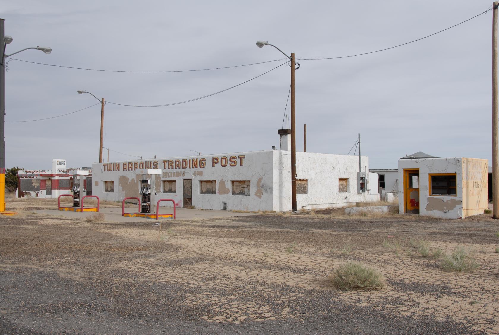 DSC_0943.JPG
Not so convenient anymore.
 DSC_0945.JPG
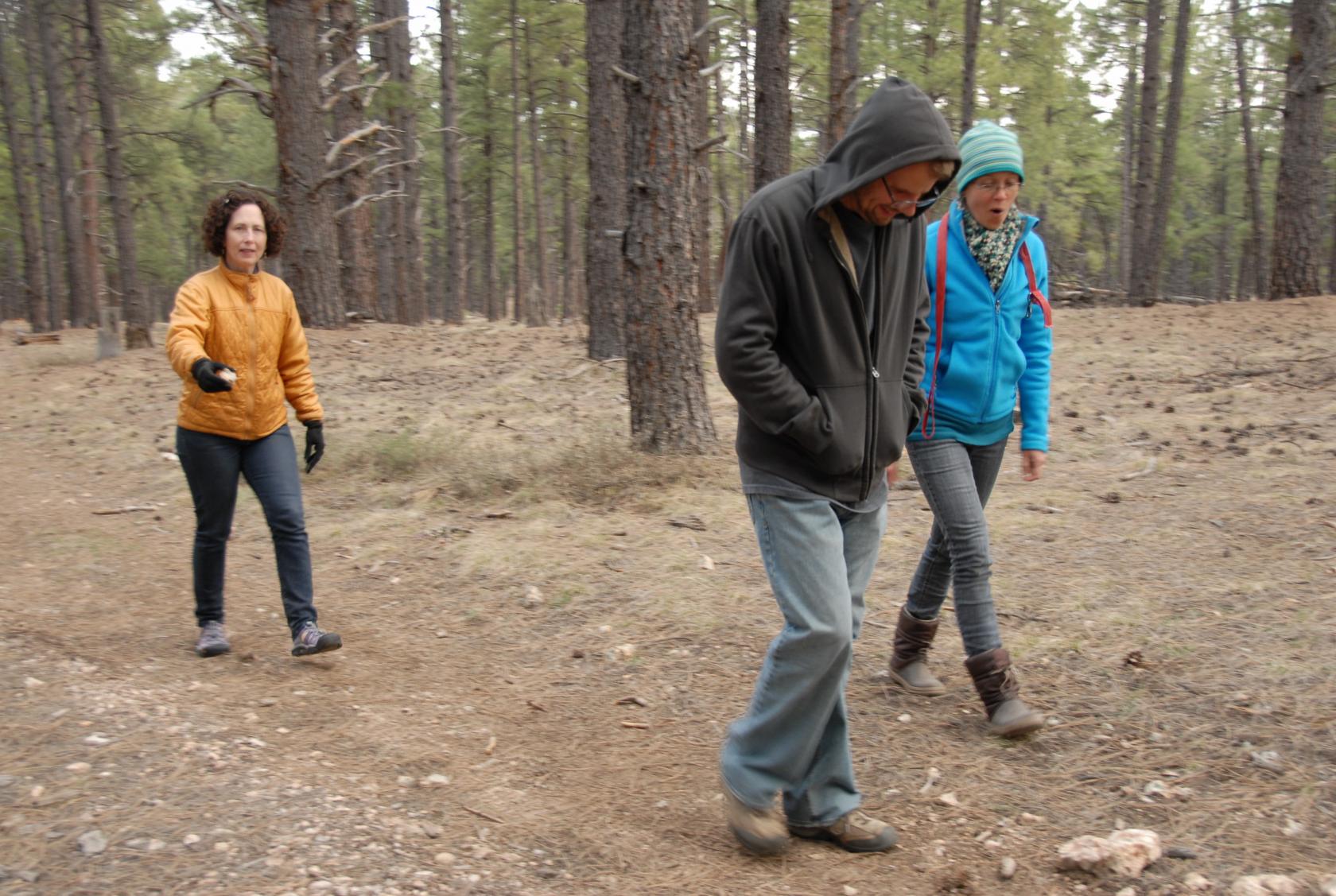
In the evening, we joined our hosts Rob & Aude on
their twice–daily walk with their dog.
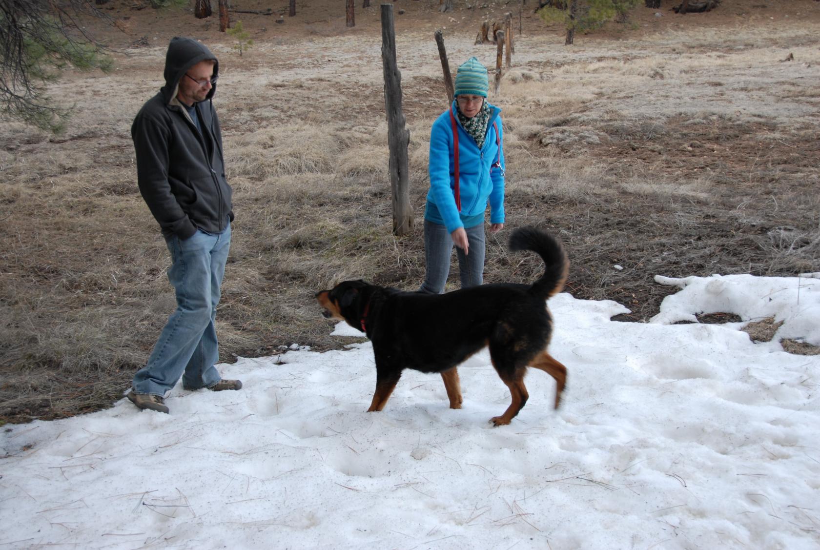 DSC_0957.JPG
Sienna loved rolling in and eating the snow, which was
still hanging around from a few weeks ago.
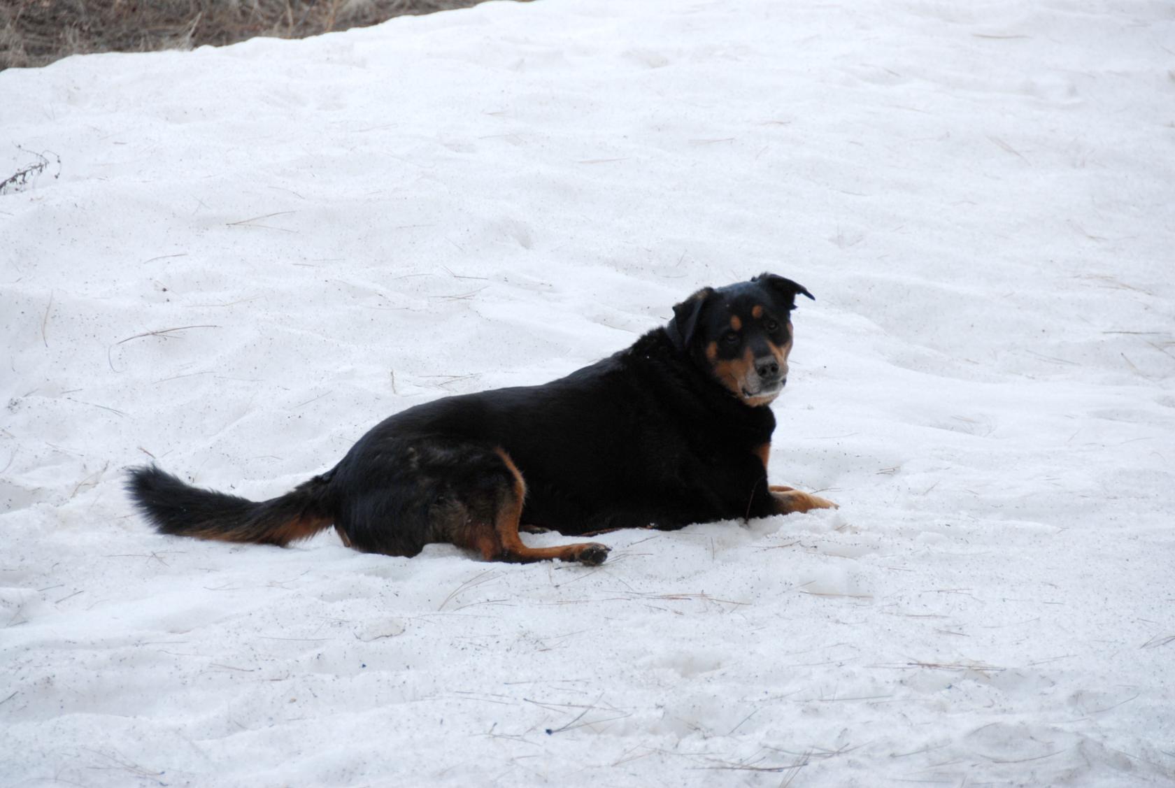 DSC_0955.JPG
Good contrast.
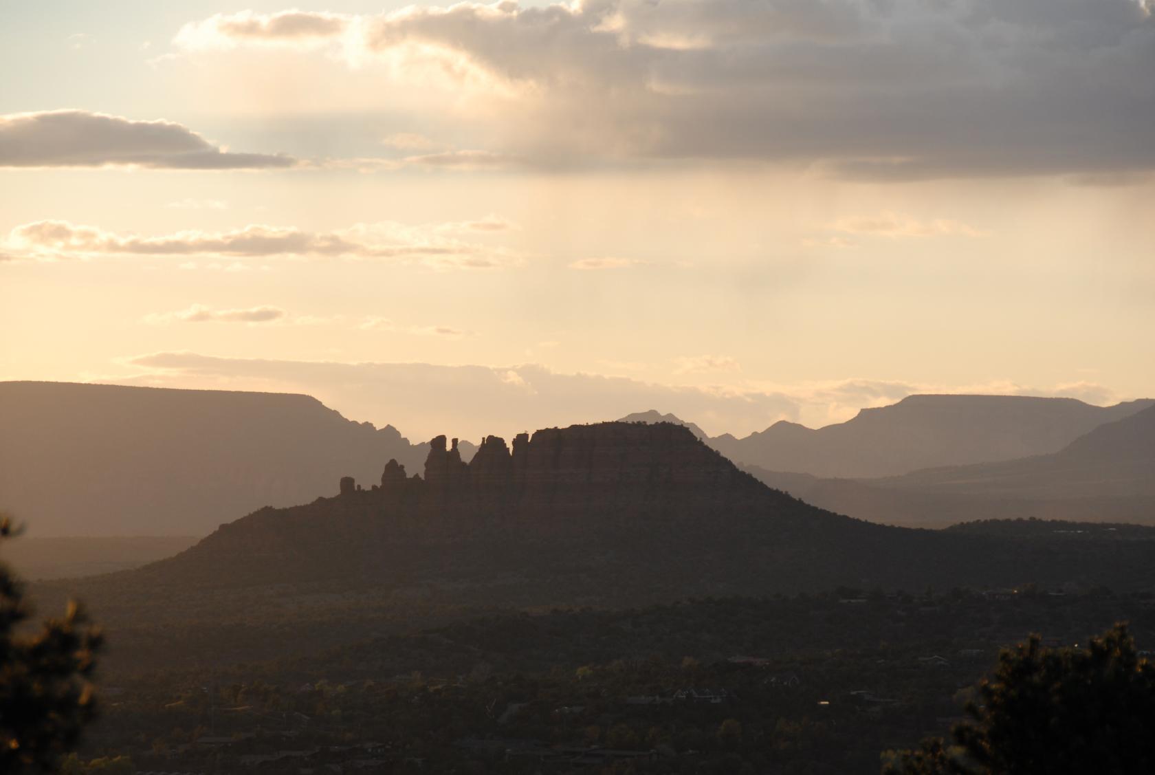
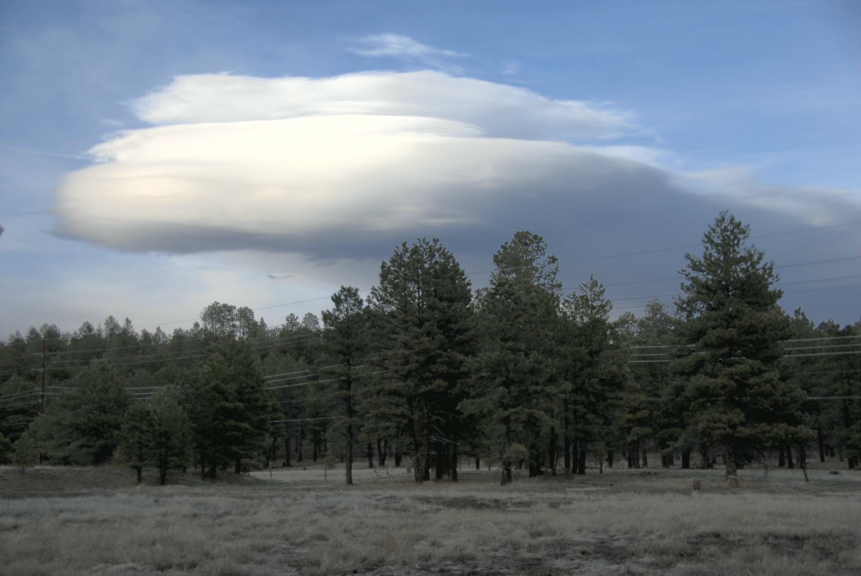 FlagstaffClouds1.jpg
There were some awesome clouds that day.
 DSC_1001.JPG
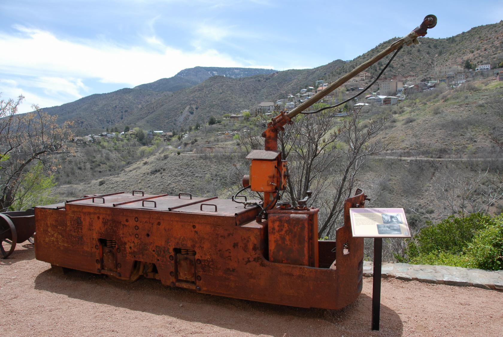
Electric Tram
Following a fond farewell to our fabulous hosts, we
headed south through Sedona again, this time stopping
in the ghost town of Jerome.
 DSC_0971.JPG
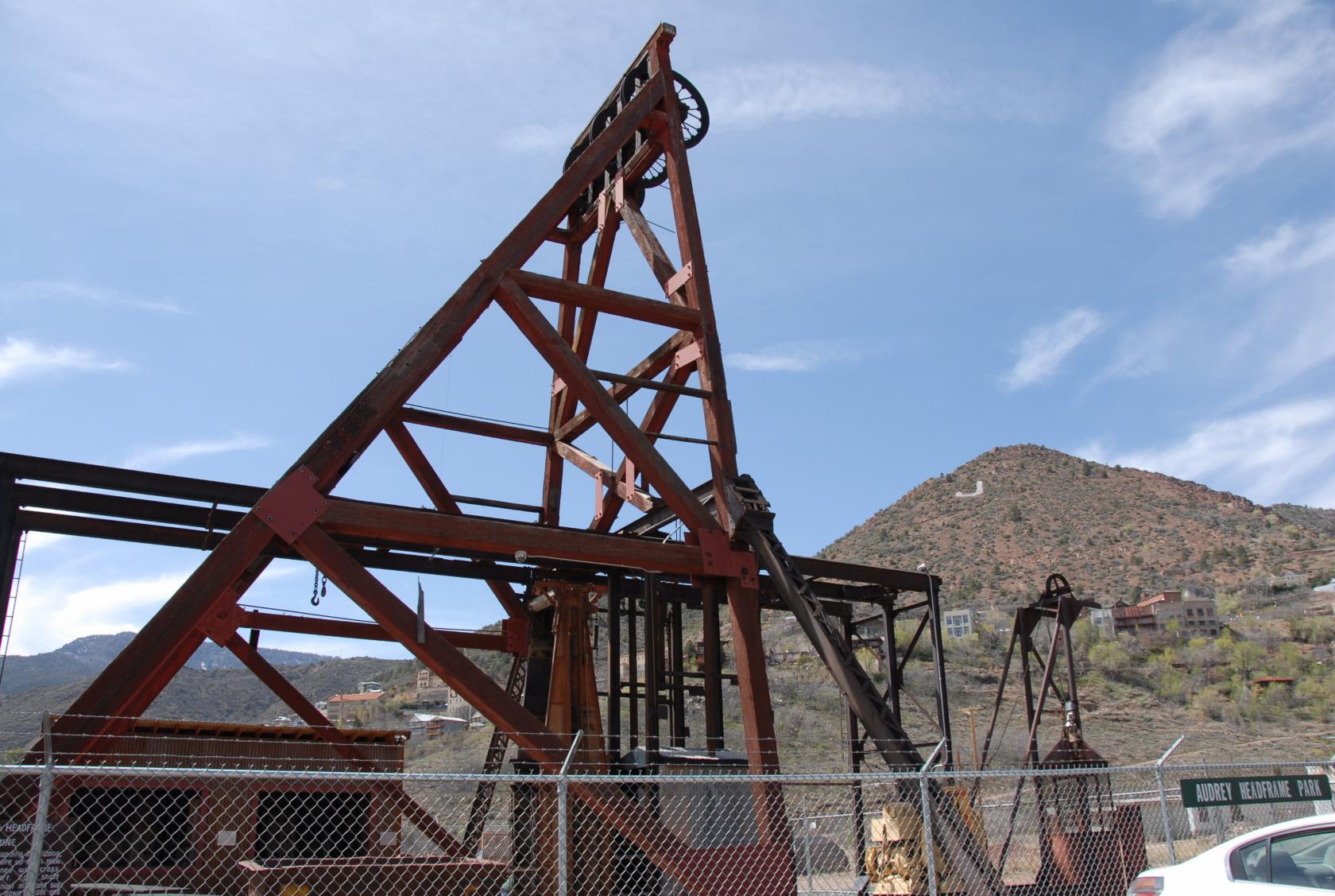
Headframe
This was Audrey Headframe, a crane that lowered miners
1600 feet into the cavern (and brought them out again,
hopefully).
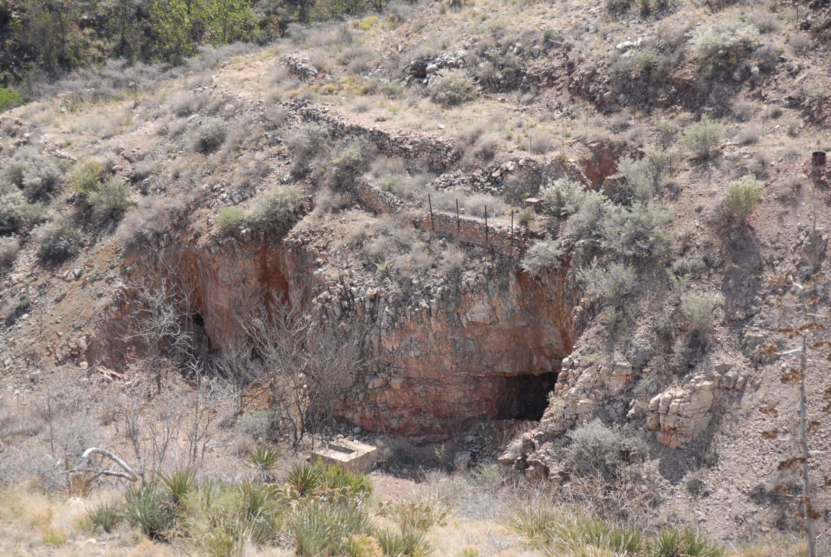 DSC_0974.JPG
One of many abandoned copper/silver/other mine shafts
in the area
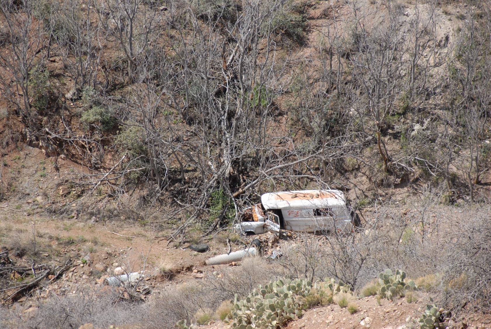 DSC_0973.JPG
An abanoned truck or van of some sort. At least, I
hope it’s abandoned....
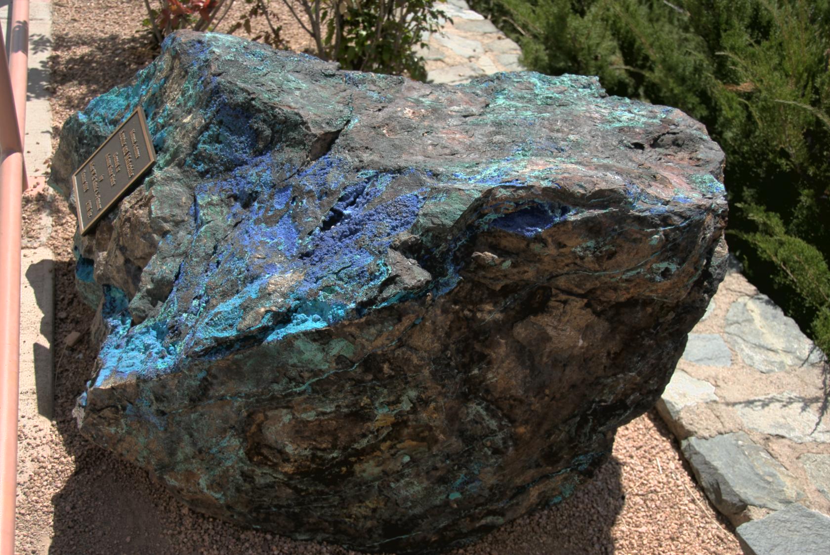 JeromeAzurite.jpg
Azurite is a beautiful blue ore containing copper and
other minerals.
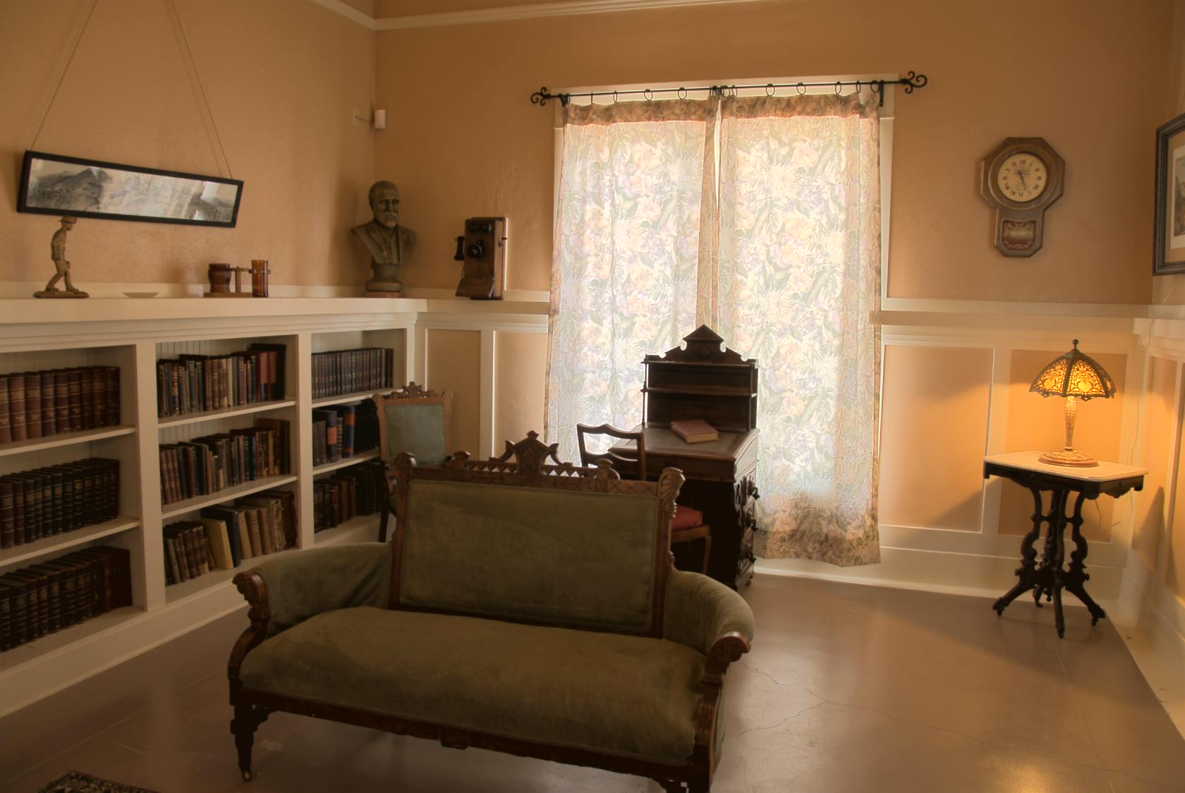 DouglasLibrary.jpg
The Jerome museum is a former residence of the Douglas
family, some of whose rooms are preserved. Ah, the
lap of luxury.
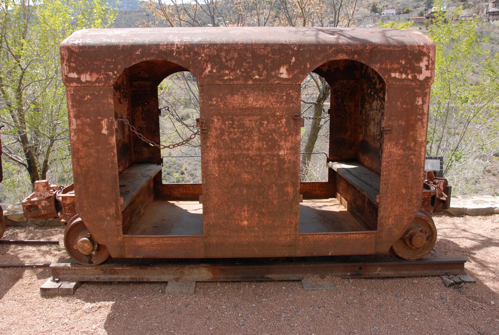 DSC_0994.JPG
More luxurious than the cars miners rode down in, anyway
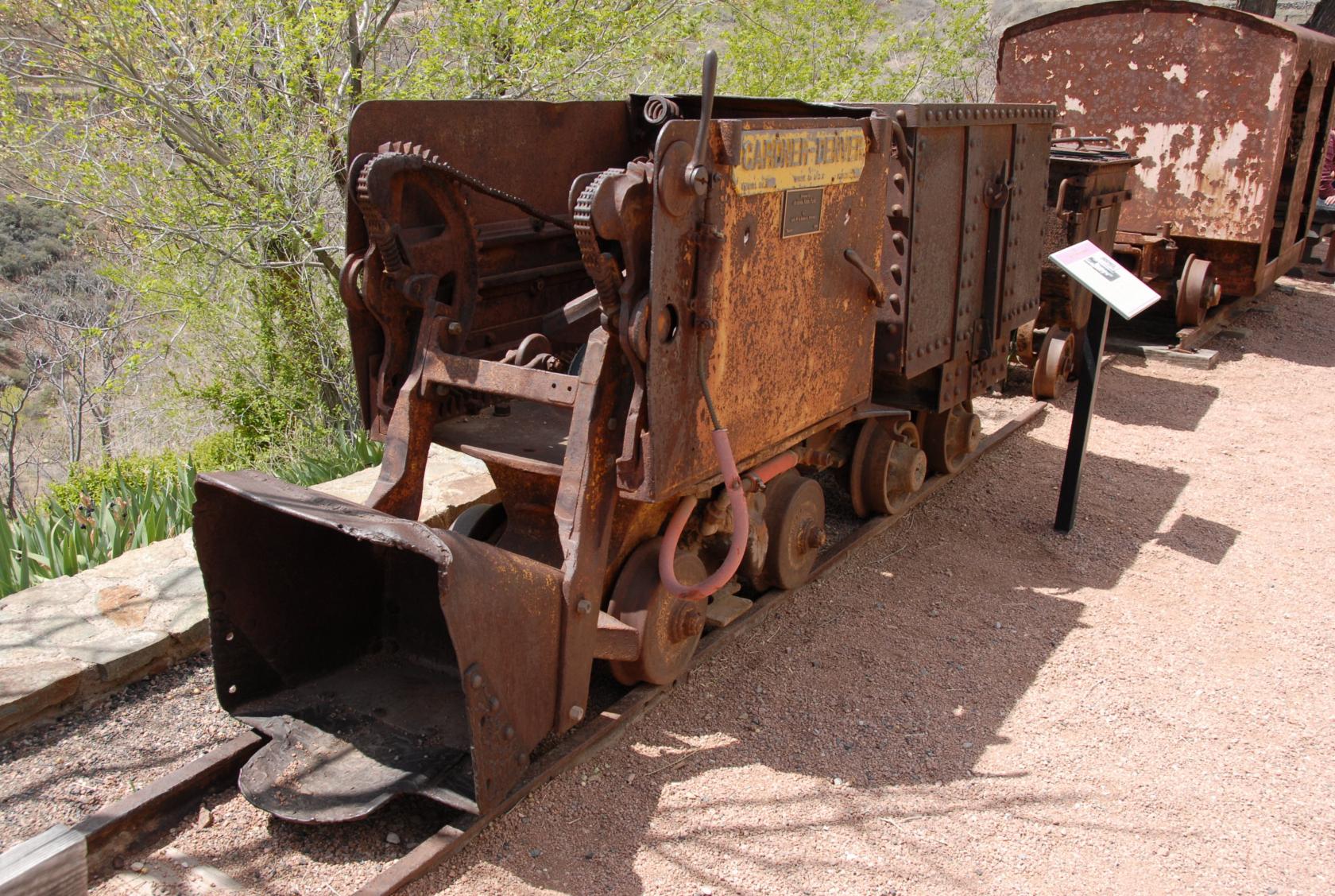 DSC_0992.JPG
An ore loader, methinks
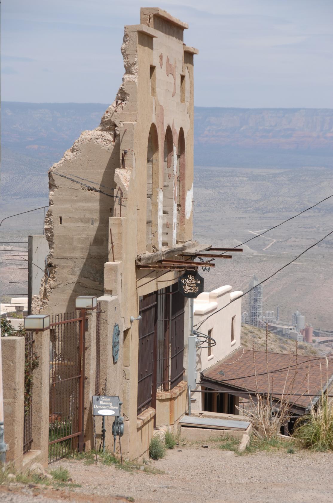
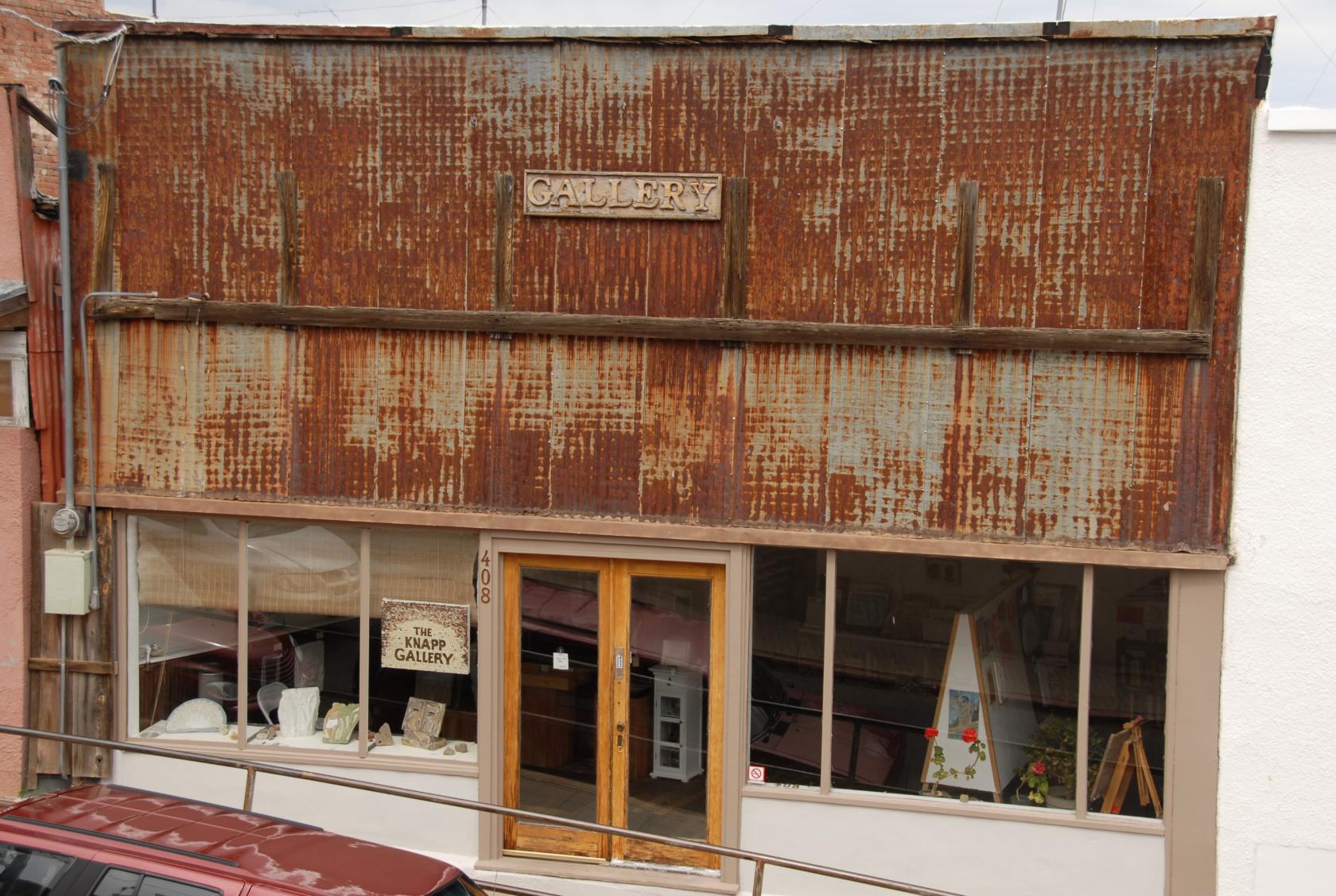
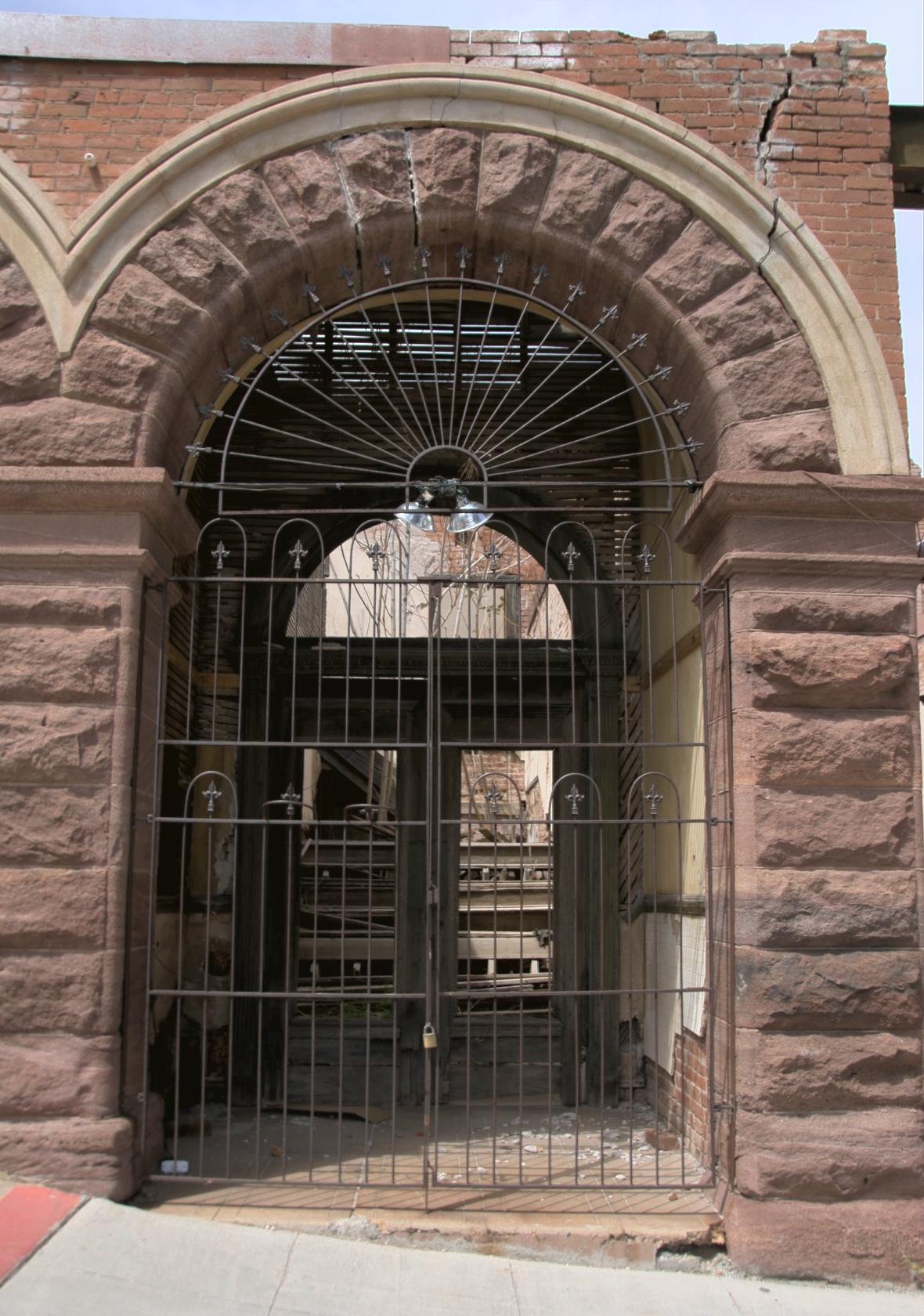 JeromeFacade1.jpg
One of many abandoned store fronts in town
 DSC_1002.JPG
Not a good place for a sock hop
 DSC_1004.JPG
Oddly enough, the sign out front looks pretty new.
 DSC_1012.JPG
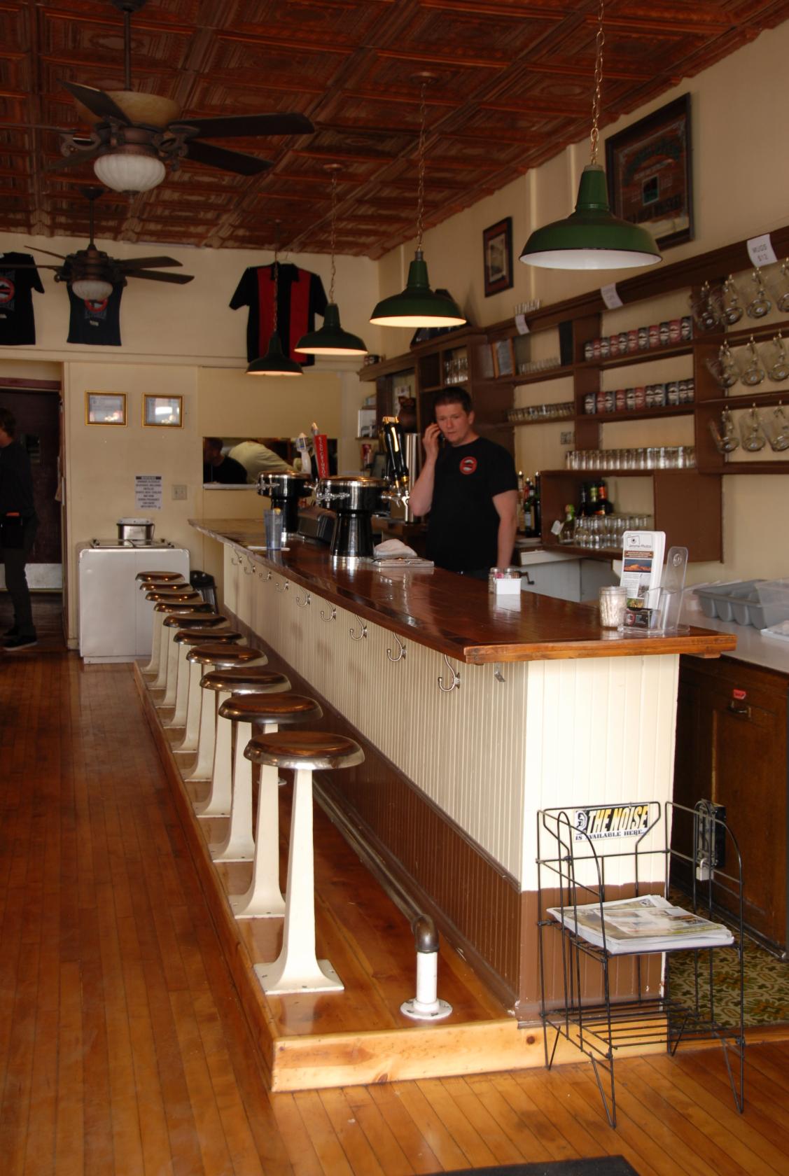
This is the bar of the BBQ place where we ate lunch
— our seats were outside since the weather was
so nice.
 DSC_1013.JPG
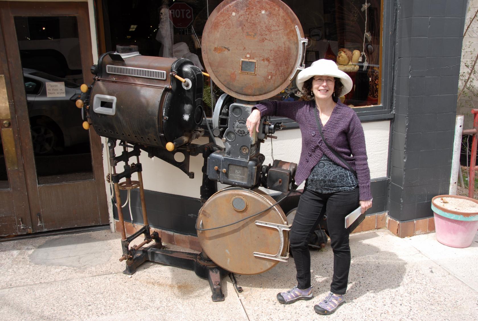
An old–time movie projector, back when the lamps
were carbon arcs and the film was highly flamable celluloid.
Not too many of these survived....
 DSC_1015.JPG
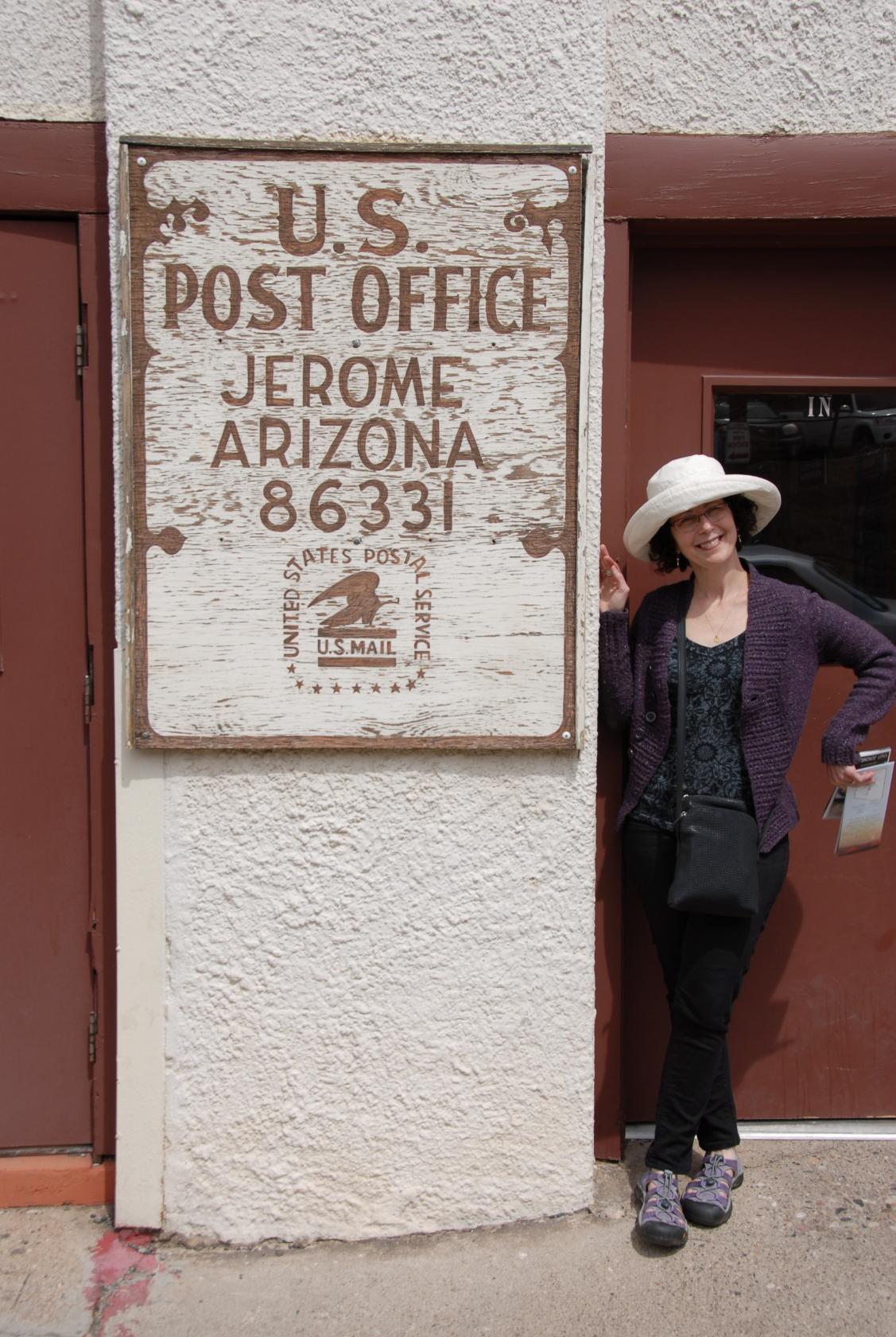
The post office was still active — I’d love
a look at their "dead letter" pile!
 DSC_1046.JPG
Must have been shiny at one point
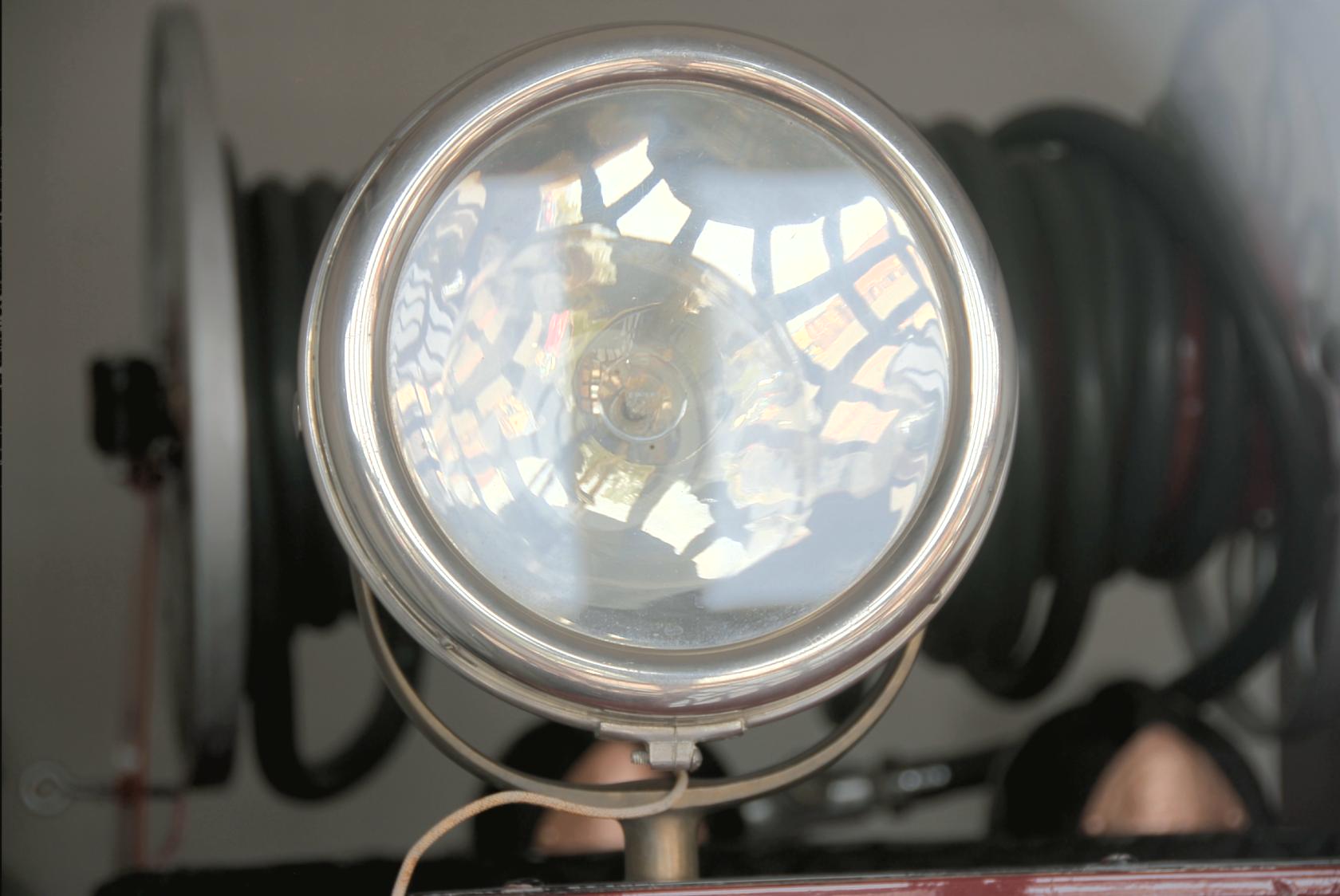 JeromeHeadlamp1.jpg
Still shiny, this is the aimable lamp on an old fire
truck.
 DSC_1028.JPG
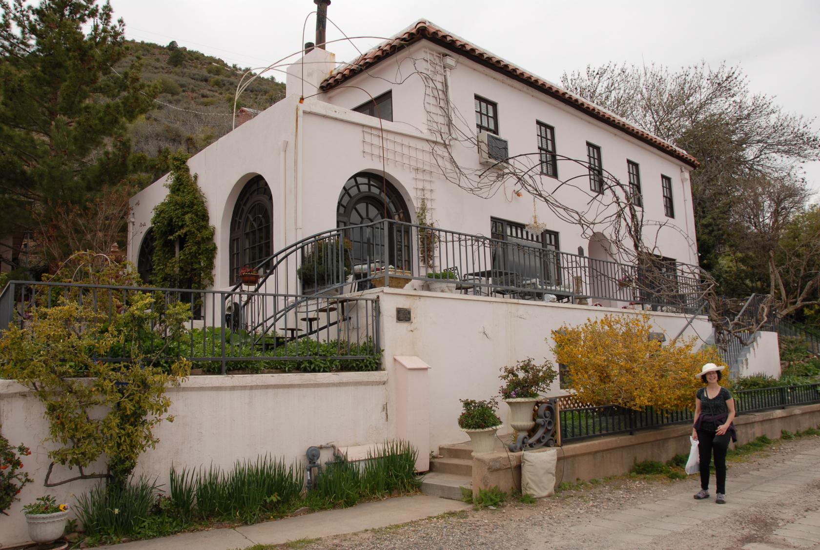
The Surgeon’s House
One of the most stylish private residences still standing
was built for the company surgeon. After the mines,
the hospital was probably the busiest place in Jerome
during its heyday.
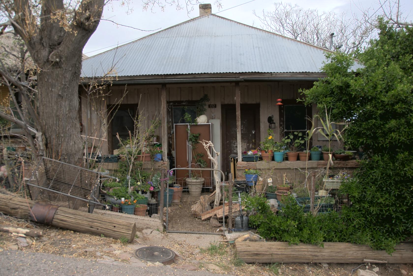 JeromeHouse1.jpg
Hippies moved in at some point and revitalized the town
after all the valuable minerals had been tapped out.
 DSC_1050.JPG
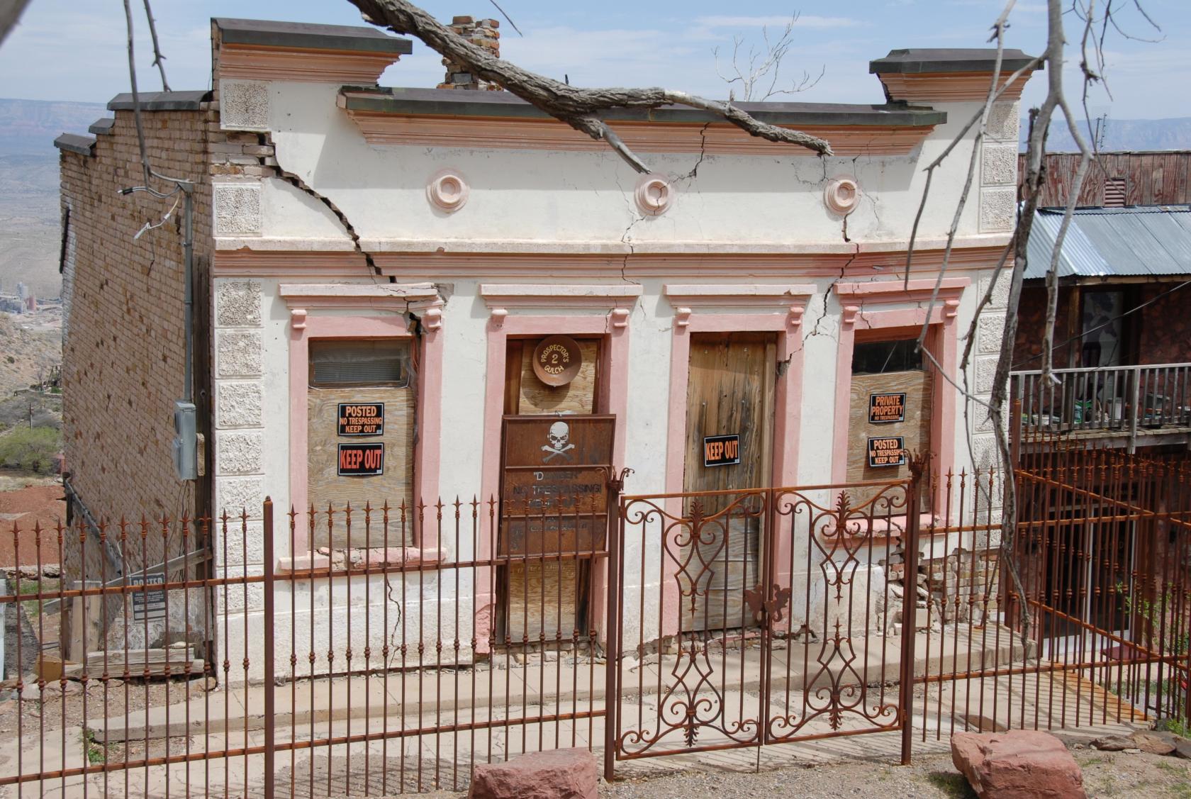
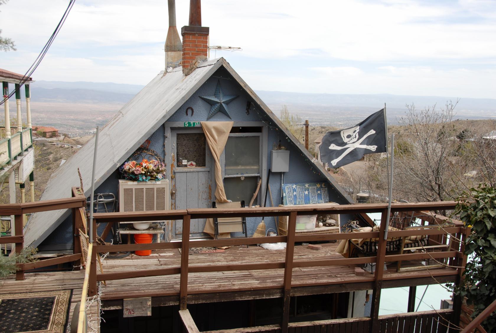
This one speaks for itself.
 DSC_1040.JPG
All the porches sloped one way or another.
 DSC_1027.JPG
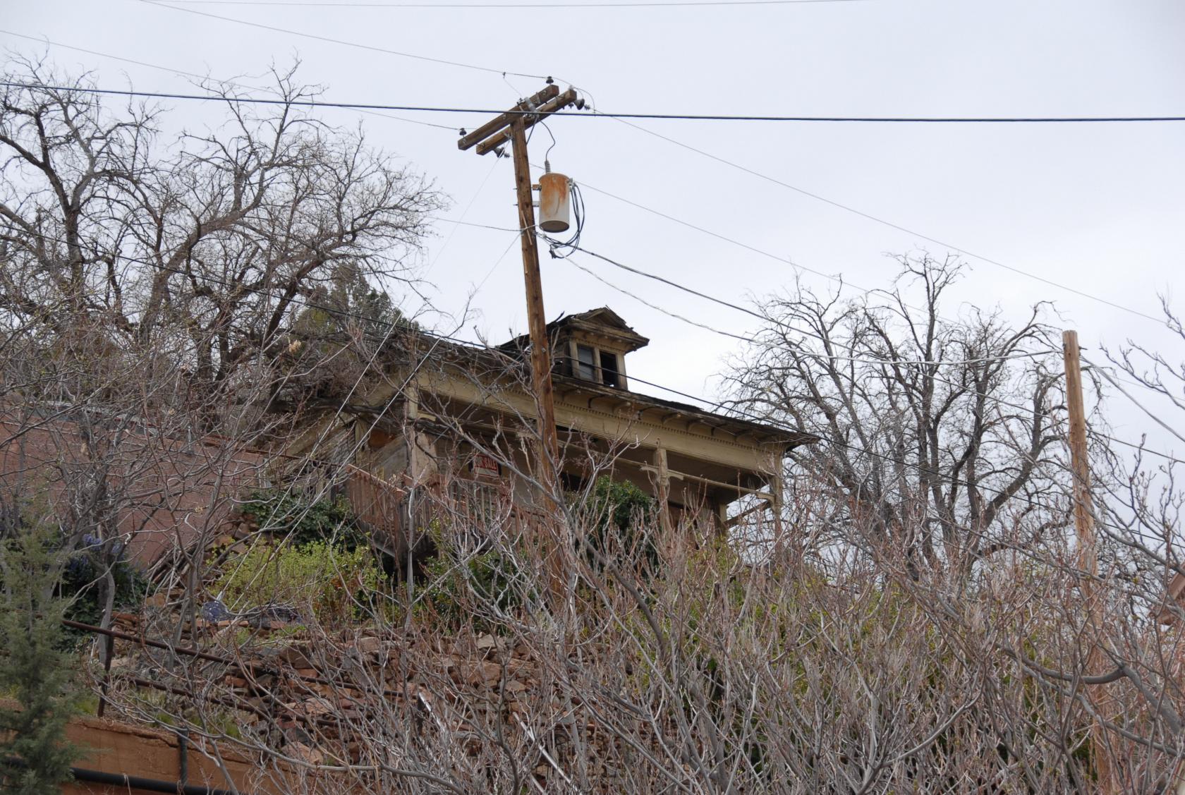
This particular porch was leading the way down the hill.
I wonder if the price was dropping as well....
 DSC_1077.JPG
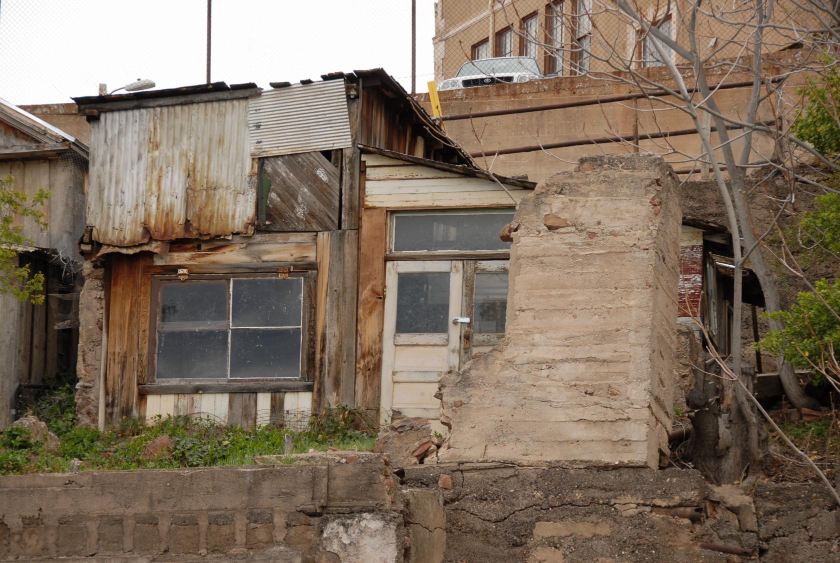
Home? Shed? Dumpster?
 IMG_1260.JPG
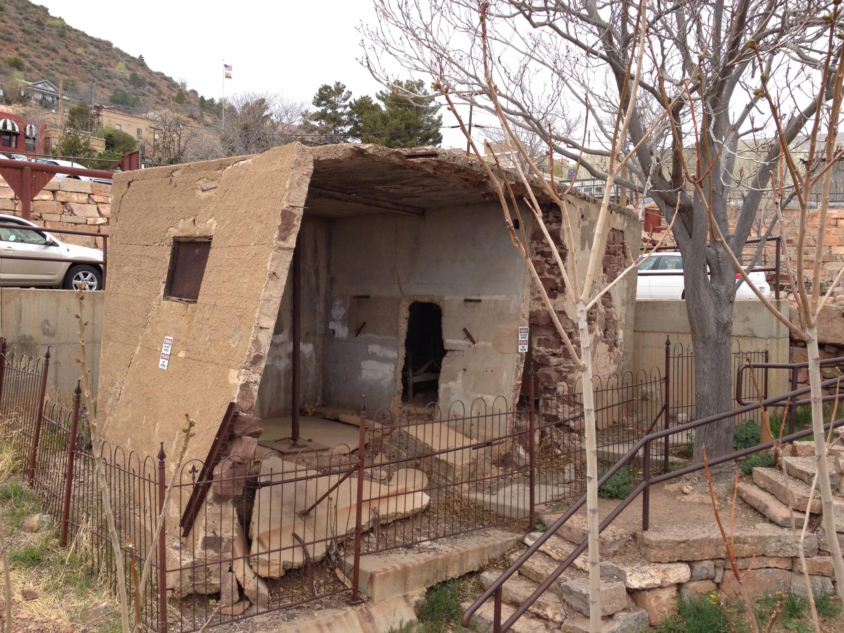
The Jail
Construction codes must have been quite lenient.
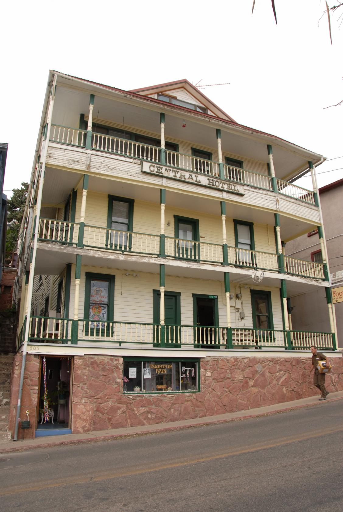 DSC_1082.JPG
One of the few original buildings still standing and
in use.
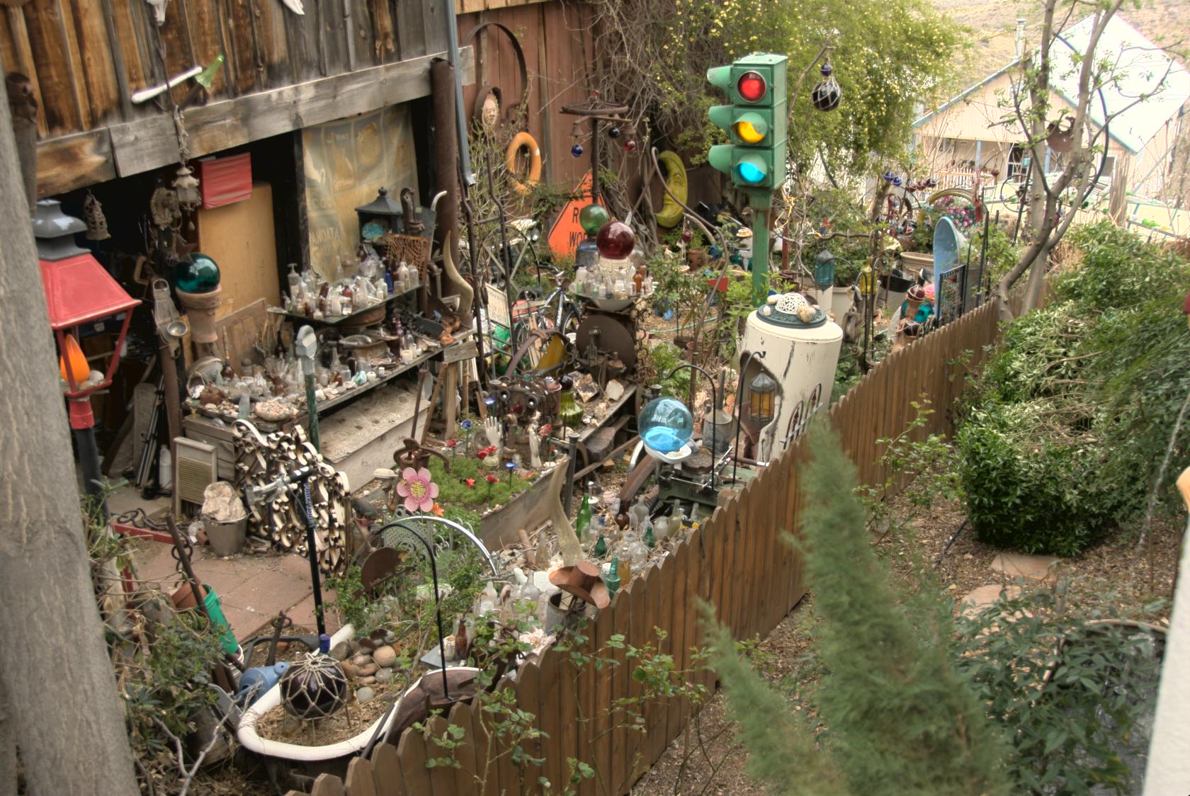
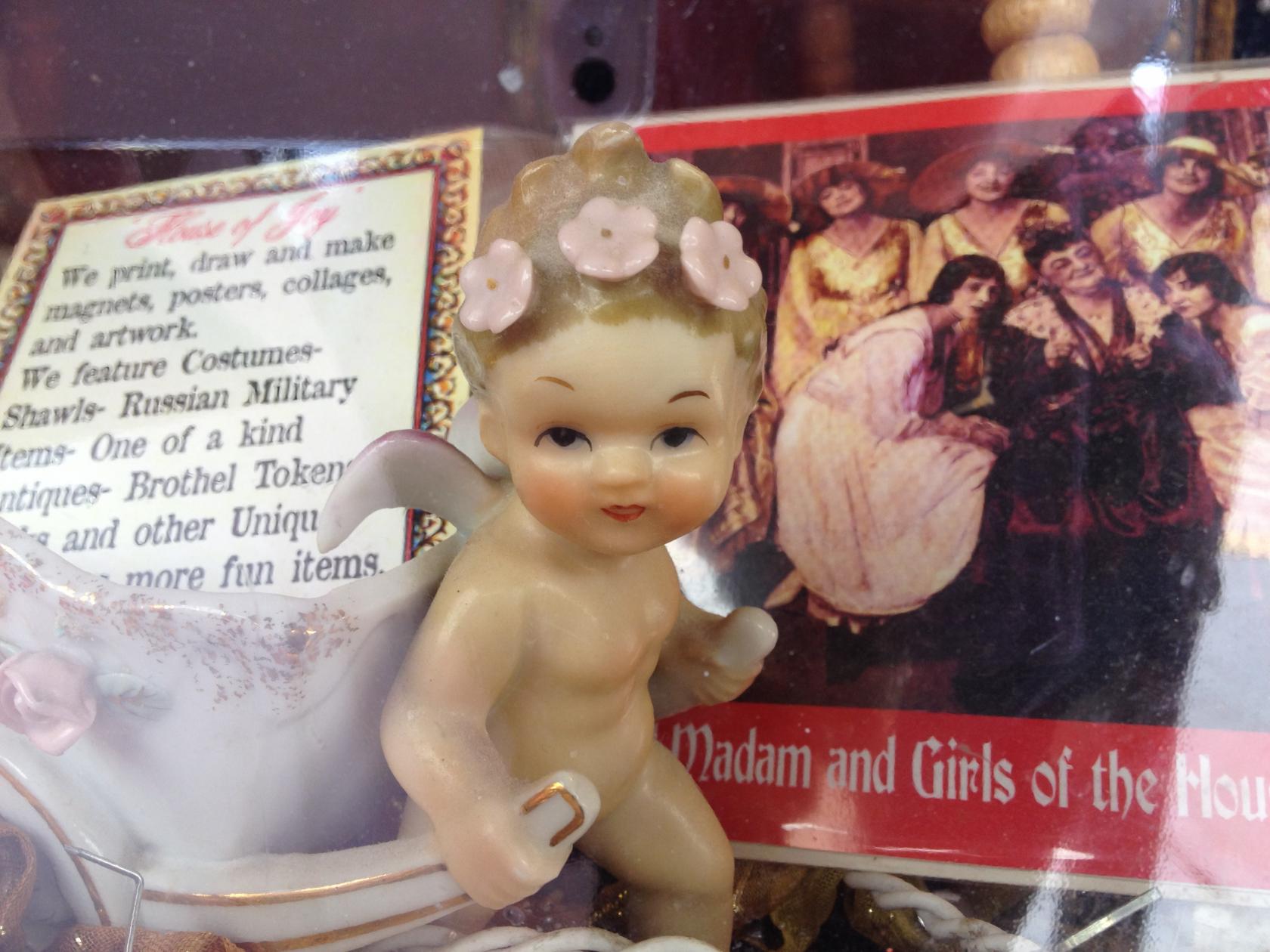
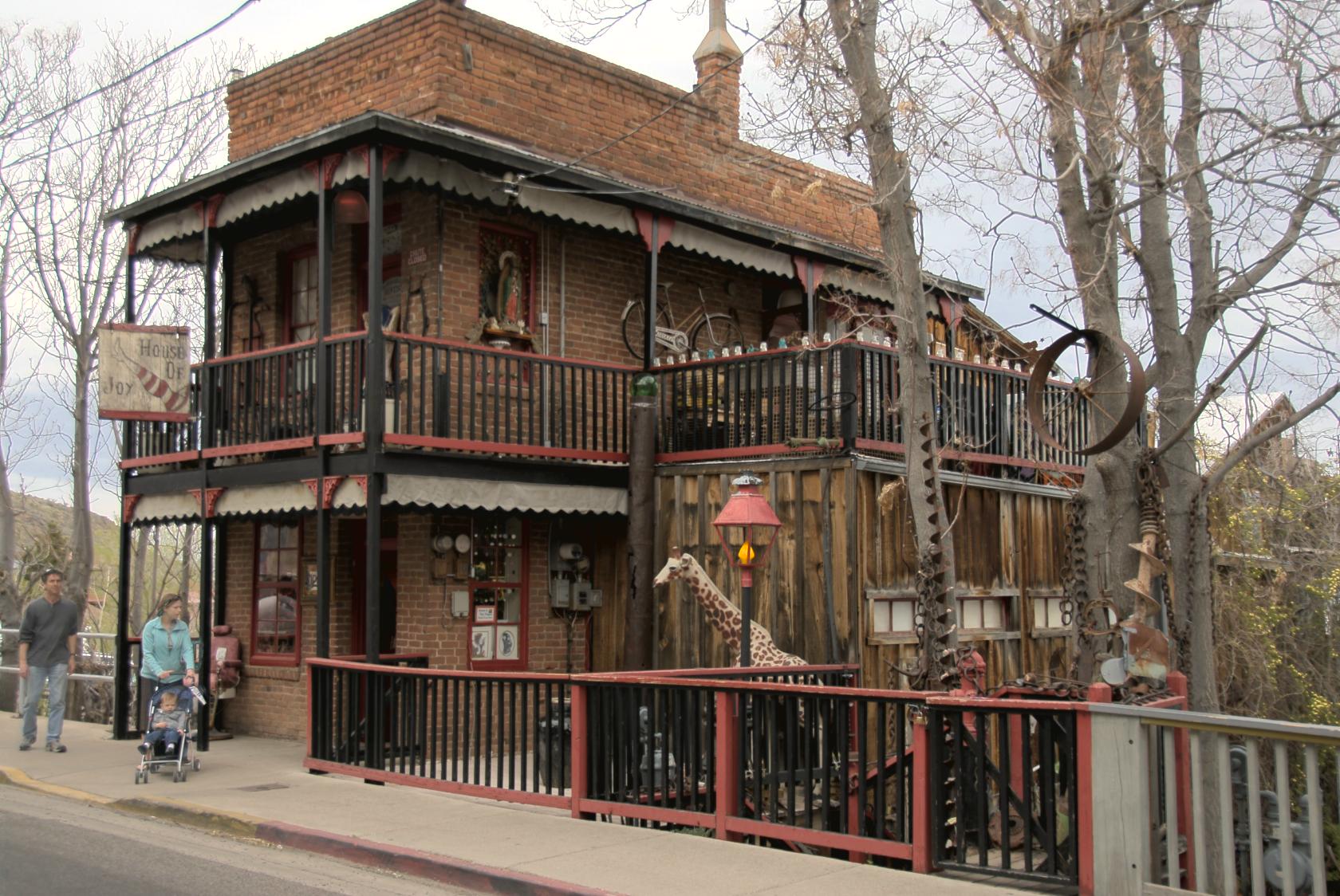 JeromeHouseOfJoy1.jpg
We loved this place.
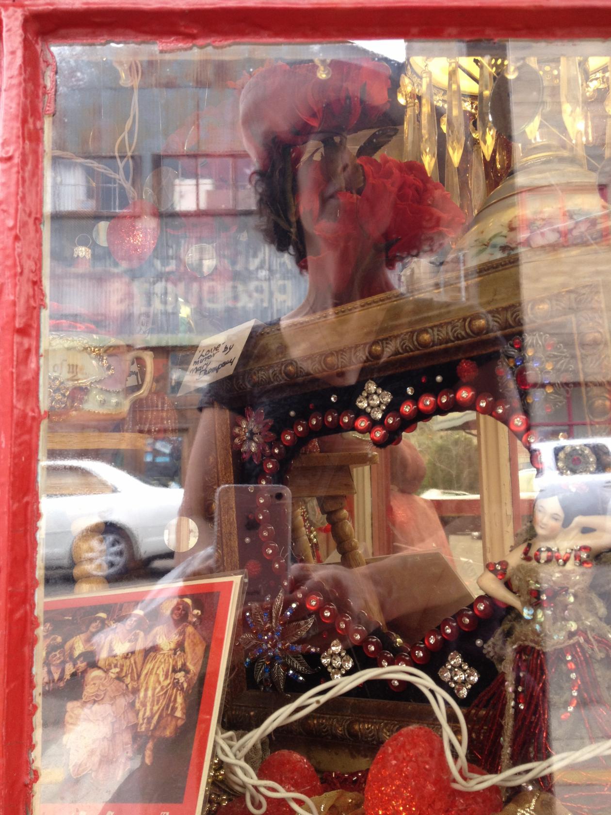
 JeromeHouseOfJoy2.jpg
I’m not sure what they were selling — or
what they weren’t.
 IMG_1254.JPG
This was from the shop across the street, also very
fanciful.
 IMG_1257.JPG
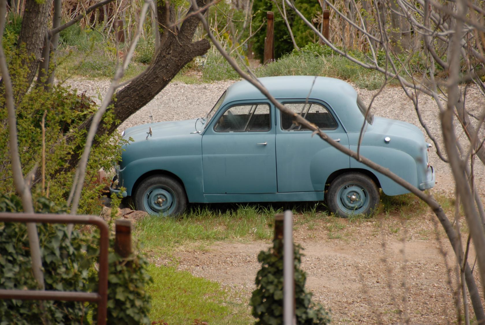
 DSC_1061.JPG
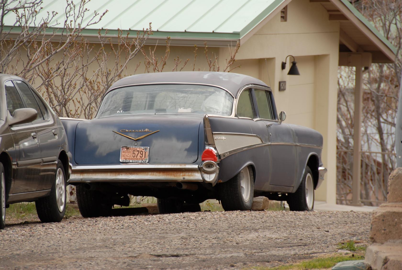
We saw some pretty old cars in town — this one
had a "historic vehicle" plate to prove it.
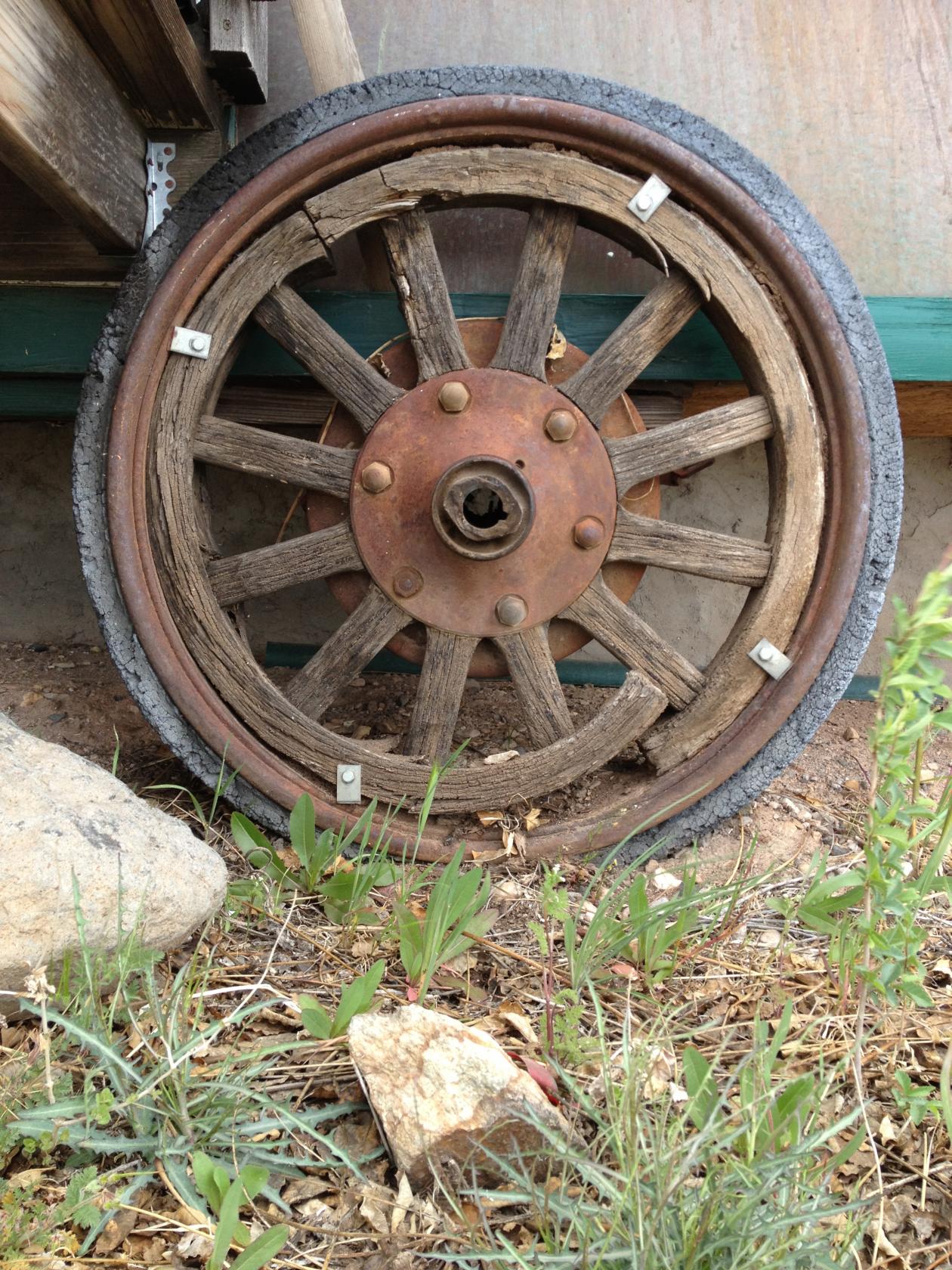
 DSC_1084.JPG
...although these wheels looked even older.
 IMG_1278.JPG
OK, you win!
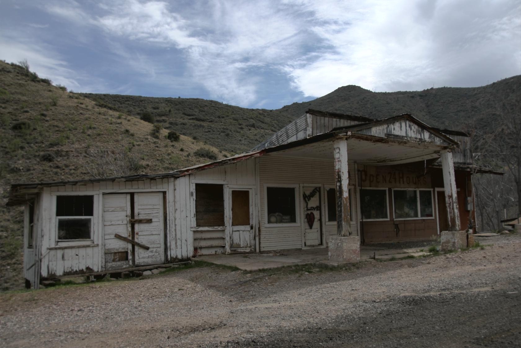 JeromeRoadsideCafe1.jpg
The "Open 24 Hours" sign refers to the roof
these days.
 DSC_1104.JPG
It’s got a great view — looking out!
Page created April 11 2012 8:47:19p